 |
| Saltwater intrusion in rivers has damaged the rice crop in Ca Mau's Thoi Binh District. VNA/VNS Photo |
What are the impacts of climate change on the Mekong Delta in the past few years?
Many scientists have forecast that the Mekong Delta region is one of the five regions in the world that will be seriously hit by climate change. It is reported that 11 out of the 18 types of natural disasters in the world have been detected in the Mekong Delta, such as typhoons, low atmospheric pressure, floods, land erosion and others. One of the most severe natural disasters that hit the region was Typhoon Linda in 1997 which killed more than 770 people, plus 2,120 people were missing and 1,230 others were injured. Adding to that, the flood in the year 2000 was described as the biggest flood in a century in the Mekong Delta, killing 539 people, injuring 212 others injured and damaging almost 900,000 houses.
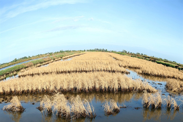
And in recent years, the flood water level in the Mekong River has changed considerably. If in the past, floods would only come in late September, or early October, in the past few years, they came in August. Adding to that, saltwater intrusion has become a big problem in the socio-economic development in the Mekong Delta.
Do you think the recent survey on floods, drought and saline intrusion in the Mekong Delta has helped farmers avoid big losses?
A recent survey on hydrology in the Mekong Delta helped authorities understand the volume of water that has entered the Mekong Delta region. Adding to that, it has helped scientists develop plans on how to control floods in the Mekong Delta region and Long Xuyen Quadrangle.
Can you tell us a bit about future meteorological survey activities in the Mekong Delta?
As we all know the construction of many reservoirs in the upper reaches of the Mekong River has led to impacts on the natural and social conditions in the Mekong Delta, particularly the erosion of river banks and coastal areas.
In addition, the low water level in the river has led to drought in many areas in the Mekong Delta. It has become an urgent task to make a mathematical model on meteorology and hydrology on the water flow in the Mekong River, particularly at the Tan An and Ben Luc areas in the dry season
At the same time, it is an imperative need to measure the suspended alluvial sediment at the Mekong River mouth to define the amount of alluvial which will pour into the Mekong Delta.
In addition, mobile meteorological stations should be established to collect information for weather forecasting, particularly typhoons or low atmospheric weather which will have negative impacts on the southern region.
According to statistics from the Department of Natural Disaster Prevention and Control, some 564 landslide points have been detected in all Mekong Delta provinces with a total length of 834km, including 512 landslide points on 566km along the rivers of Tien, Hau, Vam Co Dong and Vam Co Tay and on many main channels in the region. It is also reported 52 points along the length of 268km of the coastal area have been detected as facing the problem of serious soil erosion. VNS/Taichinh-Moitruong

Mekong Delta adapts to saline intrusion
Nguyen Hoang Hiep, Deputy Minister of Agriculture and Rural Development, talks to the Government's website chinhphu.vn on the need to develop plans to reduce the negative impacts of drought, salinity and land subsidence in the Mekong Delta.
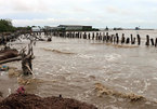
Mekong Delta grapples with erosion, subsidence
Erosion and subsidence along canals, rivers and coasts have been severe in many areas in the Mekong Delta and local authorities are struggling to raise funds for works to prevent them.