According to the agency, about 10-15 flash floods and landslides occur every year in Vietnam, mostly in mountainous areas in the north, central region, Central Highlands and eastern part of the southern region.
The landslides always result in a high death toll and property damage.
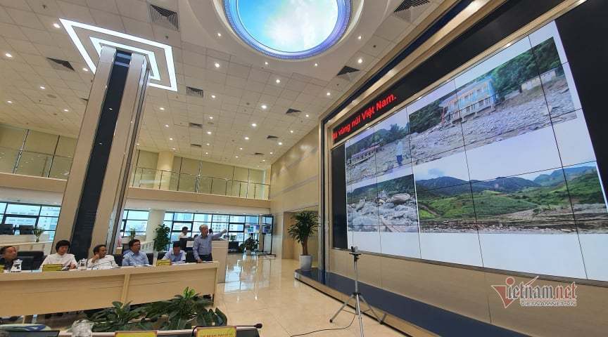
In 2020, many serious landslides occurred in Quang Nam, Quang Tri and Thua Thien-Hue, causing tens of deaths.
Scientists found that the rainfall in flash floods and landslides in areas were different because of various factors, including geology and topography.
According to VMHA’s Director General, warnings about landslides are given together with weather forecasts so that people and local authorities can prepare plans to cope with natural calamities.
However, the forecasts still cannot be fully and systematically integrated, while the warnings are just at the district level.
The Ministry of Natural Resources and the Environment (MONRE) is promoting research on flash floods on a large scale and risk zoning to help the government and local authorities anticipate the risks.
This will allow them to reasonably program local socio-economic development and apply measures to prevent and mitigate damage.
According to VMHA, it is necessary to determine the rain threshold that may cause landslides and flash floods in each locality and point out specific locations.
The challenge is that there is no integrated inter-section data system for natural disaster impact assessment, and there is no system for real-time warning of landslides and flash floods.
The agency said it is cooperating with scientific organizations to integrate more comprehensive data and warnings about landslides into weather forecast bulletins, commencing from June 2021.
Trinh Xuan Hoa, Deputy Director of Institute of Geosciences and Minerals, said in 2012- 2018 the institute joined forces with units under MONRE to implement a project on surveying, assessing and zoning the risks of landslides in mountainous areas of Vietnam.
Under the project, a database and maps providing detailed information about areas where landslides occur and areas with high risk have been created.
Prof Do Minh Duc from the Hanoi National University said choosing the right positions where monitoring systems should be installed is important to determine which kinds of sensors to use.
Regarding the warnings about flash floods and landslides, Vu Duc Long, deputy director of the National Centre for Hydrometeorological Forecasting, said that it is necessary to develop an automatic flow rain monitoring system, and promote early warning technology for landslides, rocky mud slides, and flash floods.
Hai Dang

Farmers in central region struggle to recover after historic floods
After felling 300 papaya trees in his farm, Nguyen Nam, a 60-year-old farmer in Dai Loc District, central Quang Nam Province, does not want to think about the historic floods that lashed the region last month.

Historic disaster: thousands of tons of shrimp and fish die in floods
The historic downpours and floods in the central region have damaged 25.9 percent of the total aquaculture area.