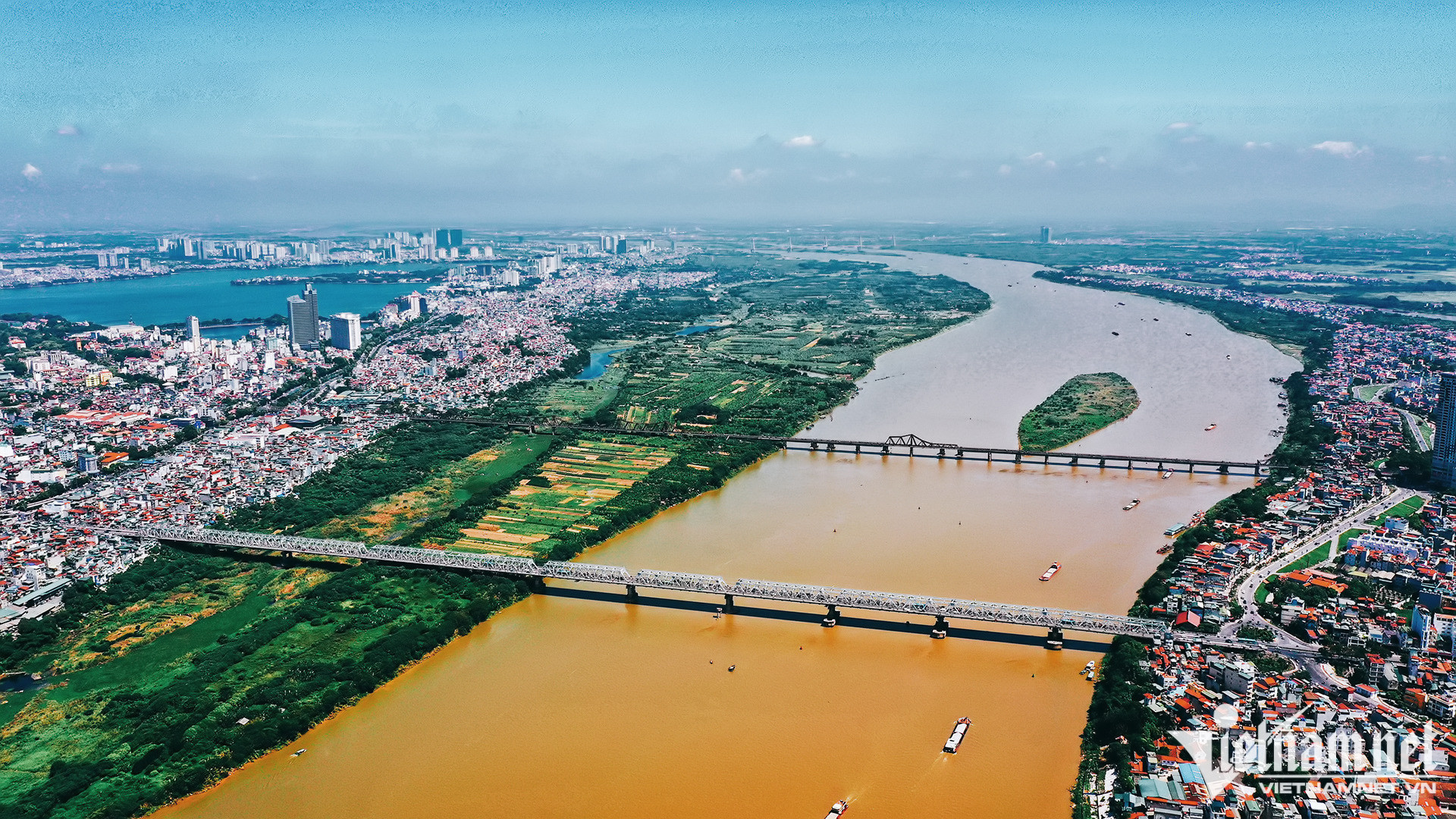
The Hanoi People’s Committee has completed a plan on adjusting the overall development planning by 2045. Under the plan, Hanoi will have five major space axes. Of these, the Red River axis will become the green space, cultural creative space, socio-economic development space, and the symbol of Hanoi.
In the Red River space, urban areas and eco parks on the two sides of the Red River will be developed to exploit the landscape value, and promote water ports and tourism.
The plan gives detailed explanations why the Red River space will be the capital city’s development symbol. The river is the convergence of natural, cultural and historical values.
The Red River axis will comprise three areas. The first starts in Ba Vi district to Hong Ha, 90 kilometers long. The second starts from Hong Ha Bridge to Me So Bridge, 40 kilometers long, which goes through the central area. The third starts from Me So to the end of Phu Xuyen district, 30 kilometers long.
To develop tourism, economy and the society, Hanoi plans to build a sky-monorail system along the Red River. The rail system will connect with waterways bus route, eliminating the spatial separation of the left and right dyke systems of the river.
All the station connection points of the monorail line will be connected with cultural tourism services, tangible and intangible cultural values such as Chu Dong Tu beach, Ba Tam Y Lan relic site and the ancient village of Bat Trang.
The second spatial axis West Lake – Ba Vi is to be connected with the space of Thang Long Avenue and National Highway 6. In this area, there will be an axis connecting the Thang Long – Xu Doai area and the mountainous northern midland.
The third spatial axis will be the West Lake – Co Loa. It will be a historical urban heritage area, to be connected with the West Lake, and Tu Lien – Co Loa Bridge.
There will be many cultural and symbolic works in the area, which link with traditional craft villages, surface water landscape and Co Loa Citadel relic.
The fourth axis is Nhat Tan – Noi Bai, which is expected to develop into a smart economic center and smart city, to be connected with the Noi Bai International Airport and northern cities.
The fifth spatial axis is the southern pole of Hanoi which will connect Thang Long – Hoa Lu heritage with the relic site of Huong Son – Tam Chuc. It will also be connected with the second airport of the capital city area and Phu Xuyen urban area and become the new driving force for Hanoi.
Once the new city in the southern part of Hanoi is established in the current districts of Phu Xuyen and Ung Hoa, Hanoi will have three dependent cities in the future.
Quang Phong