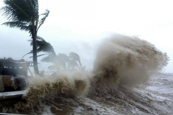
A tropical depression entering the East Sea is likely to strengthen into a storm.
The central region is forecast to experience a spell of heavy rain and flooding over the coming days as a tropical depression entering the East Sea is likely to strengthen into a storm.

A tropical depression entering the East Sea is likely to strengthen into a storm.
At 7 a.m. on October 6, the low-pressure system was swirling around the area, about 270km north and north-east of Song Tu Tay island of the Truong Sa archipelago, packing winds of 40-50kph near its centre, according to the National Centre for Hydro-Meteorological Forecasting (NCHMF).
Over the next 24 to 48 hours the system will move west at 20kph and is m per hour, and is likely to strengthen into a storm, the NCHMF reported.
The storm will cause rough seas and heavy rain in coastal provinces stretching from Quang Binh to Phu Yen, plus localities in the Central Highlands region, with average rainfall ranging from 80mm to 150mm.
Rainfall of 300mm and 600mm is expected to be recorded in the designated localities as soon as the storm moves closer and makes landfall over coming days.
Weather forecasters have warned about a high risk of landslides and flashfloods in mountainous localities and flooding in low-lying areas.
The Central Steering Committee for Natural Disaster Prevention and Control issued a dispatch on October 5 to direct localities from Quang Ninh to Binh Thuan to prepare for the impact of the tropical depression.
Meanwhile, the northern region will be hit by a cold snap on October 10-11. Weather experts warn the storm will interact with the cold snap to cause dangerous weather conditions.
Source: VOV

A tropical depression forecasted to appear in the East Sea is likely to become a storm.