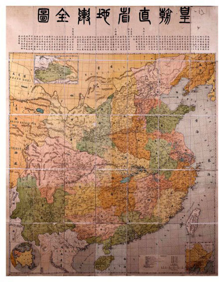
ancient maps
Update news ancient maps
Treasured maps show Paracels and Spratlys belong to Vietnam
The Hoang Sa Museum, on the coast of Son Tra peninsula, Da Nang City, is a unique site preserving documents and other artefacts about Vietnam’s sovereignty over the Hoang Sa (Paracel) and Truong Sa (Spratly) archipelagos.

Maps showing island sovereignty displayed in US
VietNamNet Bridge – A collection of 40 ancient maps, indicating the Hoang Sa Islands belong to Viet Nam, and two atlases were displayed for the first time at a conference: Conflict in the South China Sea at Yale university in Connecticut, the US

Western witnesses of Vietnam’s sovereignty over Hoang Sa
In the 15th century, Western missionaries and traders set foot in the "mysterious East". In Vietnam, commercial stations and commercial ports for European traders were set up in Dang Trong (the south) and Dang Ngoai (north).

Sovereignty cannot be occupied by force
"Sovereignty must be peacefully established and exercised by the State, without dispute, absolutely not sovereignty seized by force," said Prof. Dr. Nguyen Quang Ngoc.

OV conferred certificate of merit for collection of ancient maps
Da Nang authorities yesterday granted a Certificate of Merit for Tran Thang, a Vietnamese American, for painstakingly collecting historical maps and contributing to affirm Vietnam's sovereignty over the islands of Hoang Sa and Truong Sa.