 Vietnamnet.vn

 Podcast



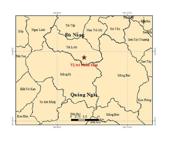
According to the Institute of Earth Sciences under the Vietnam Academy of Science and Technology, the first earthquake occurred at 12:10:57 a.m. on September 21 in Tra Linh commune, Da Nang.
The magnitude 2.6 earthquake was recorded at 14.978 degrees north latitude and 108.097 degrees east longitude. It was classified at disaster-risk level 0.
About 26 minutes later, at 12:37:28 a.m., a magnitude 2.8 earthquake struck Mang But commune in Quang Ngai province, at 14.829 degrees north latitude and 108.239 degrees east longitude.
At 3:38:40 a.m., a magnitude 2.7 earthquake was recorded in Tra Tan commune, Da Nang. Its epicenter was located at 15.205 degrees north latitude and 108.180 degrees east longitude.
The fourth earthquake occurred at 4:20:15 a.m. in Mang But commune, Quang Ngai province, at 14.948 degrees north latitude and 108.168 degrees east longitude.
At magnitude 3.0, it was the strongest of the four earthquakes recorded during the early hours of the day.
In total, Da Nang and Quang Ngai recorded four earthquakes ranging from magnitude 2.6 to 3.0 within just over four hours.
All had focal depths of approximately 8.1 kilometers and were classified at disaster-risk level 0.
The Earthquake and Tsunami Warning Center under the Institute of Earth Sciences is continuing to monitor seismic activity in the area.
Ha Nam
.svg)
