This includes 233 dead and 103 missing.
The northern mountainous province Lào Cai is the hardest-hit localitity with with 98 dead and 81 missing.
In particular, the devastating flash floods and landslides in Làng Nủ hamet in Phúc Khánh Commune, Bảo Yên District on September 10 left a total of 110 people dead or missing.
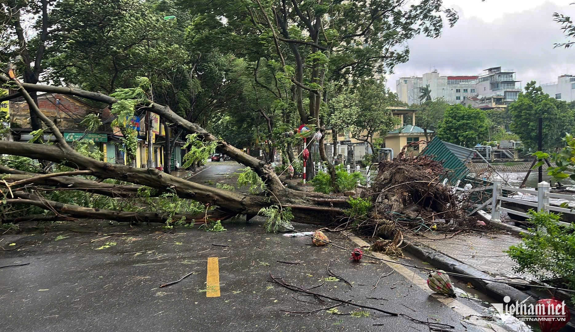
Local authorities report that over 9,000 homes across the province have been submerged, eroded, or washed away by floods. Many villages remain isolated, and residents are unable to travel due to flooding and landslides blocking roads. Total property damage is estimated in the trillions of đồng.
Lao Cai Province, along with various ministries and agencies, is continuing to mobilise all available forces to carry out search and rescue operations and mitigate the disaster's impact.
In Nủ Village alone, 650 people are currently involved in the search and rescue efforts, including 359 local residents and 300 soldiers from Military Region 2.
In addition to the Nủ Village landslide, another landslide in Nậm Tông Village in Nậm Lúc Commune, Bắc Hà District, completely buried eight homes, resulting in seven deaths and 11 injuries. As of the morning of Thursday, 11 people remain missing.
Phú Thọ reported one more death due to flooding.
Cao Bằng recorded 52 casualties (43 dead, 9 missing), Yên Bái 48 (42 dead, 2 missing), and Quảng Ninh reported 15 deaths.
Rail operations to be resumed as water level drops
The Hà Nội City’s Command for Disaster Prevention and Search and Rescue on Friday issued an order to lower the flood alert to level 2 on Hồng (Red) and Đuống rivers, with the possibility that railway operations across Long Biên and Đuống bridges could resume on the same day.
Based on the water level of the Red River in Long Biên District at 1 am on Friday, the Command lifted the level 2 alert for areas along the river within the districts of Bắc Từ Liêm, Tây Hồ, Ba Đình, Hoàn Kiếm, Hai Bà Trưng, Hoàng Mai, Long Biên and the surrounding districts of Thanh Trì, Đông Anh and Gia Lâm.
Similarly, based on the water level of the Đuống River at the Thượng Cát Hydrological Station at midnight on Friday, the Command lifted the level 2 alert for areas along the river in Long Biên, Đông Anh and Gia Lâm districts.
 |
| Houses along the riverside have returned to safety. |
Việt Nam Railways (VNR) reported that the railway across Long Biên and Đuống bridges could reopen today (September 13) as the water levels of the Red and Đuống Rivers have decreased.
VNR has requested the authorities to allow traffic on Long Biên and Đuống bridges starting this morning as the rivers’ water levels have receded to safe levels.
At the moment, VNR is closely monitoring the situation and preparing to propose reopening the railway routes across the two bridges. Before resuming operations, VNR will conduct a thorough inspection of the entire bridge system to ensure safety for both people and vehicles.
 |
| Some riverside residential areas are no longer flooded. |
Previously, at 3 pm on September 10, due to concerns over rising floodwaters in the Red, the Department of Transportation had banned pedestrians and vehicles from both directions on Long Biên Bridge.
At 10 p. on the same day, the department also banned all pedestrian and vehicle traffic on Đuống Bridge.
Water slowly receding
According to the National Centre for Hydro-Meteorological Forecasting, at 8 pm on Thursday, the flood on the Cầu River in Bắc Ninh Province reached its peak at 7.79 metres, 1.49 metres above the third warning level, and just 0.05 metres below the historical flood level of 1971, which was 7.84 metres.
The water level is slowly receding.
Floodwaters on the Thái Bình River in Hải Dương City are also receding slowly. Similarly, the flood on the Hoàng Long River in Ninh Bình Province at Bến Đế peaked at 4.93 metres, 0.93 metres above the third warning level at 7 pm on Thursday, and is now gradually decreasing.
Floodwaters on the Thương River and the Lục Nam River in Bắc Giang Province are slowly receding. Meanwhile, the flood level on the Red River in Hà Nội is also dropping.
The National Centre for Hydro-Meteorological Forecasting predicted that in the next 12 to 24 hours, flood levels on the Cầu, Thương, and Hoàng Long rivers will continue to recede but will remain above the third alert level.
Flood levels on the Lục Nam and Thái Bình rivers will also decrease but will stay above the second alert level, while the Red River in Hà Nội is expected to drop below the first alert level.
The centre also warned that over the next 24 hours, water levels at several downstream stations in the Red River-Thái Bình River system will change slowly but remain high, generally between the second and third alert levels, with some areas possibly exceeding the third alert level.
Due to the slow drainage of floodwaters from the Red River system, flooding is expected to persist in low-lying areas, riverbanks, and floodplains outside the main dikes in the provinces and cities of Hà Nội, Bắc Giang, Bắc Ninh, Thái Nguyên, Ninh Bình, Nam Định, Thái Bình, Hà Nam, and Hải Dương.
Prolonged high floodwaters could lead to breaches or overflow of riverbanks, and dike erosion, posing serious risks to vulnerable areas along rivers in Hà Nội, Hà Nam, Nam Định, Hải Dương, Hưng Yên, Thái Bình, and Ninh Bình.
The flood disaster risk warning level is set at level 3. — VNS