According to the National Center for Hydro-Meteorological Forecasting, a cold air mass located to the north is moving toward Vietnam and is expected to affect northern regions from the evening and night of June 8.
Although June marks the beginning of summer, the appearance of cold air during this period is not unprecedented. Statistics covering the period from 1979 to 2025 recorded 25 cold-air events occurring in June, averaging around 0.53 events per year.
However, since 1991, the frequency of June cold-air outbreaks has declined significantly. Over the past 35 years, only seven such events have been recorded, averaging about 0.2 events annually. Notably, no June cold-air outbreaks were observed between 2014 and 2025.
Experts say the trend reflects the impacts of climate change and global warming, which have made summer cold-air intrusions affecting Vietnam increasingly rare.
Heavy rain expected across northern and north-central Vietnam
Forecasters say the cold air mass will begin affecting mountainous areas of northern Vietnam from the evening of June 8 before expanding into the Northeast, parts of the Northwest, and north-central provinces.
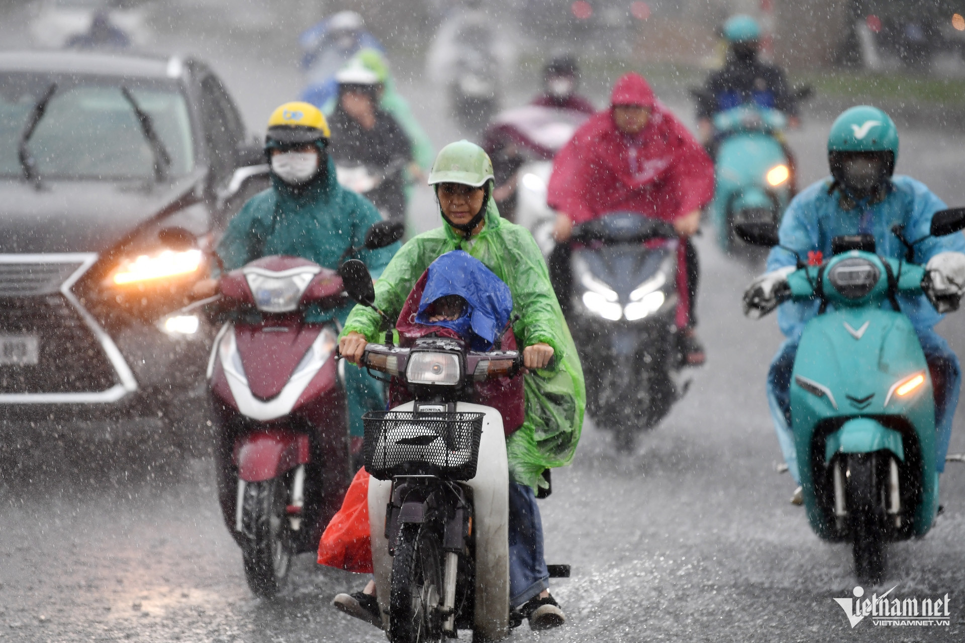
On land, winds will shift to the northeast at force 2-3, increasing to force 3 in coastal areas. Combined with an upper-level convergence zone at an altitude of around 5,000 meters, the cold air is expected to trigger widespread moderate to heavy rainfall across northern Vietnam from the evening of June 8 through June 9.
The Northwest region, along with northern parts of Phu Tho and Tuyen Quang provinces, is forecast to receive heavy to very heavy rain accompanied by thunderstorms. Rainfall totals are expected to range from 80 to 160 millimeters, with isolated areas exceeding 250 millimeters.
Thanh Hoa and Nghe An provinces are forecast to receive between 50 and 100 millimeters of rain, with some locations surpassing 150 millimeters.
Elsewhere across northern Vietnam, rainfall totals from the evening of June 8 to the morning of June 9 are expected to range from 20 to 50 millimeters, with isolated areas receiving more than 100 millimeters.
Meteorologists have warned of intense rainfall exceeding 100 millimeters within a three-hour period. Thunderstorms may also bring tornadoes, lightning, hail and strong wind gusts.
Authorities have issued particular warnings for the Northwest region, northern Phu Tho and Tuyen Quang, where flash floods on small rivers and streams, along with landslides on steep slopes, are possible.
Temperatures to drop sharply, cooler weather expected in Hanoi
Under the combined influence of cold air and rainfall, temperatures in the Northeast region and Thanh Hoa are expected to fall by 5-7 degrees Celsius on June 9 compared with previous days.
Daytime highs are forecast to remain below 31 degrees Celsius, with cooler conditions arriving from the night of June 8.
The lowest temperatures during this cold spell are expected to range between 22 and 25 degrees Celsius in the Northeast and Thanh Hoa, while some mountainous areas could see temperatures fall below 21 degrees Celsius.
In Hanoi, moderate to heavy rain and thunderstorms are forecast from the evening of June 8 through the morning of June 9, with some areas experiencing very heavy rainfall. The capital is expected to turn noticeably cooler from the night of June 8, with minimum temperatures ranging from 23 to 25 degrees Celsius.
Rough seas in the Gulf of Tonkin as central Vietnam's heat eases
The cold air mass is also expected to affect the northern Gulf of Tonkin from the night of June 8.
Northeasterly winds will strengthen to force 4-5, occasionally reaching force 6 with gusts up to force 7. Waves are forecast to reach heights of 1.5-2.5 meters, creating rough sea conditions that may disrupt maritime activities.
In central Vietnam, the ongoing heatwave is expected to retreat beginning June 9, remaining only from Hue southward to eastern Dak Lak Province. By June 10, the prolonged heatwave that has persisted since late May is forecast to largely come to an end.
Meteorologists warned that thunderstorms accompanied by tornadoes, lightning, hail and strong winds could damage agricultural production, uproot trees, and affect homes, transport infrastructure and public facilities.
Prolonged heavy rain may also increase the risk of flash floods along small rivers and streams, landslides in mountainous areas, and flooding in low-lying regions.
At sea, strong winds, high waves and rough conditions could pose risks to fishing vessels, maritime transport and offshore operations.
Bao Anh