 Vietnamnet.vn

 Podcast


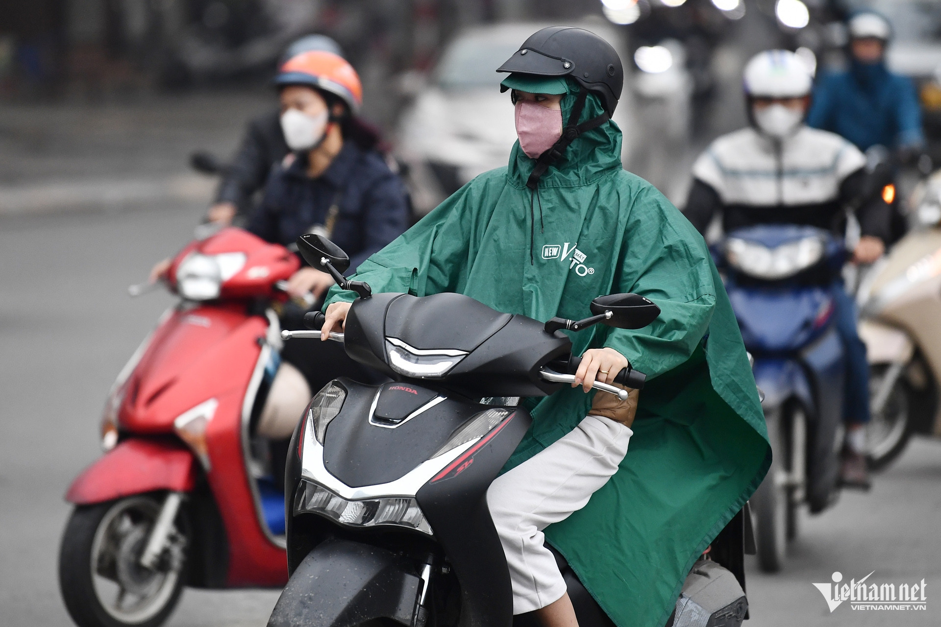
Northern Vietnam to warm up before new cold front
According to the National Center for Hydro-Meteorological Forecasting (NCHMF), weather conditions across Vietnam are expected to fluctuate considerably during the 10-day period from the night of November 14 to November 24.
In northern Vietnam, isolated showers and thunderstorms are forecast, with sunshine during the day and chilly conditions at night and in the early morning.
Temperatures are expected to continue rising between November 15 and 17, with daytime highs exceeding 30 degrees Celsius in some areas.
However, a new cold air mass is forecast to reach the region around November 18, bringing scattered showers and thunderstorms, with localized moderate to heavy rainfall.
From November 18-19, temperatures across the north are expected to fall, with cold conditions developing in some mountainous areas.
Meteorologists said the incoming cold front would be weaker than the one recorded on November 9, meaning prolonged strong winds and sharp temperature drops are unlikely.
Daytime temperatures are forecast to range between 21 and 25 degrees Celsius, while nighttime and early morning readings could fall to 15-20 degrees.
In Hanoi, temperatures could reach 32 degrees Celsius on November 17 before gradually declining as the cold air strengthens from November 18.
By November 20, the capital's temperatures are expected to range from approximately 19 to 21 degrees Celsius.
Daytime temperatures may recover slightly in the following days, although nights and early mornings are expected to remain chilly.
Meteorologists also noted that significant differences between daytime and nighttime temperatures could make weather changes particularly noticeable.
In central Vietnam, isolated showers and thunderstorms are expected over the coming days.
From Thanh Hoa to Ha Tinh, scattered showers and thunderstorms are forecast around November 18-19, with localized heavy rainfall.
From November 19, areas stretching from Quang Tri to Da Nang, along with eastern parts of provinces from Quang Ngai to Dak Lak and Khanh Hoa, could also experience scattered thunderstorms and locally heavy rain.
In southern Vietnam, scattered showers and thunderstorms are expected during the afternoon and evening.
Further rainfall is forecast around November 19-20, with some areas potentially experiencing heavy downpours.
The meteorological agency warned that thunderstorms could be accompanied by tornadoes, lightning, hail and strong gusts.
Temperatures across Vietnam forecast to remain above average
Looking further ahead, the national meteorological agency expects average temperatures across Vietnam to remain generally 1-2 degrees Celsius above the long-term average through approximately December 10, 2026, with some locations recording even greater differences.
Regarding rainfall, total precipitation in the northern midland and mountainous regions is forecast to be 5-20% above the long-term average for the same period.
Most other areas are expected to receive 5-20% less rainfall than usual.
Notably, parts of the south-central coastal region and the Central Highlands could see rainfall totals 20-40% below their long-term averages.
Tropical storm and tropical depression activity over the East Sea is expected to remain below average during the forecast period, with a relatively low likelihood of systems affecting Vietnam's mainland.
Historically, the East Sea records an average of approximately 1.3 storms or tropical depressions during the corresponding period, of which about 0.7 make landfall in Vietnam.
Nevertheless, widespread rainfall remains possible across the country, with moderate to heavy rain expected to concentrate mainly in central Vietnam.
Cold air outbreaks affecting northern and central Vietnam are likely to be relatively strong during the first one to two weeks of the forecast period before weakening to below-average intensity.
Meteorologists warned that cold air interacting with upper-level wind convergence, a westerly trough at an altitude of around 5,000 meters, easterly wind disturbances and a southern equatorial trough could trigger widespread rainfall.
Such conditions may also increase the risk of tornadoes, lightning, hail and strong gusts.
As climate change contributes to increasingly complex and extreme weather patterns, the meteorological agency urged local authorities and residents to regularly monitor weather forecasts and warnings issued one to three days in advance.
Timely updates will help communities adjust production plans, prepare appropriate responses and protect lives and property.
Bao Anh

