According to the Southern Regional Hydrometeorological Center, a new cold air surge may reach northern Vietnam around November 24–25, accompanied by a weakened subtropical ridge aloft from November 26. In parallel, a tropical cyclone or low-pressure system is forecast to potentially form in the East Sea between November 26–27.
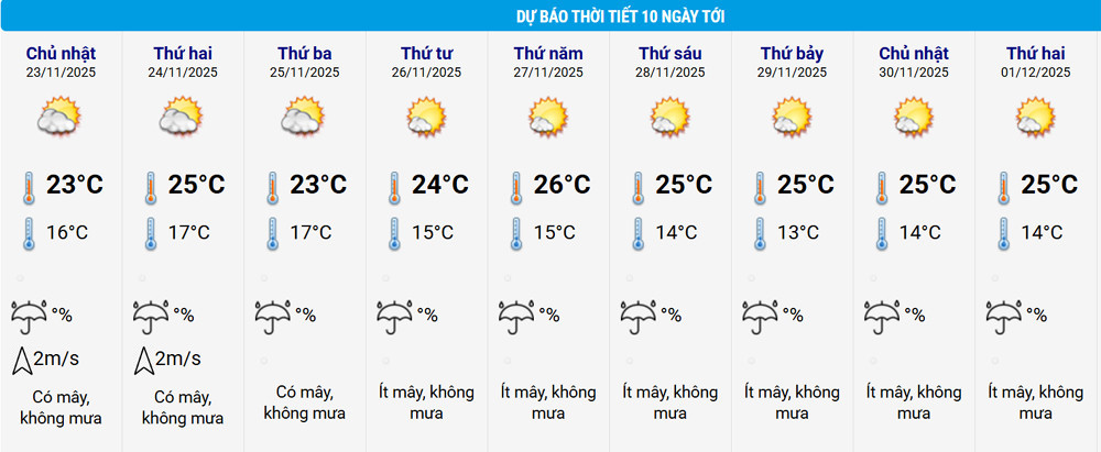
The National Center for Hydro-Meteorological Forecasting (NCHMF) confirmed that due to an easterly deviation, weather in the northern and north-central regions is likely to remain dry at night with sunshine during the day. Nighttime and early morning will be cold, with freezing conditions in some northern mountainous areas.
Central Vietnam to experience ongoing rainfall until November 24
From now until November 24, moderate to heavy rain is expected to persist in Hue, the eastern parts of provinces from Da Nang to Dak Lak, and northern Khanh Hoa. However, rainfall intensity should decrease by the night of November 24.
The NCHMF forecasts that 1–2 tropical storms or depressions may form in the East Sea over the next month, with potential impact on Vietnam’s mainland. Meanwhile, cold air surges are projected to increase in both frequency and intensity, with severe cold snaps likely in December.
Rainfall forecast and regional breakdown
Rainfall in northern Vietnam and the Thanh Hoa–Da Nang corridor will likely be below average. Specifically:
North and Thanh Hoa–North Nghe An: 15–30mm (10–20mm lower than average)
South Nghe An to Quang Tri: 100–200mm
Hue to Da Nang: 200–400mm (50–150mm below average)
Other regions will see rainfall close to seasonal averages (50–100mm), with some exceeding that range.
Notably, areas from Quang Ngai to Dak Lak and Khanh Hoa are at risk of heavy downpours from late November to early December, with projected rainfall ranging from 250–500mm, and some locations exceeding 600mm.
Central Highlands and southern Vietnam may also see showers and thunderstorms, especially in late November.
Temperature trends lower than seasonal norms
Nationwide, average temperatures are forecast to be lower than usual. In particular:
North and Thanh Hoa–Da Nang: 0.5–1.5°C below average
Other regions: about 0.5°C below average
Warnings for hazardous weather
The meteorological agency warned that thunderstorms, lightning, hail, and strong gusts remain possible across Vietnam, especially during seasonal transitions.
“In the face of increasingly extreme weather caused by climate change, people and local authorities should regularly monitor 1–3 day short-term forecasts and proactively prepare appropriate response measures to protect life and property,” said the National Center for Hydro-Meteorological Forecasting.
What is a tropical cyclone?
A tropical cyclone is a large-scale rotating storm system (with diameters reaching hundreds of kilometers) that forms over tropical seas. Air spirals inward toward a low-pressure center, bringing rain and often thunderstorms and strong winds.
A tropical depression has sustained wind speeds of 39–61 km/h (level 6–7), while a tropical storm reaches 62 km/h or more (level 8+).
Strong storm: wind level 10–11
Very strong storm: level 12–15
Super typhoon: level 16 and above
Bao Anh