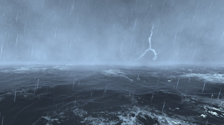
The Standing Office of the National Steering Committee for Natural Disaster Prevention and Control has issued a directive to the Steering Committees for Natural Disaster Prevention and Control and Search and Rescue in coastal provinces and cities from Quang Ninh to Kien Giang. This directive concerns the expected formation of a low-pressure area in the East Sea and the accompanying strong winds at sea.
According to the National Center for Hydro-Meteorological Forecasting, a low-pressure area is likely to form around June 22-23, 2024, in the northern and central areas of the East Sea.
This low-pressure area is forecast to strengthen into a tropical depression or storm. Between June 23-25, this weather system may directly impact the northern and central areas of the East Sea, including the waters of the Hoang Sa archipelago and the Gulf of Tonkin.
Due to the influence of the Southwest monsoon, the central and southern areas of the East Sea, including the waters west of the Truong Sa archipelago, are experiencing strong southwest winds at level 5, occasionally reaching level 6, with gusts up to levels 7-8. The sea conditions include rough seas with waves ranging from 1.5 to 2.5 meters high.
To prepare for these conditions, the Standing Office of the National Steering Committee for Natural Disaster Prevention and Control has outlined several key actions:
- Closely monitor weather warnings, forecasts, and developments related to strong winds, large waves, and the forming low-pressure area.
- Timely notify captains, vehicle owners, and vessels operating at sea to take preventive measures and adjust production plans to ensure the safety of people and property.
- Maintain communication channels to promptly handle any adverse situations.
- The Steering Committees for Natural Disaster Prevention and Control and Search and Rescue of provinces and cities are instructed to ready their forces and resources for potential rescue and relief operations.
- Ensure continuous duty and regular reporting to the Standing Office of the National Steering Committee for Natural Disaster Prevention and Control and the Office of the National Committee for Incident, Natural Disaster Response, and Search and Rescue.
The National Center for Hydro-Meteorological Forecasting reports that currently, the central and southern East Sea, including the Truong Sa archipelago and the waters from Phu Yen to Ca Mau, are experiencing showers and thunderstorms. The Phu Quy island station is reporting strong winds at level 6, while the Huyen Tran island station is experiencing gusts at level 8.
For today and tonight (June 20), the central and southern East Sea, including the Truong Sa archipelago, and the sea from Binh Dinh to Ca Mau, Ca Mau to Kien Giang, and the Gulf of Thailand are expected to see showers and strong thunderstorms. These storms may bring tornadoes and strong gusts at levels 6-7, with wave heights sometimes exceeding 2 meters.
The sea from Binh Thuan to Ca Mau and the western sea of the southern East Sea, including the western sea of the Truong Sa archipelago, are expected to continue experiencing strong southwest winds at level 5, occasionally reaching level 6, with gusts up to levels 7-8. Rough seas and waves ranging from 1.5 to 2.5 meters high are anticipated.
All vessels operating in the above areas are at high risk of being affected by tornadoes, strong winds and large waves.
Ly Dao
