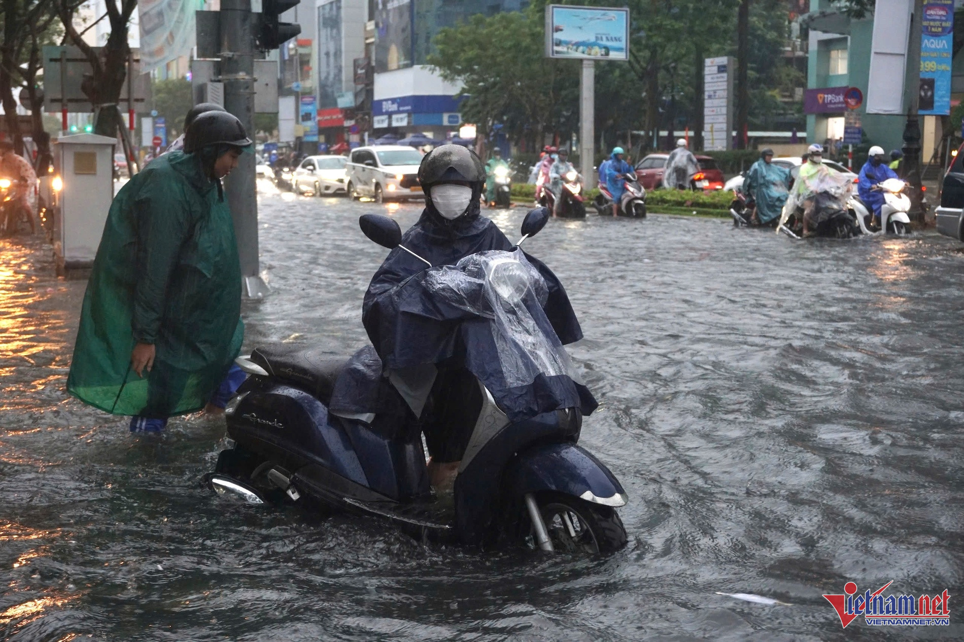
Typhoon Soulik entered the landmass of Quang Binh and Quang Tri around early afternoon, subsequently weakening to a tropical depression. Forecasts indicate that within the next few hours, the tropical depression will further deteriorate into a low-pressure area and gradually dissipate as it moves deeper inland.
Even in its weakened state, Typhoon Soulik continues to influence weather patterns, bringing intense rainfall to Northern and Central Vietnam. According to Mr. Mai Van Khiem, Director of the National Center for Hydro-Meteorological Forecasting, heavy rains accompanied by thunderstorms have been recorded from September 18 evening to September 19 afternoon.
Specific rainfall measurements include:
- Mai Hoa (Quang Binh): 222.8 mm
- Ta Long (Quang Tri): 363.6 mm
- Bach Ma (Thua Thien Hue): 321.3 mm
Meteorological agencies predict that from late evening tonight through tomorrow (September 20), the region from Ha Tinh to Quang Tri will continue to experience heavy to very heavy rains, with scattered thunderstorms and rainfall amounts ranging from 100-200 mm, and localized areas exceeding 350 mm. Rainfall is expected to diminish gradually starting the night of September 20.
Authorities have issued critical warnings for flash floods and landslides, categorizing the risk level as “purple,” which signifies the highest level of alert. A total of 73 communes in the Central and Central Highlands regions are under severe threat of flash floods, landslides, and soil erosion. Specifically, areas from Thanh Hoa to Quang Ngai and Kon Tum provinces are at heightened risk.
From the late evening and night of September 19 to the evening of September 20, Thanh Hoa and Nghe An provinces will continue to experience heavy to very heavy rains with scattered thunderstorms. Rainfall amounts in these regions are projected to range from 100-200 mm, with some areas receiving over 300 mm. From September 21 onward, rainfall is expected to decrease gradually.
Additionally, the northern and central coastal regions, including Thua Thien Hue, will face intermittent showers and thunderstorms, with localized heavy rains between 10-30 mm, and some areas exceeding 70 mm. The Central Highlands and Southern regions will also experience scattered showers and thunderstorms, with localized heavy rains ranging from 15-30 mm and up to 70 mm in certain areas. These weather conditions are concentrated in the late afternoon and evening, with potential for gusty winds and thunderstorms.
Meteorological authorities strongly advise residents in affected areas to prepare for intense rainfall, exceeding 100 mm within six hours, particularly in Ha Tinh and Quang Tri provinces. The high risk of flash floods and landslides necessitates immediate precautionary measures to safeguard lives and property.
Warnings and precautions for specific regions
- Thanh Hoa and Nghe An: Heavy to very heavy rains with localized extreme rainfall; risk of flash floods and landslides.
- Thua Thien Hue and Da Nang: Scattered showers and thunderstorms with heavy rainfall; increased risk of soil erosion and infrastructure damage.
- Central Highlands and Southern Regions: Scattered thunderstorms with moderate to heavy rainfall; potential for localized flooding and wind damage.
Officials have emphasized the importance of adhering to safety protocols and remaining vigilant during this period. With the high likelihood of sudden heavy downpours, the dangers of falling trees, damaged structures, and flying debris are significant concerns. Emergency services are on high alert to respond promptly to any incidents resulting from the severe weather conditions.
While Typhoon Soulik has diminished in strength, its residual effects continue to pose substantial risks to Northern and Central Vietnam. The combination of heavy rainfall, strong winds, and the potential for natural disasters like flash floods and landslides requires continuous monitoring and proactive measures to mitigate the impact on affected communities. Residents are urged to stay informed through official channels and follow all safety advisories to navigate through the ongoing weather challenges effectively.
Bao Anh