According to the National Center for Hydro-Meteorological Forecasting, analysis of current weather systems and forecast models indicates that from now until the end of August 2025, the East Sea may see one to two storms or tropical depressions.
On land in the northern region, the Central Highlands, and the south, thunderstorms and localized heavy rain are expected to continue in the late afternoons and evenings.
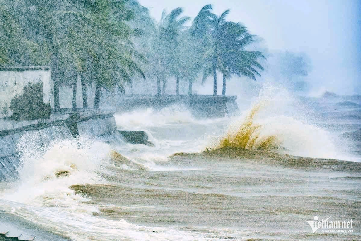
The center stressed that over the next 10 days (August 14-24, 2025), several severe weather patterns will require close monitoring.
From August 14 to 15, a tropical convergence zone will form over the central East Sea. Along this zone, a low-pressure area may develop (and potentially intensify into a tropical depression) with a 60-70% probability.
In coastal waters from Khanh Hoa to Ca Mau, and across the central and southern East Sea (including the western Spratly Islands), southwest winds will reach level 6 with gusts up to levels 7-8, waves 2-3 meters high, causing rough seas. From August 16, strong winds and thunderstorms could spread to the Gulf of Tonkin.
Coastal waters from Khanh Hoa to Ca Mau, Ca Mau to An Giang, the Gulf of Thailand, and southern East Sea areas (including the Spratly Islands) will face heavy showers and strong thunderstorms, with occasional wave heights exceeding 3 meters.
Due to the tropical convergence zone linked to the low-pressure system expected to form over the East Sea, between August 15 and 19, northern provinces (mainly in the northeast), localities from Thanh Hoa to Hue, the Central Highlands, and the south may see moderate to heavy widespread rain. These rains could bring a high risk of tornadoes, lightning, flash floods, landslides, and localized flooding.
Authorities urge residents to follow official weather updates and warnings to prepare and ensure safety for themselves and their families.
Bao Anh