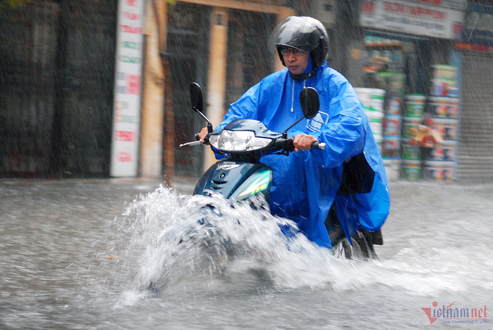
Agencies report that of 735 major routes in HCM City, 15 routes may flood after heavy rains, 24 routes may flood during the rains, and nine may flood due to high tide.
Water is spread on the roads of Le Loi, Le Lai, Cong Quynh, Bui Vien, Co Bac, Tran Hung Dao, Dien Bien Phu, Dinh Bo Linh and Ung Van Khiem, and in suburban roads of Hiep Binh, Pham Van Dong, Le Thi Hoa, To Ngoc Van and Nguyen Van Huong.
Old flood points have not been settled while new flood points have appeared. Go Vap, the district located in the highest area of the city, also suffers from flooding on Nguyen Van Khoi, Pham Van Chieu, Le Van Tho and Le Duc Tho routes.
The city is building a smart city and acts as the ‘economic locomotive’ of the entire economy. Such a city should have a good water drainage system protecting it from floods.
Tens of trillions of dong have been spent to combat floods, but the investment still has not brought desired effects. The HCM City Construction Department has said the city needs VND101 trillion more for 120 flood easing and wastewater treatment projects in 2021-2025.
Numerous seminars and many meetings discussing anti-flood solutions and water drainage improvement plans have been suggested, but flooding is becoming increasingly serious.
To date, no agency and individual has committed to help stop flooding in the city.
HCM City still suffers from floods though it has a favorable natural terrain with rivers and canals which allow water to drain.
There was a natural idle land bank along the Sai Gon River in the past with green plants, where Saigonese often went on weekends. At that time, the two sides of the river attracted water, so floods never occurred though it rained heavily. It served as the natural water drainage for the area consisting of Ung Van Khiem, Dien Bien Phu, Vo Duy Ninh, Ngo Tat To and Ton Duc Thang roads. The routes, which linked with inner streets, helped the drainage of the areas.
However, since real estate projects and multi-story buildings have been built on the land bank along the Sai Gon River and dykes block the riverbanks, the flooding has become serious on the two sides and neighboring areas.
Go Vap, located in a high area of the city, with favorable natural conditions for the flood drainage, can become seriously flooded. The reason is that the area is now the place for residential quarters with houses close together, and townhouses and shops on the two sides of Nguyen Van Khoi, Pham Van Chieu, Le Van Tho and Le Duc Tho streets.
Meanwhile, management agencies blame the floods on difficulties in site clearance, which cause delays to anti-flooding projects, on the lack of budget for water reservoir development and on the execution of many infrastructure projects which affect drainage.
Rapid urbanization
It is true that poor cooperation in project execution is one reason behind the slow implementation of the VND10 trillion anti-flooding project, the Hang Bang canal renovation, the second phase of the city’s environmental sanitation project, and the building of a sewer network.
Meanwhile, urban planning is not well controlled. The transport network has been arranged in a way to facilitate the subdividing of land plots and real estate speculation.
Many water drainage canals in Go Vap, Binh Thanh and Tan Phu districts have filled up recently. Many urban areas, residential quarters and multi-storey buildings have arisen on places where there were canals and ponds, thus eliminating the canals’ drainage capability.
A Japanese architect said HCM City is naturally endowed with rivers and canals, and beautiful landscapes. The heritage needs to be protected to both beautify the city and maintain comfortable lives for residents.
Tran Chung