According to the National Centre for Hydro-Meteorological Forecasting, the interaction between the incoming cold air and existing warm conditions is creating an unstable atmosphere, raising the risk of severe weather in several regions.
Storm risks rise across the north
From the night of March 31 into the morning of April 1, much of northern Vietnam - excluding Dien Bien and Lai Chau - is expected to see scattered showers and thunderstorms, with rainfall typically ranging from 10-20mm and isolated areas exceeding 40mm.
More concerning, however, are the accompanying hazards.
Meteorologists warn of possible lightning, hail, whirlwinds and strong gusts during storms. In mountainous areas, intense downpours may trigger flash floods on small rivers and streams, as well as landslides on steep terrain. Low-lying areas also face a risk of temporary flooding.
At sea, conditions in the Gulf of Tonkin are also deteriorating, with northeast winds strengthening to level 4-5 and the potential for waterspouts and sudden gusts during thunderstorms.
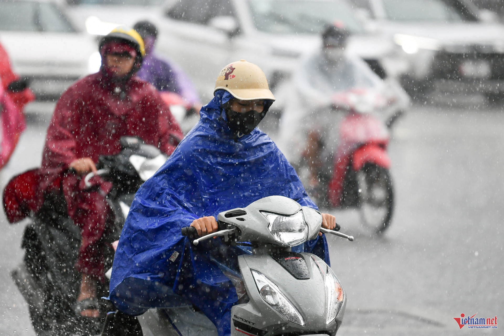
Hanoi turns cooler after sudden shift
In Hanoi, the change is already noticeable.
The capital is expected to experience cloudy skies with scattered showers and thunderstorms in the morning, followed by partial clearing later in the day. Temperatures will drop to a more comfortable range, with lows of 23-25°C and highs of 27-29°C - about 4-5 degrees lower than the previous day.
However, this relief may be short-lived. Forecasts indicate that from April 2-3, rain will subside and temperatures will climb again, reaching 31-33°C.
Central regions see mixed conditions
From Thanh Hoa to Hue, weather conditions vary.
Northern parts of the region will experience cloud cover with occasional showers, while southern areas remain sunny, with temperatures climbing to 31-34°C. Across the wider central region, thunderstorms may still occur in the late afternoon and evening.
Along the south-central coast and in the Central Highlands, the pattern is similar - sunny days, with isolated thunderstorms later, and temperatures in many areas reaching above 35°C.
Southern heat persists
In contrast to the cooling north, southern Vietnam continues to endure prolonged heat.
The southeastern region is forecast to see temperatures of 35-36°C, with some locations exceeding this level. Low humidity, dropping to around 45-50%, is expected to intensify the discomfort.
The heatwave in the south is likely to persist for several more days, highlighting the stark regional contrast in weather conditions across the country.
A volatile transition period
Meteorologists describe the current pattern as a “conflict” between cold and warm air masses - a typical but potentially dangerous transitional phase.
Such conditions often produce sudden and severe weather, making it important for residents, particularly in northern mountainous areas, to remain alert to rapidly changing conditions.
As Vietnam steps into April, the weather is not settling into a single pattern, but rather shifting sharply between extremes - from heat to storms, and back again within just days.
Bao Anh