 Vietnamnet.vn

 Podcast



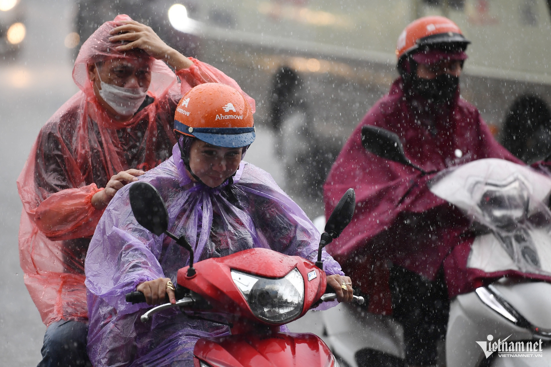
According to the Northern Regional Hydrometeorological Center, Hanoi's average temperature this month is forecast to be 0.5-1°C above the long-term average, while monthly rainfall is expected to exceed normal levels by 20-50mm.
Forecasters expect one or two heatwaves during August, including periods of intense heat, mainly in the middle and latter part of the month.
The capital is also likely to experience one or two widespread episodes of moderate to heavy rainfall.
Meteorologists warned that thunderstorms, lightning, hail, localized downpours and damaging wind gusts could occur frequently, particularly when low-pressure troughs combine with upper-level wind convergence.
Although one or two tropical cyclones or tropical depressions could develop over the East Sea during August, forecasters believe the likelihood of a direct impact on Hanoi remains low.
Nevertheless, localized heavy rain could trigger urban flooding in low-lying districts, while mountainous areas such as Ba Vi and Soc Son face an elevated risk of landslides.
Hotter and drier conditions forecast for southern Vietnam
In southern Vietnam, meteorologists expect El Niño to continue strengthening after reaching one of its strongest levels in decades. National climate forecasts indicate a high probability that the event will intensify further through the second half of the year.
According to Le Manh Dung, a forecaster at the Southern Regional Hydrometeorological Center, average temperatures across southern Vietnam this month are expected to be 0.6-1.2°C above normal.
The largest temperature anomalies are forecast in Lam Dong, Dong Nai and Dong Thap provinces.
In Ho Chi Minh City, temperatures in the city center and northern districts are expected to remain 0.7-1°C above the long-term average.
Rainfall across most southern provinces is forecast to remain below normal.
Dong Nai, An Giang and Can Tho could record rainfall deficits of 10-20%, equivalent to roughly 20-50mm below average.
Although total rainfall will be lower, forecasters expect precipitation to become more concentrated after August 10, with between 15 and 23 rainy days during the month.
In Ho Chi Minh City, rainfall is expected to remain below average in central and northern districts, while southeastern parts of the city are likely to receive near-normal precipitation.
Meteorologists cautioned that reduced rainfall does not eliminate the risk of severe weather.
Localized heavy downpours, thunderstorms and flash flooding could still occur despite the overall rainfall deficit.
From the middle to the end of August, the southwest monsoon is also expected to strengthen over southern waters, prompting warnings for vessels operating at sea.
Authorities are advising residents in southern Vietnam to store sufficient fresh water for household use and agricultural production.
Typhoon Dolphin weakens but rough seas expected
Meanwhile, Typhoon Dolphin has weakened to the equivalent of Category 15 on Vietnam's wind scale while continuing its west-northwest track toward Okinawa, Japan.
As of 7 a.m. on August 2, the storm's center was located east-southeast of Okinawa and was forecast to gradually weaken over the coming days.
Meteorologists expect Dolphin to approach Okinawa around August 6-7 before continuing toward eastern China.
Although the storm is not forecast to affect Vietnam directly, its circulation is expected to strengthen southwest monsoon winds over the East Sea.
Between August 6 and 7, winds across large parts of the northern, central and southern East Sea, including waters around the Hoang Sa (Paracel) and Truong Sa (Spratly) archipelagos, could reach Force 6-7, with waves of 2-4 meters, creating hazardous conditions for shipping and fishing operations.
Bao Anh
.svg)
