 Vietnamnet.vn

 Podcast


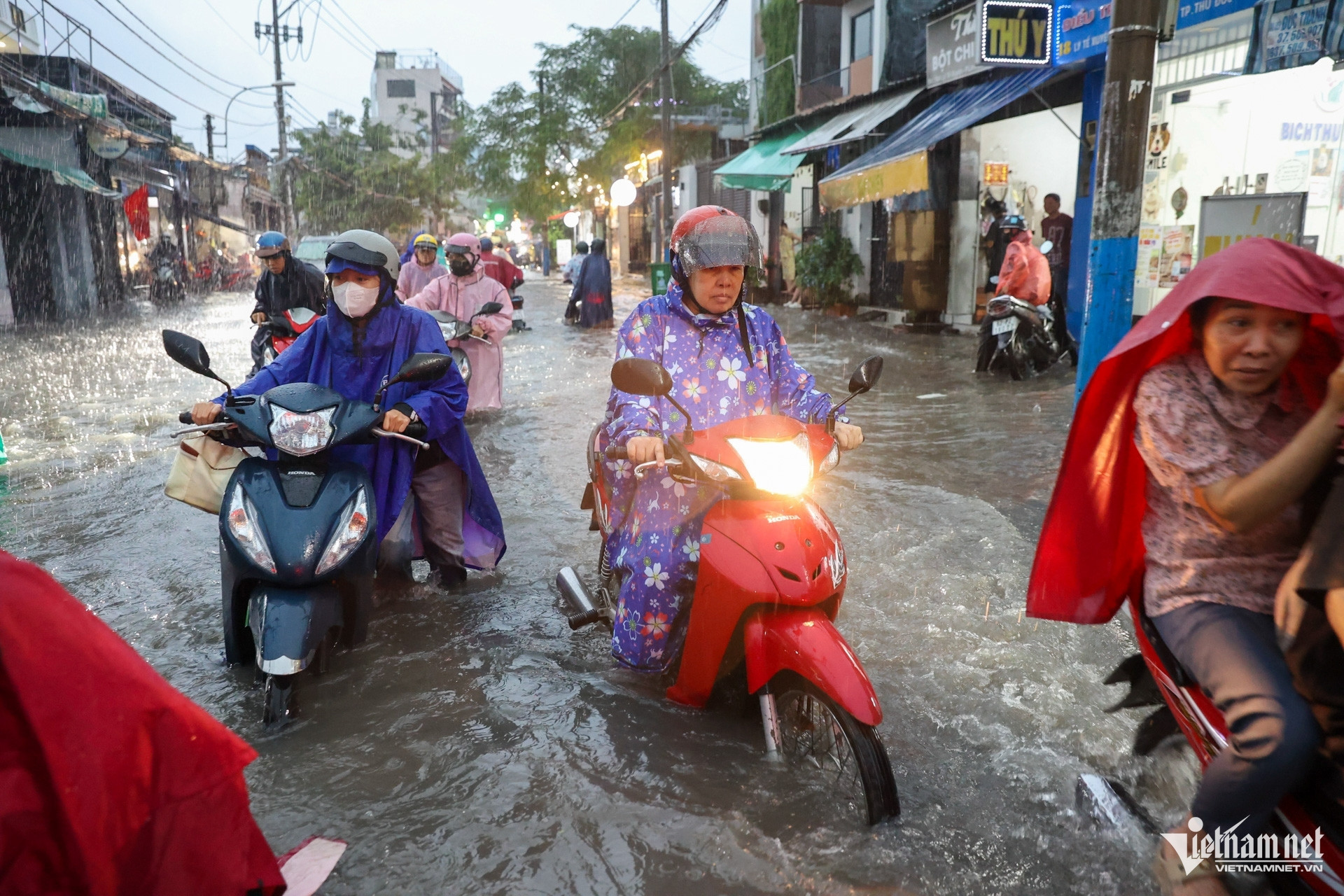
In 2026-2027, 54 projects with a combined investment of more than VND69.3 trillion are expected to be carried out, targeting 33 flood-prone locations.
However, after each project is completed, key questions often remain whether flooding has decreased in the areas it is designed to protect, how much improvement has been achieved, and whether the results justify the investment.
Do Phu Tran Tinh, acting director of the Institute for Policy Development and Leadership Capacity at Vietnam National University, HCMC, said the success of flood-control policies should not be measured solely by disbursement rates or the length of drainage pipes installed. The real benchmarks should be reductions in economic losses and improvements in residents' quality of life.
Prolonged flooding forced businesses to close, damage goods, paralyze traffic and disrupt transportation and deliveries. These losses cannot be fully captured by the number of flooded locations or water depths recorded at a particular time.
The city therefore needs to develop flood-risk maps linked to economic damage to establish investment priorities. Densely populated areas, essential transport routes and communities with vulnerable households should be assessed alongside areas with high economic value.
Tinh proposed evaluating projects based on criteria such as avoidable losses, role in transport and logistics connectivity, size of the affected population and cost-effectiveness. This approach would help prevent projects from being selected merely because they are easy to implement or because of the value of nearby land.
A project that is technically complete does not necessarily mean its flood-control objectives have been achieved. The city should publicly disclose indicators measured before and after investment, and clearly establish the accountability of agencies responsible for managing and operating infrastructure when it fails to deliver the expected results, the expert said.
Manage flooding by catchment areas
Heavy rain coinciding with high tides in early October showed that urban flooding results from several factors acting together. HCMC's drainage system was designed to handle rainfall of 85.3mm over three hours and a tidal level of 1.32 meters, while some recent rainstorms have exceeded these thresholds.
Widespread paving and other forms of urbanization, land subsidence, undersized drains and tidal backflow through outfalls further reduce drainage capacity.
Under the city's flood-control plan, the approach will shift from treating individual flooded locations to managing entire drainage catchments, linking drainage and irrigation planning with urban development. This is an important change because water does not stop at ward or commune boundaries; measures taken at one location can affect areas upstream or downstream.
Vo Kim Cuong, former deputy chief architect of HCMC, said risk management and adaptation to flooding are necessary approaches in modern urban planning.
However, he cautioned that “living with floods” should not mean accepting continued losses for residents. Setting aside public spaces to temporarily store water when rainfall exceeds design thresholds must go hand in hand with reducing flooding at locations that affect residents and infrastructure.
Flood barriers, pumping stations and drainage systems can only work effectively when operated in coordination, the expert said. If local drains are blocked, lack sufficient gradients or are not connected to main drainage routes, water can still accumulate. In addition to building new infrastructure, the city needs to identify bottlenecks in the existing system, from narrowed drainage pipes to outfalls where rising tides impede water flow.
Another approach is to digitize rainfall, tidal, water-level and operational data for drains, gates and pumping stations. Under the city's plan, real-time data, flood-reporting software and decision-support tools will help authorities monitor conditions, forecast rainfall-tide-flood scenarios and select appropriate operating measures.
HCMC also plans to study the use of AI to analyze data, simulate flood risks and support operational decisions. However, technology will only be useful if input data are comprehensive, regularly updated and shared across agencies.
Make room for water retention, ensure transparent investment
Alongside drainage infrastructure and tidal control, HCMC needs to increase its capacity to retain water within the city, experts said.
Vu Thi Hong Nhung of RMIT University Vietnam proposed adopting the “sponge city” model, which focuses on slowing, storing, absorbing and releasing water rather than simply trying to drain it as quickly as possible.
Under this approach, parks, schoolyards, public squares and other public spaces could be designed to temporarily store water during heavy rain, then drain it once the system has sufficient capacity.
Another priority is protecting canals and waterways and preventing the loss of natural water-storage areas. Tinh believes that if canals continue to be filled for short-term land exploitation, future anti-flooding costs could become a shared burden.
Tuan Kiet

