 Vietnamnet.vn

 Podcast



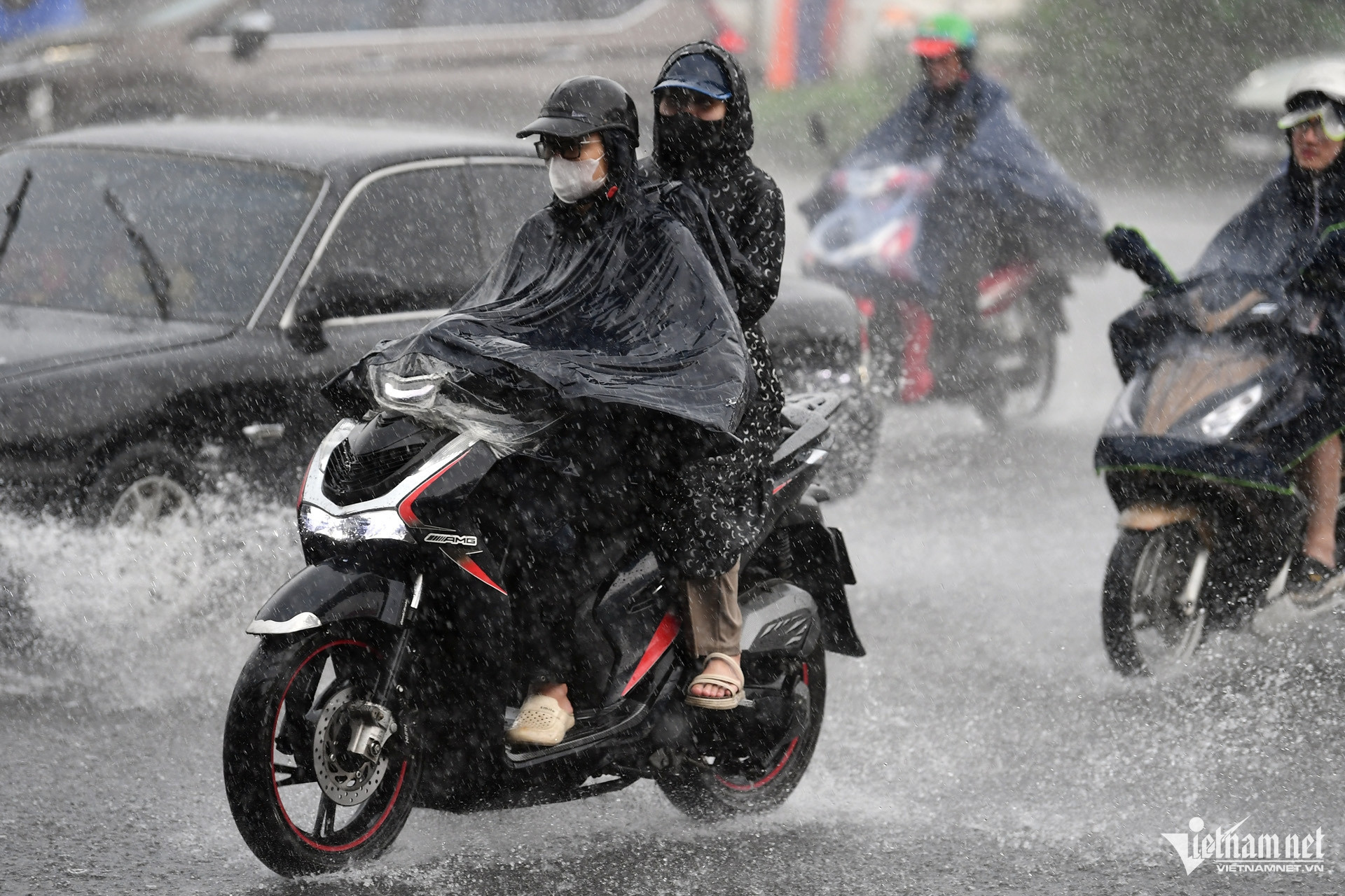
A tropical depression is moving slowly across the northern East Sea and is forecast to strengthen as it approaches Hainan Island, China, before heading toward the eastern Gulf of Tonkin. At the same time, an active tropical convergence zone is bringing widespread heavy rain to northern and north-central Vietnam.
According to the National Center for Hydro-Meteorological Forecasting, at 7pm on August 19, the center of the tropical depression was over waters northwest of the northern East Sea, about 180km east of Hainan Island.
Maximum sustained winds near the center were at level 6, equivalent to 39-49km/h, with gusts reaching level 8.
The tropical depression was moving west-northwest at 5-10km/h, a relatively slow pace that it had maintained over the previous several hours.
Over the next 24 hours, the system is forecast to move west at 5-10km/h and could strengthen further.
By 7pm on August 20, its center is expected to be over northern Hainan Island, with winds strengthening to levels 6-7 and gusts reaching level 9.
During the following 24 hours, the tropical depression is forecast to turn west-northwest and slow further to just 3-5km/h.
By 7pm on August 21, its center is expected to reach waters in the eastern Gulf of Tonkin, while maintaining winds at levels 6-7 and gusts of level 9.
Over the subsequent 48-72 hours, the system is forecast to move northwest at around 3-5km/h.
Rough seas and dangerous conditions for vessels
The tropical depression is expected to generate strong winds of levels 6-7, with gusts reaching level 9, over waters northwest of the northern East Sea.
Waves are forecast to reach 2-3.5 meters, with rough seas across affected areas.
Authorities warned that vessels operating within dangerous zones could be exposed to thunderstorms, tornadoes, strong winds and high waves.
The tropical depression is developing as northern and north-central Vietnam are already experiencing widespread heavy rain caused by a tropical convergence zone combined with strong upper-level wind convergence.
On the evening of August 19, Nguyen Thi Hue, a forecaster at the National Center for Hydro-Meteorological Forecasting, said the convergence zone was positioned across the Red River Delta and north-central Vietnam, while wind convergence extending to an altitude of about 5,000 meters remained strong.
These conditions are expected to continue driving widespread heavy rain across northern and central parts of the country.
From the night of August 19 through the morning of August 20, the heaviest rain is forecast to concentrate over the Red River Delta and southern Phu Tho Province, with rainfall generally ranging from 30-60mm.
Some locations could receive more than 150mm.
By the night of August 20 and the morning of August 21, the area of heavy rain across the North is expected to gradually narrow, with the most significant rainfall becoming concentrated mainly in coastal provinces.
More than 200mm of rain possible in some areas
Forecasters said the heaviest rainfall nationwide during this spell is expected in the area stretching from Thanh Hoa to northern Quang Tri.
From the evening of August 19 through the end of August 21, rainfall across this area is forecast at 60-120mm, with localized totals exceeding 200mm.
Particularly intense downpours are also possible, with some locations receiving more than 100mm within just three hours.
Such concentrated rainfall could quickly overwhelm drainage systems and trigger serious flooding in low-lying areas, urban centers and industrial zones.
Mountainous areas face a very high risk of flash floods along small rivers and streams, as well as landslides and ground subsidence on steep slopes.
Thunderstorms could also produce tornadoes, lightning and strong wind gusts.
The widespread heavy rain across northern and north-central Vietnam is not expected to begin easing until the night of August 21.
With the tropical depression simultaneously approaching the Gulf of Tonkin, authorities are closely monitoring both the system's track and the continuing rainfall across northern Vietnam.
Bao Anh
.svg)
