 Vietnamnet.vn

 Podcast



According to a preliminary report from the Hanoi Sewerage and Drainage Company, widespread heavy rain hit the capital overnight on September 16 and into the early hours of September 17, influenced by southeasterly wind convergence extending from the surface to an altitude of 5,000 meters.
Rainfall generally ranged from 80-160mm across the city.
Some areas recorded exceptionally heavy totals, including 199mm at the Dong Bong 1 station in Tu Liem, 188mm in Hai Ba Trung and 177.3mm in Tay Mo. Stations in the Cau Giay area recorded between 166mm and 175.4mm.
Other high totals included 152.5mm in Thanh Liet, 163.8mm in My Duc, 148.1mm in Phu Xuyen, 146.4mm in Ngoc Hoi, 137.7mm in Gia Lam, 135.7mm in Hoang Mai and 131.9mm in Nghia Do.
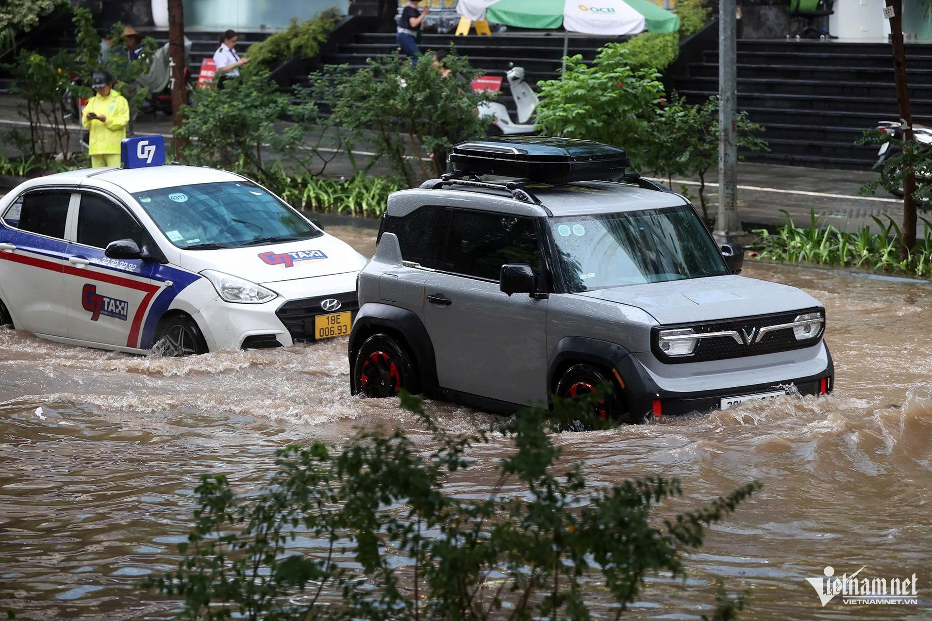
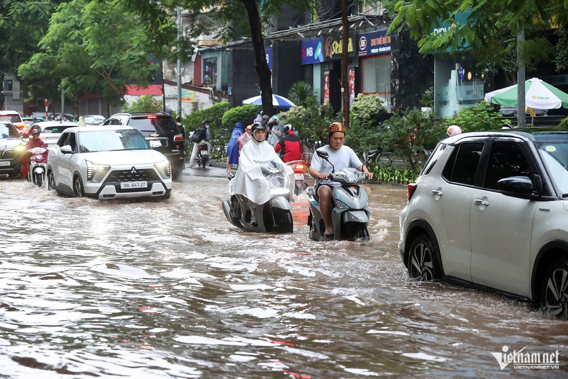
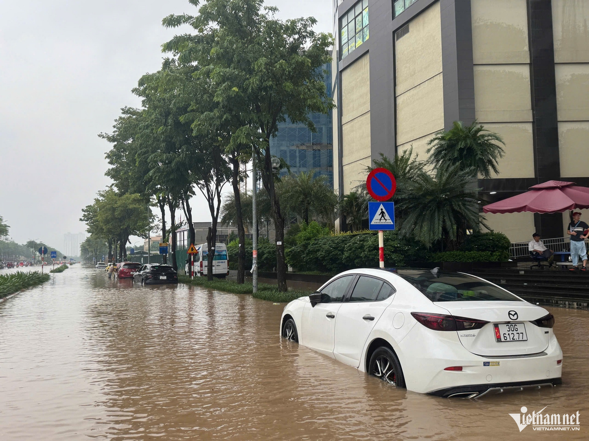
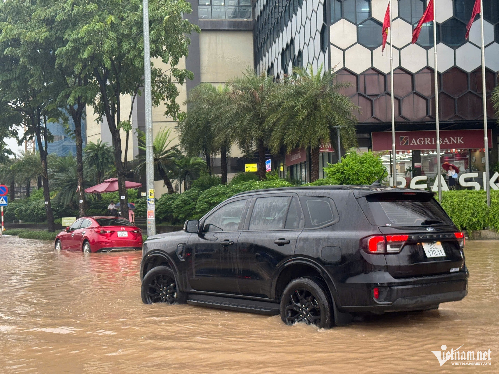
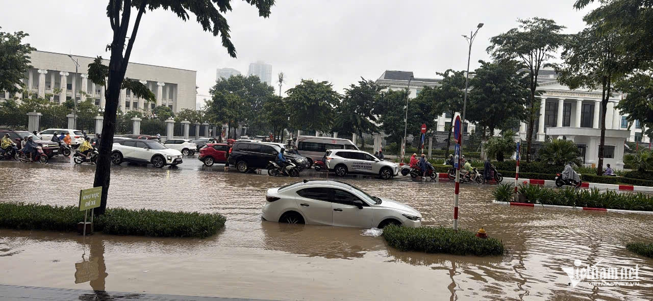
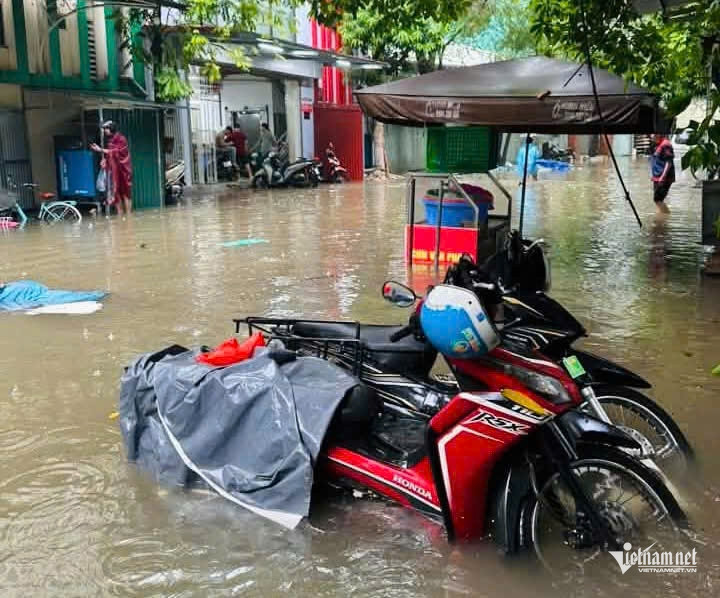
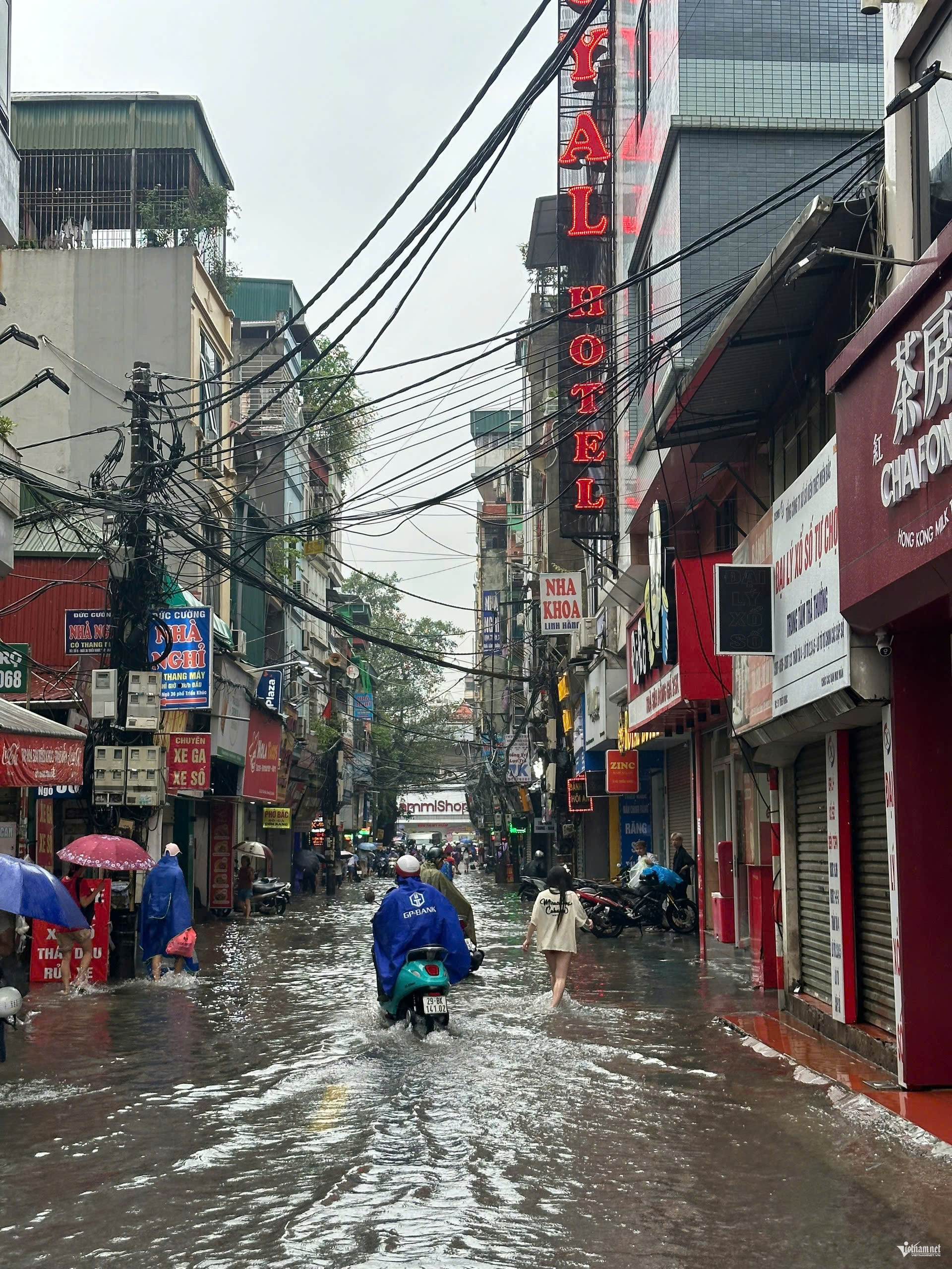
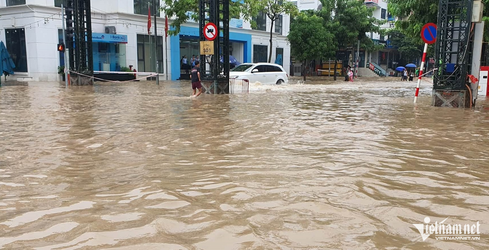
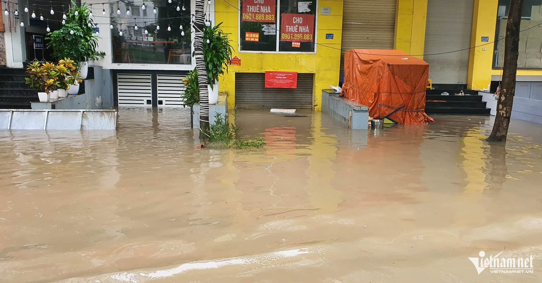
The downpour caused flooding and waterlogging at numerous locations across Hanoi.
By 6 a.m. on September 17, flooding had been reported on many streets, including Duong Dinh Nghe-Pham Hung, Hoa Bang, the intersection at 246 My Dinh Street, Le Duc Tho around My Dinh National Stadium and Tan My Street.
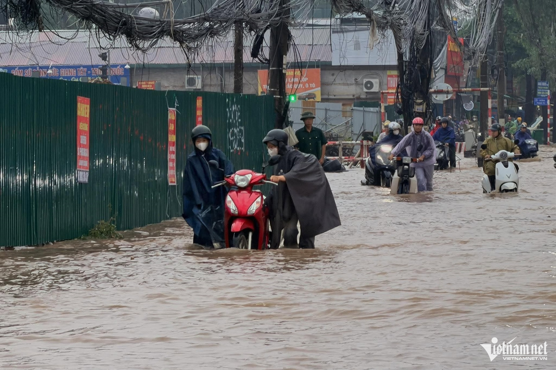
Photo: Dinh Hieu
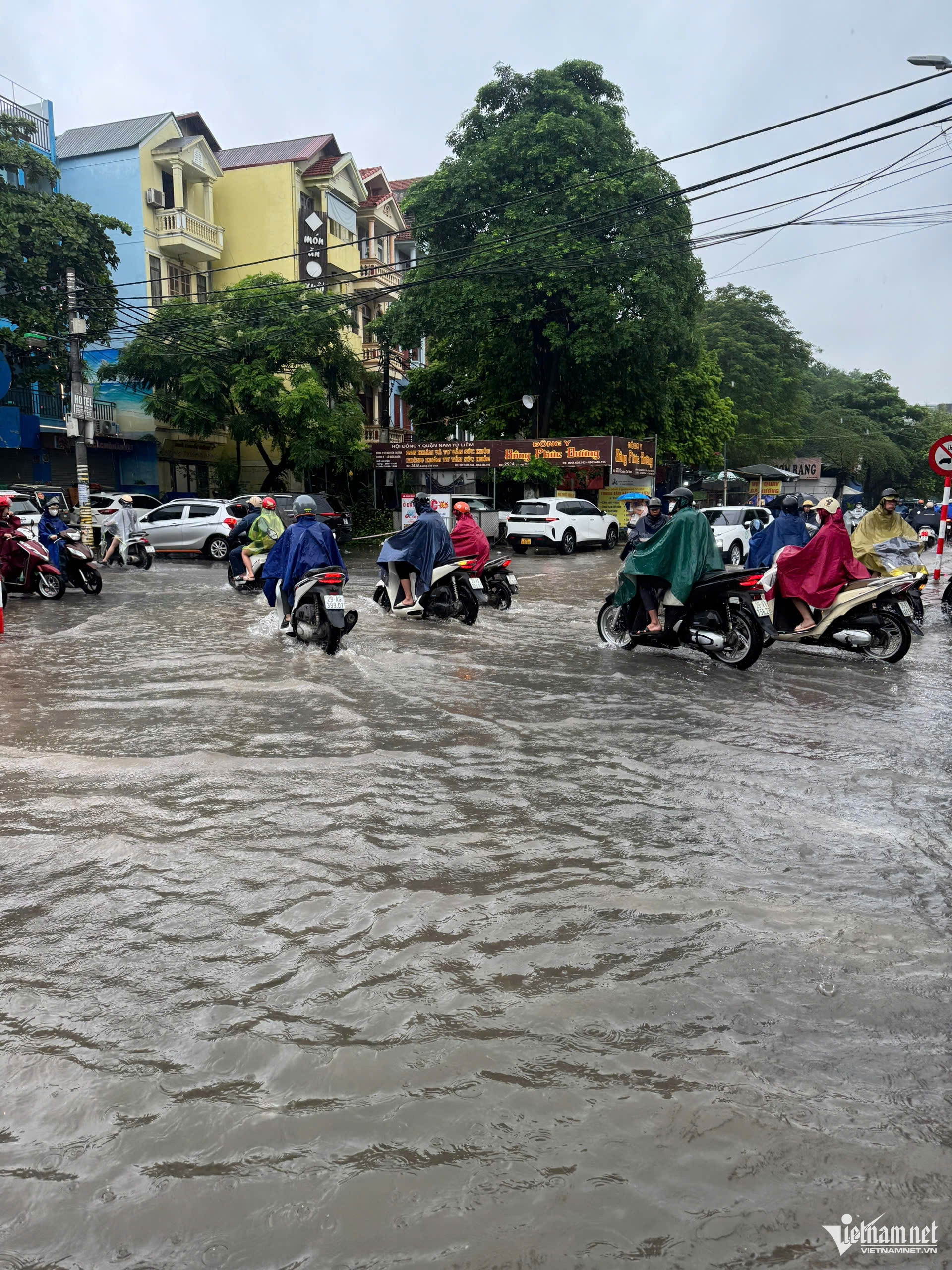
Flooding was also reported on Phan Van Truong, Tran Binh, Trieu Khuc, Vo Chi Cong, Nguyen Hoang-Pham Hung, To Huu, Luong The Vinh, Chau Van Liem, Thanh Cong, Thai Ha, Nguyen Van Troi, Huynh Thuc Khang, Giang Van Minh and Alley 100 on Doi Can Street.
Pedestrian underpasses No. 4, 5 and 6 at Km9+656 were also among the locations affected by standing water.
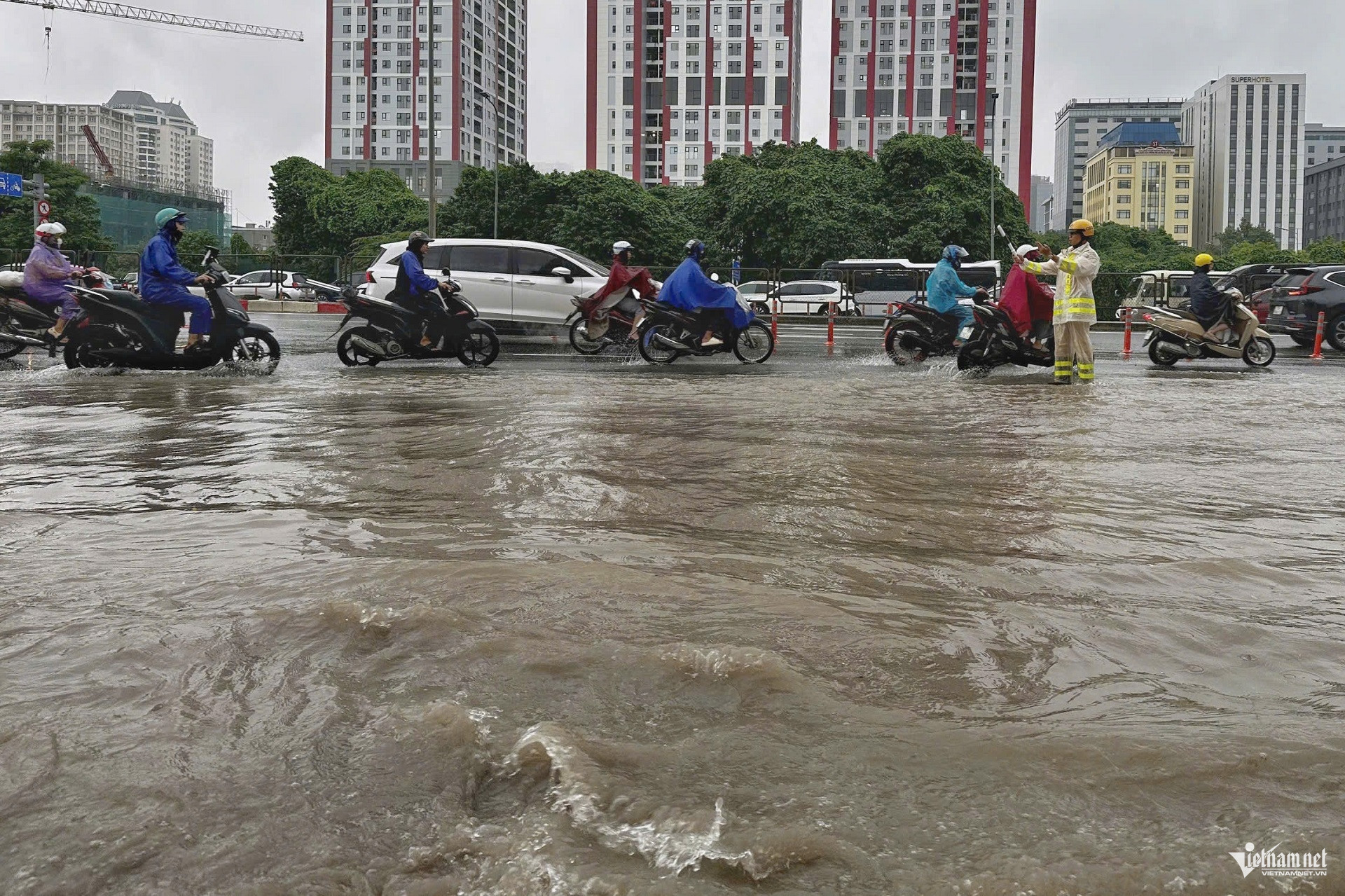
VietNamNet reporters found deep flooding on Road 70 near the Xa La urban area in Ha Dong Ward on the morning of September 17 after rain had continued throughout the night.
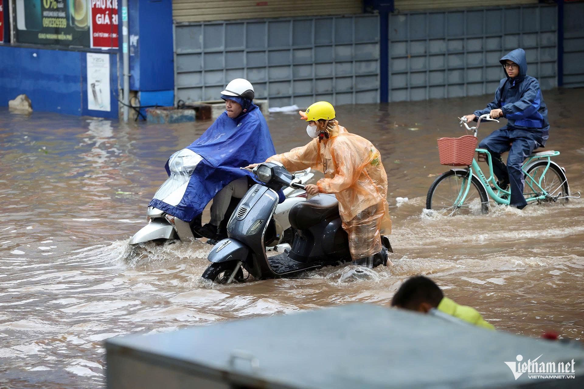
Water covered much of the road, making travel difficult. Motorcyclists slowed down as they tried to navigate deeper sections.
At times, vehicles moved at very low speeds to avoid stalling or other safety risks
The flooding on Road 70 illustrated the pressure placed on Hanoi’s drainage system after a night in which rainfall generally reached 80-160mm, exceeded 150mm in many locations and approached 200mm at one monitoring station.
Hoa Bang Street was flooded to wheel height, with water reaching around 60-70cm at the deepest point.
Thai Ha Street near Alley 133 was submerged under about 40-50cm of water. Many motorcyclists had to dismount and push their vehicles through the flooded section.
Workers from Drainage Enterprise No. 4 installed pumps to remove the water as quickly as possible and placed warning signs in the area.
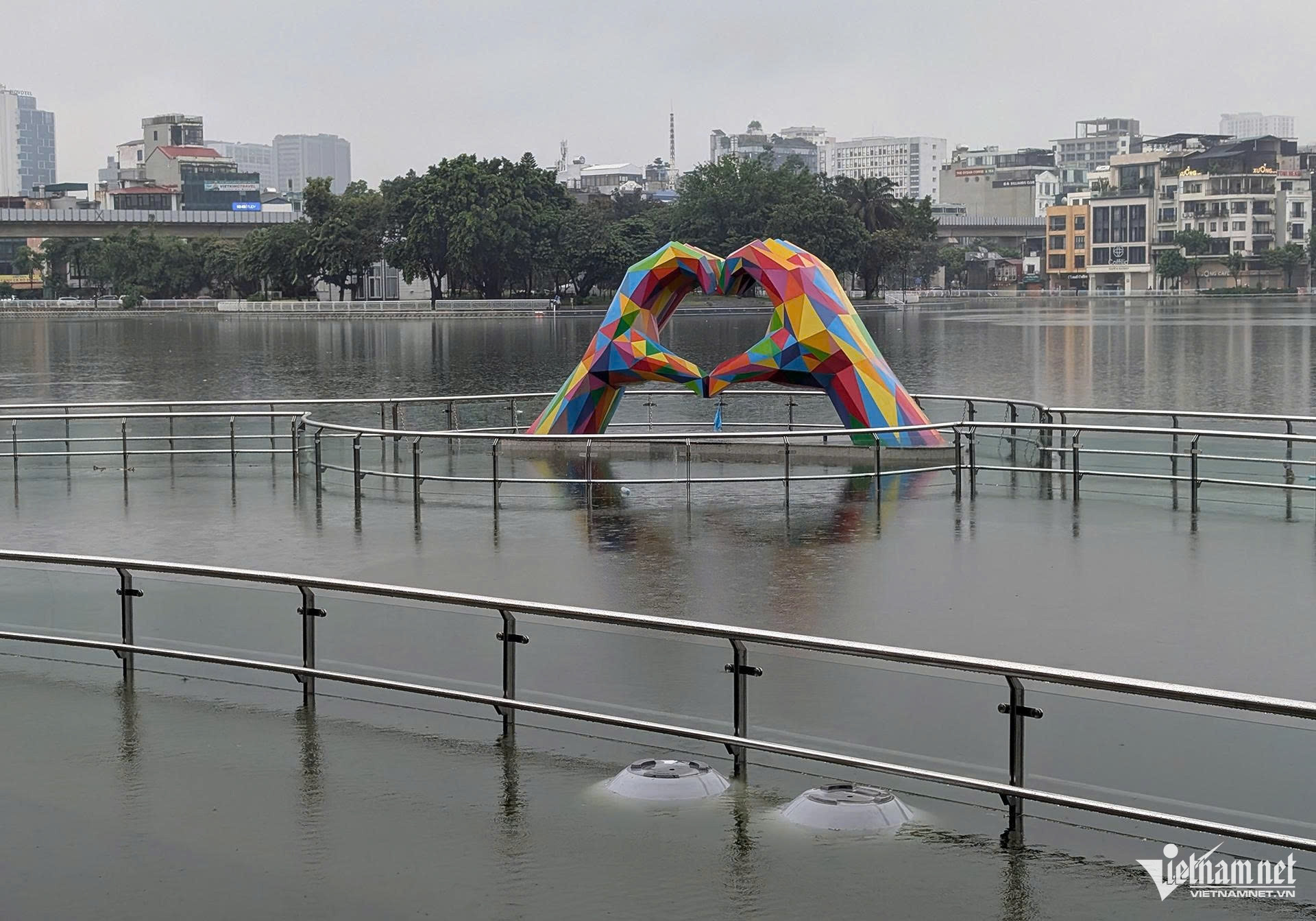
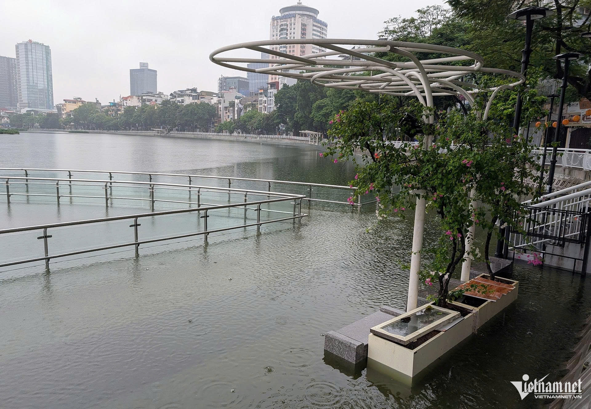
The entire pedestrian path around Dong Da Lake was also submerged.
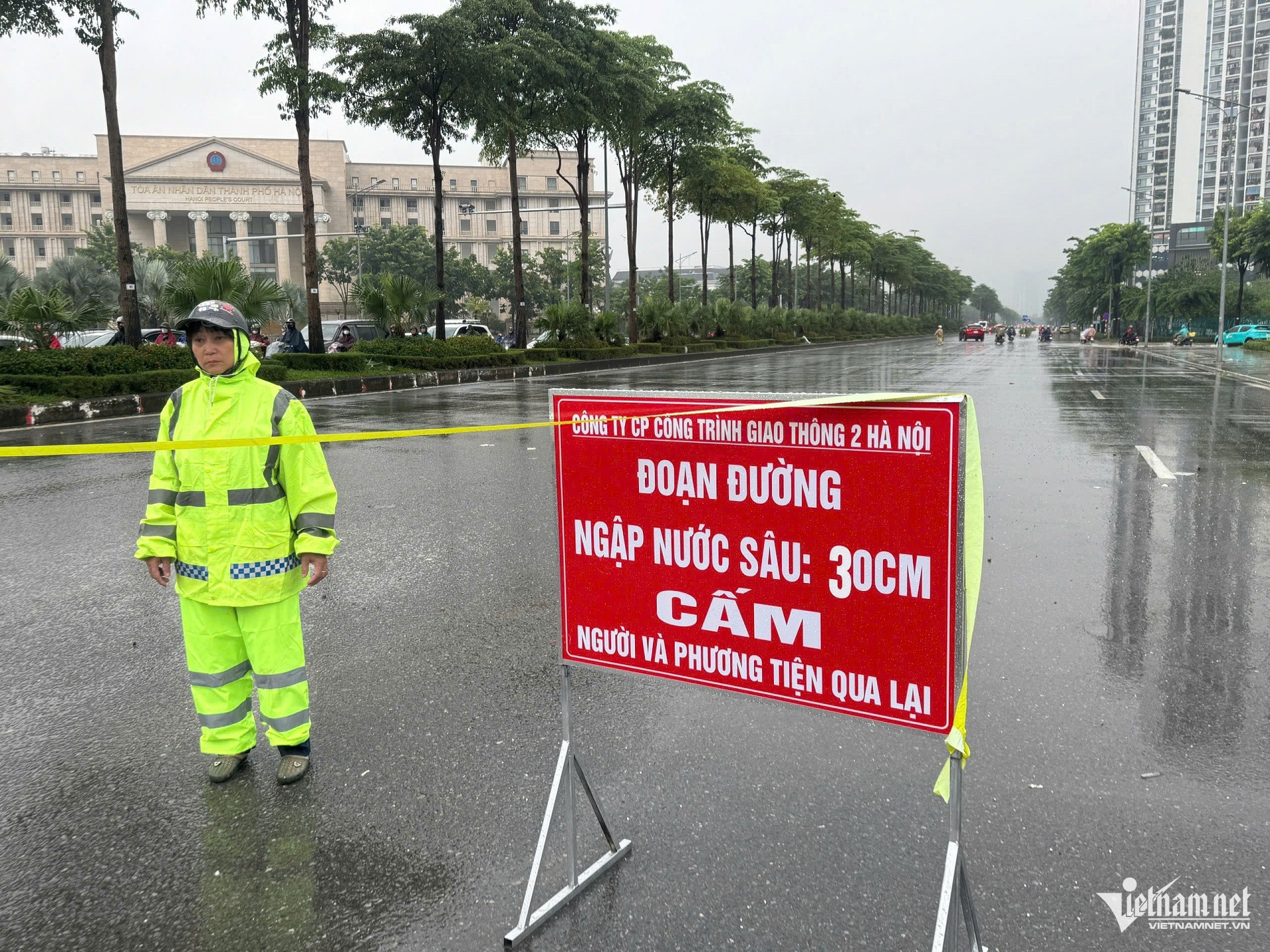
At the intersection of Pham Tu and Nguyen Xien streets, Hanoi drainage workers erected warning signs and barriers.
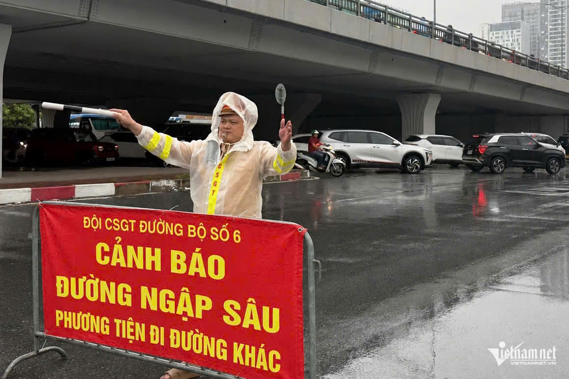
Pham Hung Street near the Mai Dich overpass in Tu Liem Ward was deeply flooded, prompting Traffic Police Team No. 6 of the Hanoi Public Security Department to place warnings and redirect traffic.
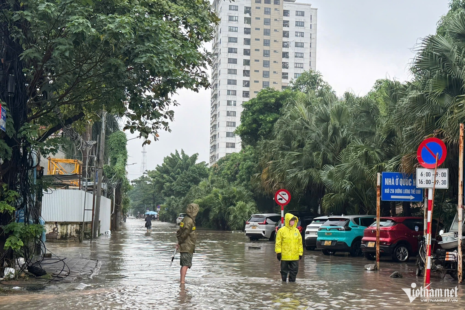
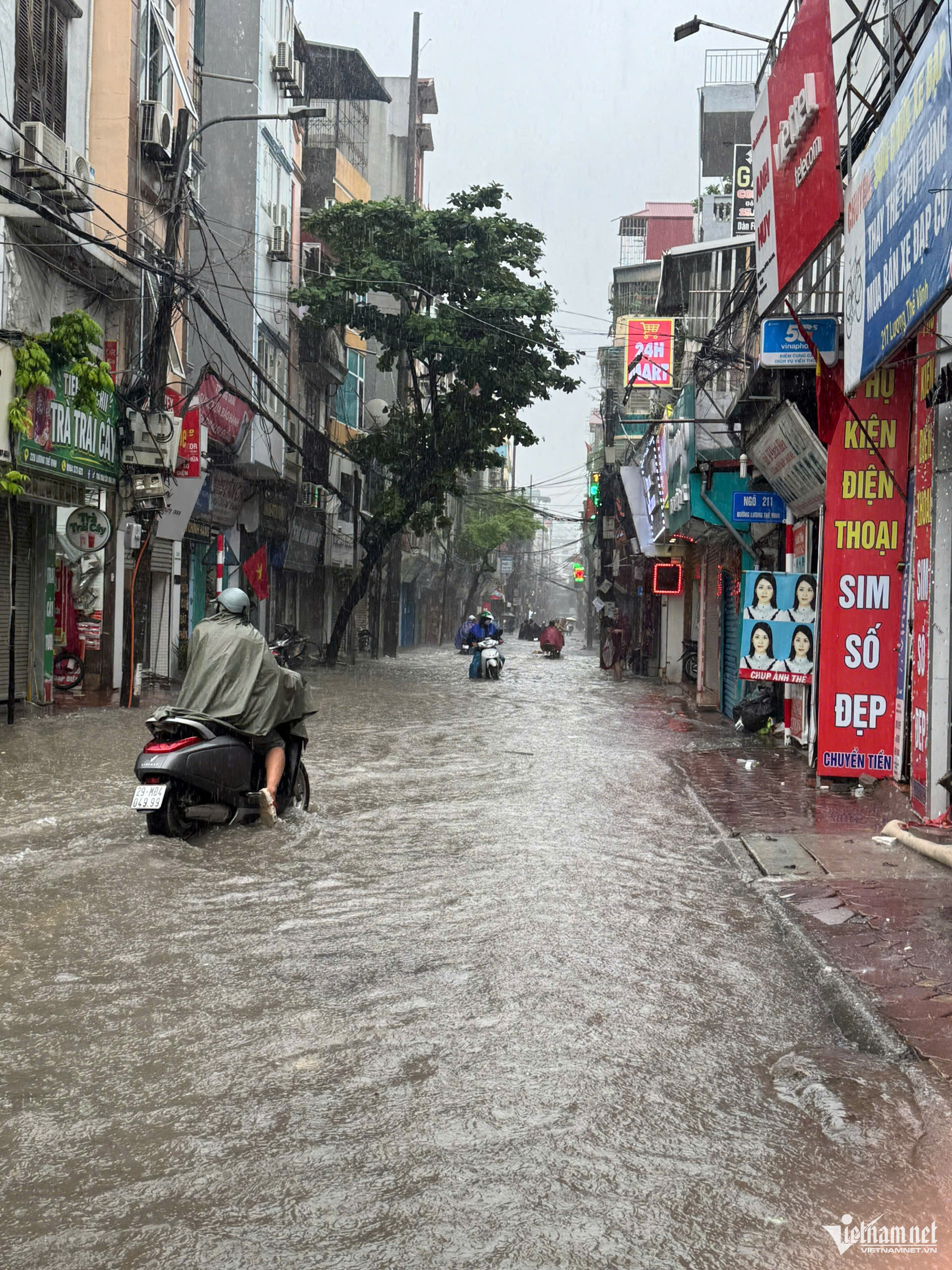
Luong The Vinh Street was also deeply inundated. Authorities were stationed at some sections and advised residents against attempting to pass through.
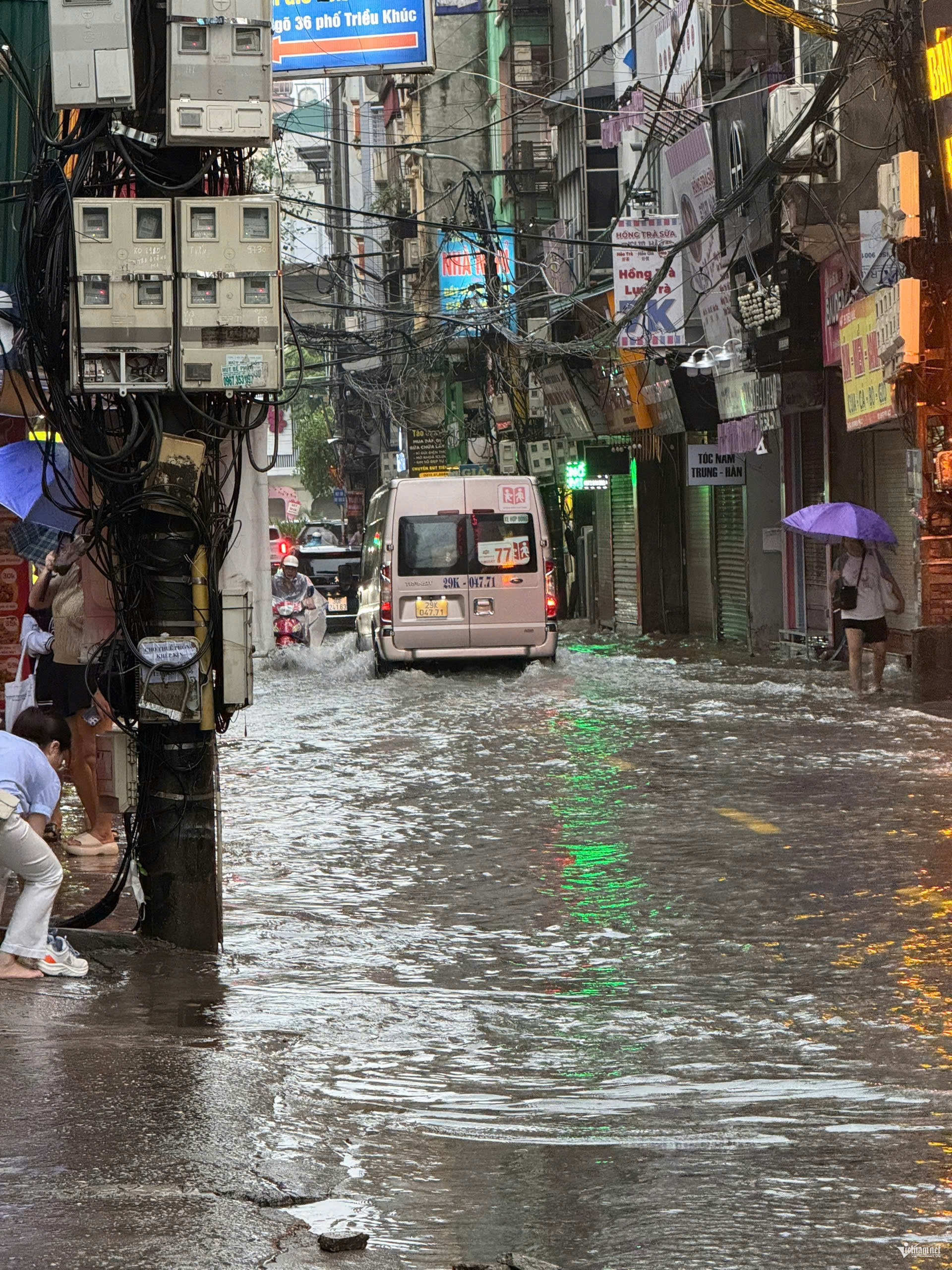
Floodwaters also made travel difficult in the Trieu Khuc area.
On Hoang Tung Street in An Khanh Commune, water rose to the level of entrances to residential basements.
Pumping stations operating across Hanoi
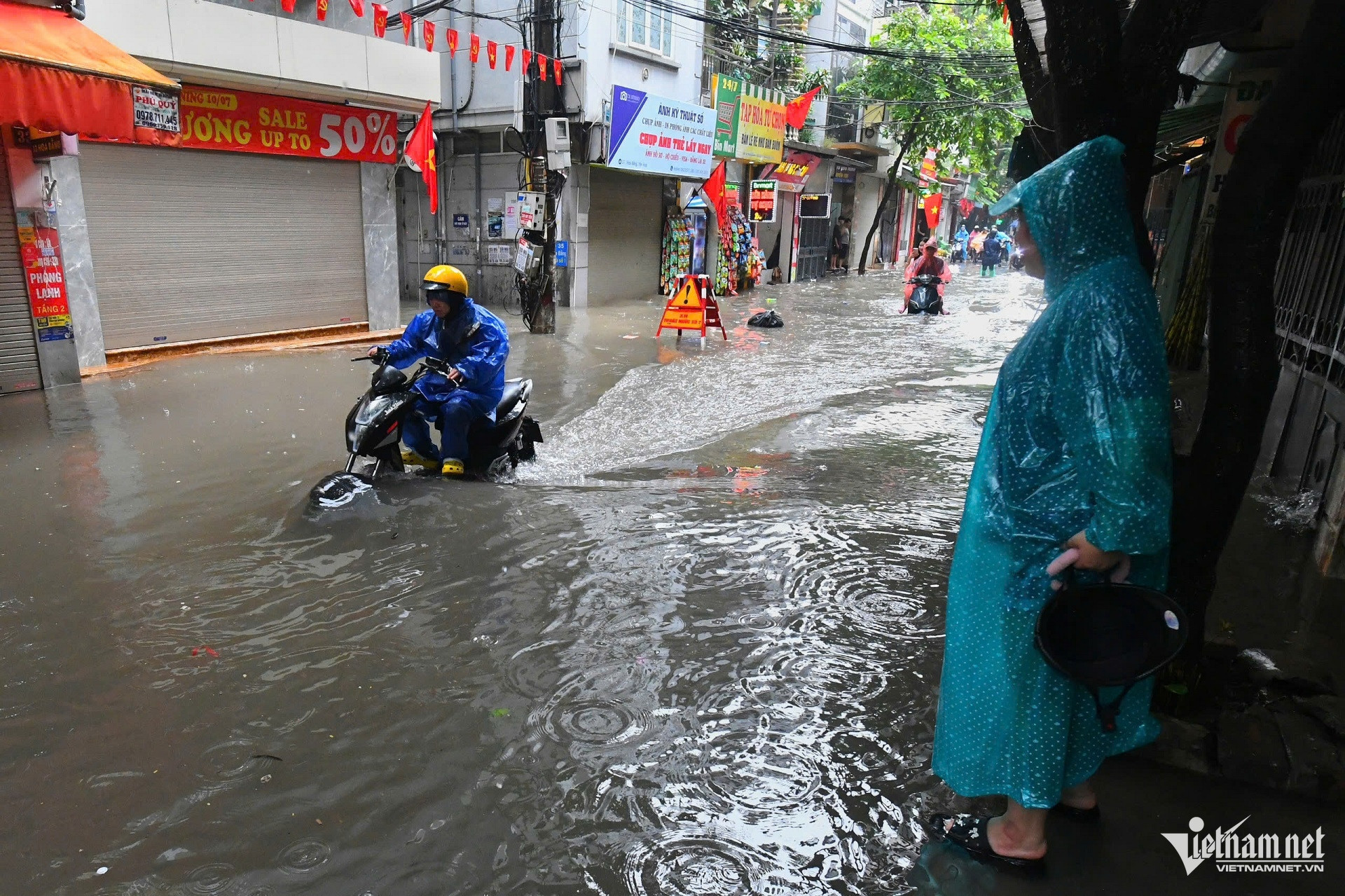

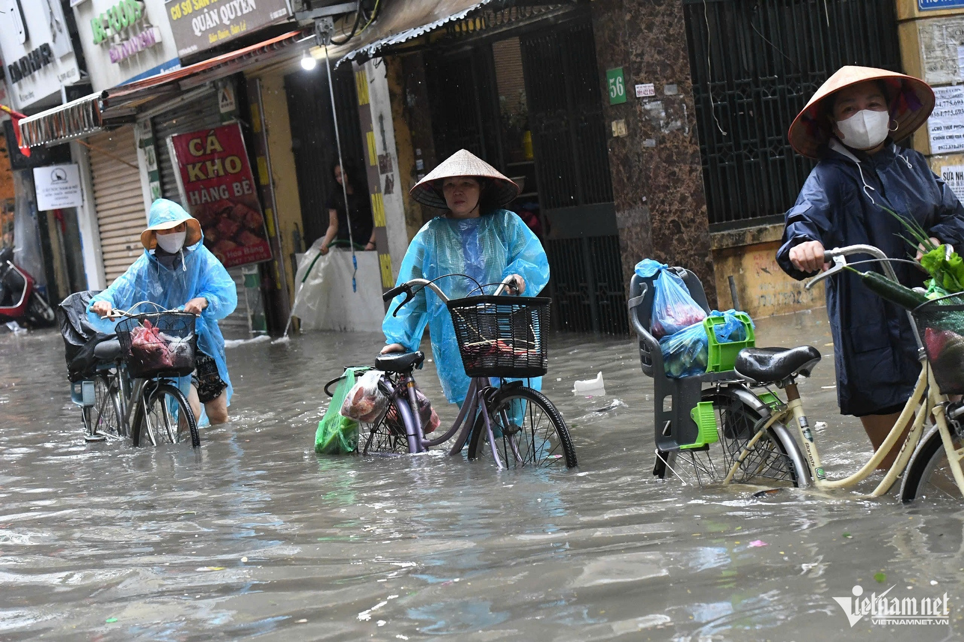
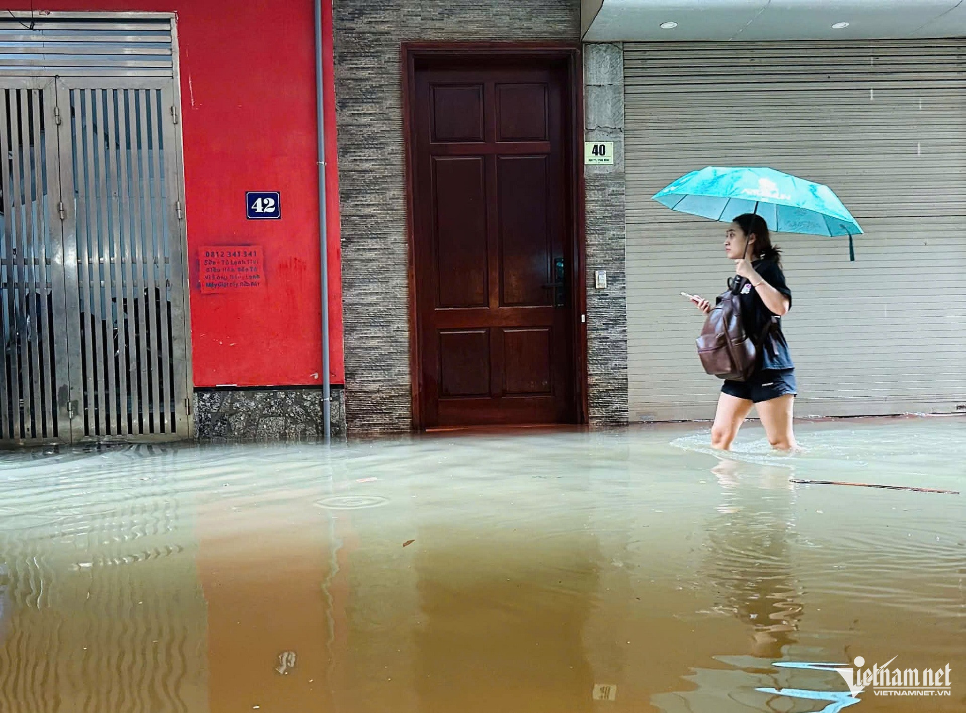
The Hanoi Sewerage and Drainage Company said the drainage system was being operated in response to rainfall and water levels on the ground.
All 20 pumping units at Yen So station were put into operation, along with all four units at Bac Thang Long-Van Tri, all four at Co Nhue and all three at Dong Bong 1.
Numerous other pumping stations were also activated to drain affected areas, including Phu Thuong, Resco, Nguyen Hoang Ton, Kim Lien, Ha Tri, Mau Luong, Phuc Dong, Van Phuc, Da Sy, Tan Mai, the new Den Lu station, Dong Bong 2 and the new Dong Bong 2 station.
Pumps serving underpasses at Le Van Luong Street, the National Convention Center, Thanh Xuan and Trung Hoa intersections, as well as railway and Tay Nam district road underpasses, were also operated according to established procedures.
Alongside pumping operations, the company opened gates at retention lakes, kept waterways clear and closely monitored rainfall and water levels throughout the drainage system.
At 3:45 p.m. on September 16, the company opened the Thanh Liet dam to help lower water levels in the To Lich, Nhue and Day rivers.
At 10:30 p.m., it continued operating the Thanh Liet dam and other regulating gates in response to rainfall and water levels.
Rain was still falling in some parts of Hanoi at 6 a.m. on September 17. Drainage crews and equipment remained on standby, with major pumping stations continuing to operate while workers cleared waterways.
Water levels surge in rivers, canals and lakes
Heavy rainfall also caused water levels in several Hanoi rivers and canals to rise rapidly.
At the Yen Nghia pumping station, the water level in La Khe Canal climbed from 3.21 meters at 8 p.m. on September 16 to 5.33 meters at 6 a.m. on September 17.
The Nhue River rose from 3.96 to 5.38 meters at the Ha Dong sluice, from 3.91 to 5.29 meters downstream of the Cau Buou pumping station and from 3.69 to 5.15 meters at the Co Nhue station.
At Dong Bong 1 station, the Nhue River rose from 3.99 to 5.45 meters.
The To Lich River at Hoang Quoc Viet rose from 4.06 to 5.48 meters, while the water level downstream of the Thanh Liet dam increased from 4.06 to 5.46 meters.
Hanoi’s retention lakes also recorded rising water levels.
Giang Vo Lake rose from 4.36 to 5.06 meters, Kim Lien Lake from 3.78 to 4.86 meters and Linh Dam Lake from 2.71 to 3.02 meters.
At West Lake, the water level at the 1A Tran Vu monitoring point rose from 6.20 to 6.46 meters, while the reading near 292 Lac Long Quan increased from 5.50 to 6.14 meters.
With rain continuing, the Hanoi Sewerage and Drainage Company said it would closely monitor weather conditions and water levels while keeping personnel and equipment ready to respond to emerging situations, with priority given to traffic safety and drainage capacity.
VietNamNet
.svg)
