According to Khiem, one or two such disturbances are currently active offshore, and meteorologists are closely monitoring their development. He stated there is a 50-55% chance of a tropical depression forming east of the Philippines within a week, potentially moving into the East Sea.
“We will continue to track these disturbances and promptly provide updates and warnings through official media channels,” Khiem added.
Earlier this morning (October 1), the Southern Hydro-Meteorological Station also issued a bulletin forecasting the reformation of the intertropical convergence zone over south-central Vietnam and the central East Sea within the next 3-10 days. This system is expected to intensify gradually, with a potential tropical cyclone forming around October 4-5. Meanwhile, the southwest monsoon is currently moderate to weak but may strengthen around October 5.
Northern Vietnam faces more heavy rainfall
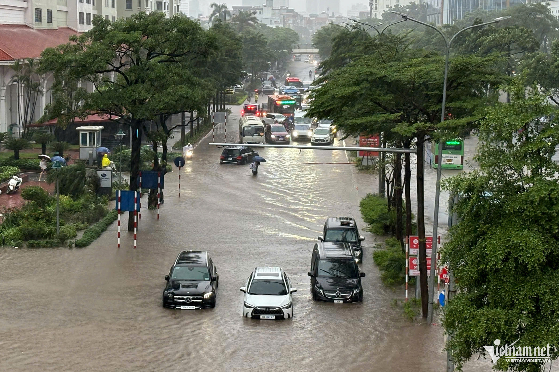
The National Center for Hydro-Meteorological Forecasting also reported that heavy rainfall is likely to continue across northern mountainous regions today and tonight (October 1), with localized downpours of 20-40mm, and some areas exceeding 80mm.
There is a warning for extreme rainfall exceeding 80mm within a 3-hour period.
In Hanoi, light showers and thunderstorms are expected throughout the day and night, with some localized heavy rain. The highest temperature will be around 31°C, bringing cool conditions to the capital.
Rainfall intensity across northern Vietnam is expected to gradually ease. Between October 2-5, the region will enjoy relatively stable weather, with minimal rain and light sunshine, before a potential return of widespread rain from October 6-8 due to a new storm system.
However, the forecast for this upcoming rainfall will depend on how the disturbance near the Philippines evolves. Authorities and residents are urged to stay updated via official forecasts.
Storm season reaches its peak
Residents from northern provinces down to Ha Tinh are still grappling with the aftermath of Typhoon Bualoi, which brought massive rain, flooding, landslides, and severe damage.
Forecasts indicate that from now until the end of the year, the number of storms or tropical depressions forming in the East Sea and impacting Vietnam will likely exceed the annual average. Typically, the East Sea sees about 4.5 storms per year, with 1.9 making landfall.
According to Khiem, climatological patterns suggest that storms during this period often affect central and southern Vietnam. While September marks the start of the storm season in the central region, the peak typically lasts from September to November and can even extend into early December.
With sea surface temperatures currently running high, experts warn that powerful storms in October and November are increasingly likely.
Bao Anh