 Vietnamnet.vn

 Podcast



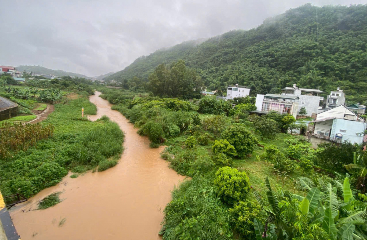
At 7 a.m., the water level at the Hat Lot hydrological station reached 514.05 meters, exceeding Warning Level 3 by 0.55 meters and remaining 3.23 meters below the historic flood level recorded in August 2018.
Forecasters expect the water level at Hat Lot station to rise further to around 514.5 meters between 1 p.m. and 7 p.m., which would place it approximately one meter above Warning Level 3 before remaining at a high level.
The hydro-meteorological agency warned that low-lying areas along the Nam Pan River basin in Chieng Luong, Mai Son, Chieng Mai, Chieng Mung and Muong Bu communes face an elevated risk of flooding.
Rising river and stream levels could also trigger flash floods and landslides on steep hillsides and road embankments, while damaging bridges, culverts and roads running alongside rivers and streams.
Local authorities in areas with suspension bridges and low-water crossings have been urged to warn residents to exercise caution and avoid crossing these structures during periods of heavy rain or rising floodwaters.
The flood has been classified as Level 2 on Vietnam's natural disaster risk scale.
Authorities have advised residents in vulnerable areas to closely monitor weather updates and take proactive measures to ensure their safety.
Duc Hoang
.svg)
