Warning of flash floods and landslides
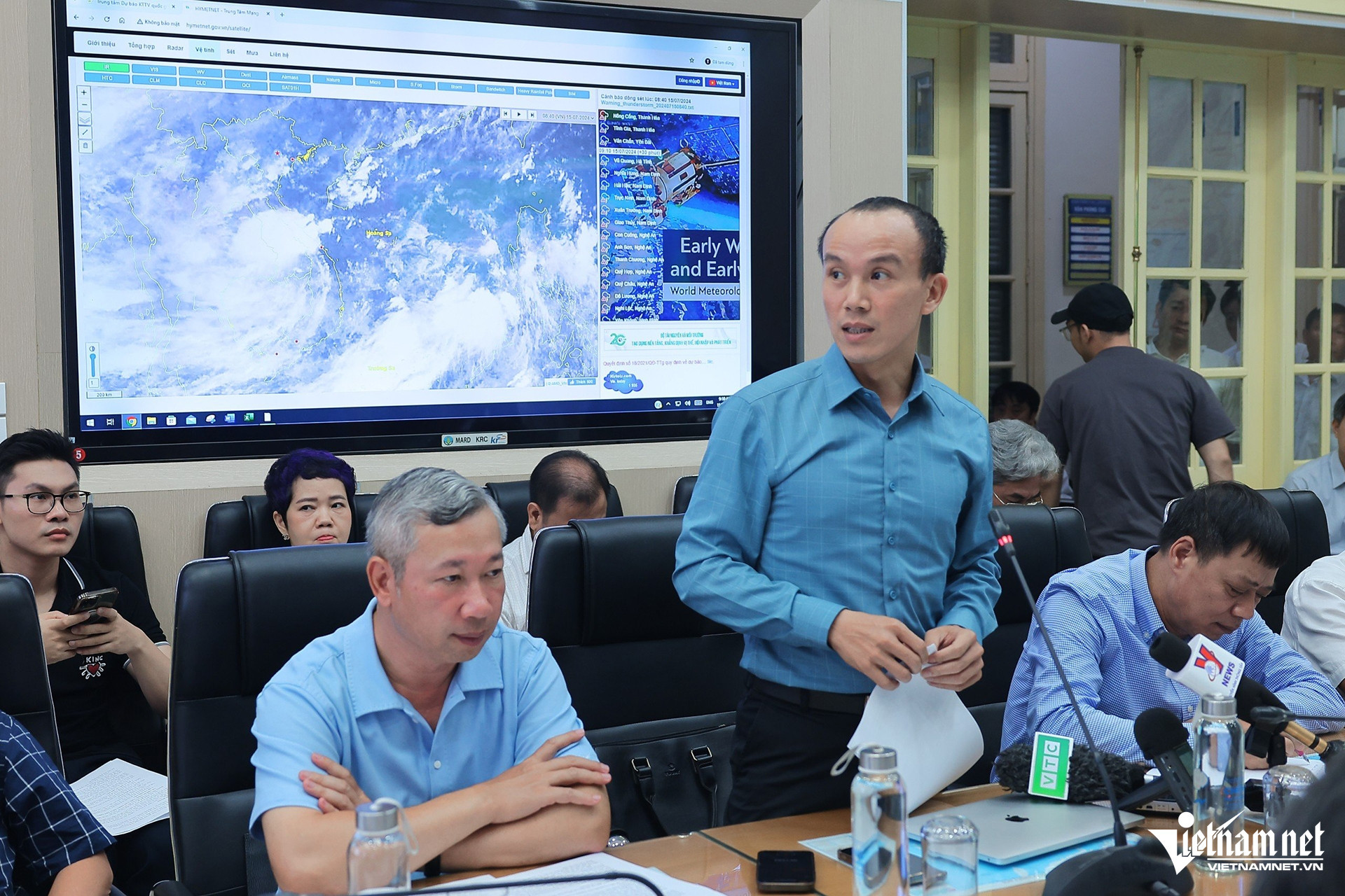
On the morning of July 15, the Ministry of Agriculture and Rural Development (MARD) held a meeting to discuss responses to the tropical depression and anticipated heavy rainfall.
Nguyen Hoang Hiep, Deputy Minister of MARD, stated that the National Center for Hydrometeorological Forecasting predicts more storms and rainfall this year compared to last year, with particularly unpredictable weather in central Vietnam.
"Although this is the first tropical depression of the season, we cannot be complacent. The Ministry is holding this meeting to focus on response strategies and to ensure public awareness," the Deputy Minister emphasized.

Tropical depression details and expected impact
At the meeting, Hoang Phuc Lam, Deputy Director of the National Center for Hydrometeorological Forecasting, reported that at 7 AM, the tropical depression was located southwest of the Hoang Sa (Paracel) Archipelago. The strongest winds near the center of the depression were at level 6 (39 - 49 km/h).
"Today, the tropical depression will maintain level 6 strength, then gradually weaken, likely reducing below level 6 upon making landfall in the central provinces," Lam explained.
Lam noted that with the current cloud distribution, rain will affect the entire Central, Central Highlands, and Southern regions today, expanding to the Northern region subsequently.
Rainfall forecasts for the Northern coastal and delta regions, the Central Highlands, and the Southern regions range from 50 - 100mm, with localized areas receiving over 200mm. In the Northern and Central Central regions, rainfall is expected to be between 70 - 150mm, with localized areas exceeding 250mm.
Heavy rainfall in the Central region could persist until July 17, while in the Northern region, it may continue until July 18.
"Our greatest concern is the risk of flash floods and landslides in the southern Central Highlands and mountainous areas in the Central region (from Thanh Hoa to Quang Ngai). In the Northern mountainous areas, rainfall will extend to Ha Giang, Lao Cai, Yen Bai, Dien Bien, and Lai Chau," Lam warned.
He also mentioned that due to the influence of the southwest monsoon, the Truong Sa (Spratly) Archipelago, as well as the coastal areas from Binh Dinh to Ca Mau and Ca Mau to Kien Giang, will experience thunderstorms and large waves.
Restrictions on hazardous routes
According to the Border Guard Command, as of 6:30 AM today, over 40,000 boats with 196,000 people have been informed about the tropical depression’s location and direction to proactively avoid danger. This includes 1,037 boats with 6,187 people operating in the sea area from Quang Tri to Quang Ngai and around the Hoang Sa Archipelago. Thua Thien Hue province has imposed a sea ban since the afternoon of July 14.
Pham Duc Luan, Director of the Department of Dyke Management and Disaster Prevention, emphasized that despite the tropical depression's wind speeds being only at level 6, local authorities should be vigilant about small boats that could be at risk if they venture out to sea.
Localities also need to check drainage systems, prepare for waterlogging, and protect agricultural production, low-lying areas, urban areas, and industrial zones. Currently, even a rainfall exceeding 100mm poses a high risk of flooding in urban areas.
"We recommend that the Ministry of Transport review roads prone to incidents and landslides, and take measures to restrict and prohibit people from accessing these hazardous routes," said Pham Duc Luan, Director of the Department of Dyke Management and Disaster Prevention.
Dinh Hieu