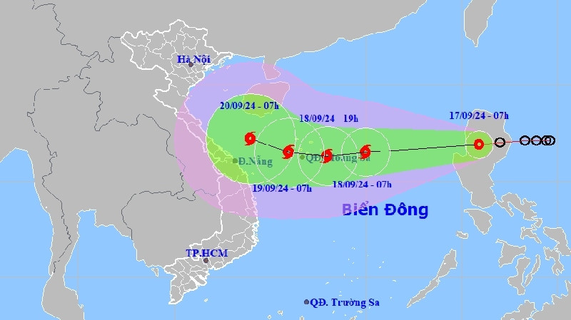

Forecasters said at 1 p.m. on September 30 that the eye of the storm was located in northern sea area of Luzon Island of the Philippines, with the strongest winds near the storm’s centre reaching between 167km and 183km per hour.
Over the course of the 72 to 120 hours, the storm will move in a north-northeast direction at speeds of between 5km and 10km per hour, with the intensity continuing to weaken.
Due to the impact of the typhoon, there will be strong winds and rough seas occuring in the northeastern sea area of the East Sea from early morning on October 1, with sea waves reaching between 2.0 metres and 4.0 metres high.
Vessels operating in the affected areas are therefore likely to experience whirlwinds, strong winds, and high sea waves.
VOV