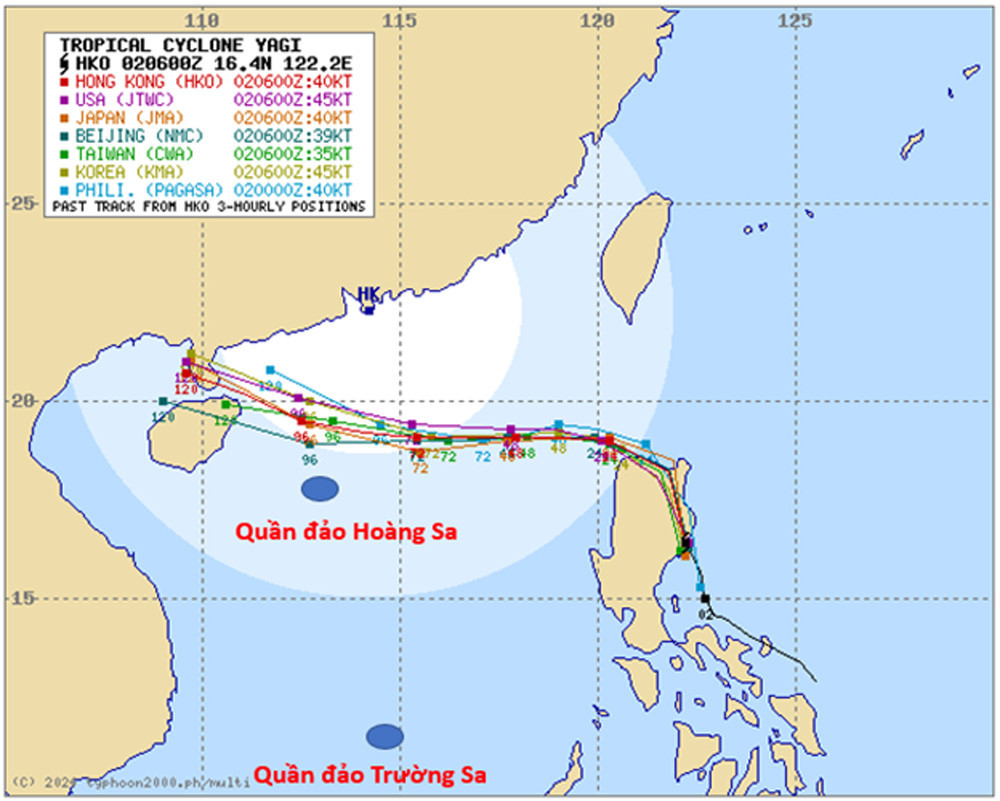
On the evening of September 2, the NCHMF released its first official update on Typhoon Yagi. According to Nguyen Van Huong, Head of the Weather Forecasting Department, the tropical depression in the central Philippines intensified into Typhoon Yagi, the 11th storm to form in the Northwest Pacific this year.
As of 1 p.m. on September 2, the typhoon was located east of Luzon Island in the Philippines, with sustained winds of up to 150 km/h and gusts reaching 205 km/h. The storm is expected to move northwest and could enter the East Sea by the night of September 3 after crossing the 120th meridian.
“The conditions in the East Sea, including sea surface temperatures of 30-31 degrees Celsius, are conducive to further strengthening of Typhoon Yagi as it moves westward,” Huong noted.
Both Vietnamese and international forecasting agencies agree that Typhoon Yagi is likely to strengthen further as it approaches the East Sea. While predictions vary, Japan’s meteorological agency estimates the storm could reach a peak intensity of Category 4 (winds up to 215 km/h), while forecasts from China and Hong Kong suggest it could reach Category 5 strength (winds exceeding 240 km/h). The U.S. forecast predicts Yagi could reach Category 5 with winds over 280 km/h.
Huong emphasized that it is too early to determine whether Typhoon Yagi will continue westward after reaching Hainan Island, potentially impacting northern Vietnam. However, from September 3 onward, the northeastern region of the East Sea will begin to experience the effects of the storm, with wind speeds increasing to 60-70 km/h and gusts reaching 100 km/h, accompanied by rough seas.
Between September 4 and 6, Yagi could intensify further in the northeastern East Sea, with wind speeds reaching 150-180 km/h and gusts up to 280 km/h near the storm’s center. Waves are expected to reach 5-7 meters, creating extremely hazardous conditions for maritime activities.
Huong urged residents and authorities to closely monitor updates from the NCHMF, as the storm’s trajectory and intensity could change due to interaction with the terrain and large-scale atmospheric currents as it moves into the East Sea.
Bao Anh