 Vietnamnet.vn

 Podcast



Vietnam is laying the groundwork for a major change in the way land is identified and managed, moving toward a system in which each parcel has its own digital identity and information can be accessed through national digital platforms.
The approach could eventually replace the current reliance on physical land-use right certificates, commonly known in Vietnam as “red books,” with standardized, interconnected digital data.
The transition is already beginning to take shape in Thanh Hoa Province, where authorities are piloting the integration of land-use right certificates into VNeID, Vietnam’s national electronic identification application.
Location data as infrastructure for the digital economy
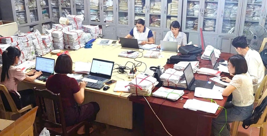
At a workshop on location data management held on August 10 by the National Data Association (NDA) and the Vietnam Global Data Experts Network (VDEN), experts described standardized location information as a fundamental layer of infrastructure for the digital economy.
Nguyen Hong Son, deputy secretary-general of the NDA, said that from a geographical perspective, a location identifies a point or area on the Earth’s surface.
From a data perspective, however, that location may be associated with a person, a land parcel, a business or a building.
“When location data is standardized, identified and connected, it becomes a point of connection for a wide range of activities in the digital economy,” Son said.
Location data can help logistics companies optimize operations, allow government agencies to connect population, land, housing and public-service databases, and provide accurate information that enables artificial intelligence systems to understand and interact with the physical world.
“Location data is not simply another type of data. It is an infrastructure layer of the digital economy,” Son said.
Vietnam is entering a period of rapid data development, supported by an increasingly comprehensive legal framework and the creation of multiple national databases.
But Son cautioned that possessing large volumes of data does not automatically create a data economy.
Value emerges only when information is standardized, connected and put to use in creating new products, services and economic value.
Vietnam therefore needs shared foundational data layers, with location data among the most important.
Drawing on Switzerland’s experience, Luu Vinh Toan, an engineer at UBS Group, said Swiss address data consists of four basic elements: street name, house number, postal code and city or locality.
Residents and businesses are required to report changes to their information. Once standardized data is available, additional layers can be built on top of it, including information on solar energy, water resources and noise.
People can then access those datasets and view relevant indicators.
Switzerland regards address data as infrastructure for a digital nation: local authorities update the information, while national standards ensure consistency.
According to Toan, this approach also reduces dependence on Big Tech platforms such as Google.
Every land parcel to have its own digital identity
At the workshop, Dinh Hong Phong from the Land Management Department under the Ministry of Agriculture and Environment said land parcels in Vietnam have traditionally been identified through land-use right certificates.
That approach can create difficulties when administrative boundaries or governance structures change because parcel data may also need to be adjusted.
Authorities are therefore developing a land-parcel identification system similar in concept to the personal identification used with VNeID.
Each parcel would receive a unique identifier that does not depend on administrative boundaries. The identifier would be encoded using an algorithm based on the parcel’s geographical location on digital mapping applications such as Google Maps, an approach under development since 2025.
The land-parcel identifier is also intended for use in digital address records, cadastral records and electronic land-use right certificates.
According to Phong, the system would eventually allow Vietnam to move away from land certificates in their current form, helping prevent document forgery as well as cases in which the same documents are improperly used as collateral multiple times.
Land administration would shift from managing paper certificates to managing data.
The goal is to complete the system and integrate the data into VNeID by the end of 2027.
People would then be able to look up land-parcel information through VNeID under a more open and transparent system.
Thanh Hoa becomes testing ground for digital land certificates
While the nationwide system remains under development, Thanh Hoa has become the first locality to pilot the integration of land-use right certificates with VNeID.
By July 30, the province had cleaned data for more than 1.23 million of its nearly 1.4 million land parcels, equivalent to 88.64%, ranking 13th among Vietnam’s 34 provinces and centrally governed cities.
Following further standardization under new requirements, 711,996 parcels met the highest “accurate, complete, clean and live” data criteria as of August 8.
Of these, more than 385,000 parcels were already included in the database, while over 326,000 were awaiting verification.
The work marks an important transition from simply possessing digital information to actually using it in administrative procedures.
According to Thanh Hoa Provincial Police, nearly 3,000 land-related applications are processed across the province every day.
In many cases, residents still have to bring their physical land-use right certificates to government offices for presentation, photocopying and verification, while some checks continue to be performed manually.
That raises a practical question: if the information is already held by government agencies, why should citizens have to present documents proving it again?
Digital transformation is therefore about more than simply putting administrative procedures online.
If residents still have to photograph and upload documents that government agencies already possess, the process has merely shifted from paper to electronic files without genuinely reducing the administrative burden.
The ultimate goal is to reuse existing data so that people have fewer documents to provide, less information to declare repeatedly and fewer trips to government offices.
Since July 1, Thanh Hoa has piloted the online processing of five procedures involving the registration of secured transactions while expanding the sharing and reuse of digital information among government agencies.
Following its data-cleaning campaign, the province moved to the next critical step: connecting land information with the national population database.
Thanh Hoa proposed that the Ministry of Public Security, Ministry of Agriculture and Environment and Ministry of Justice allow it to pilot electronic certificates of land-use rights and ownership of assets attached to land through VNeID.
An Nong Commune was selected as the first location nationwide for the pilot.
Certificate information there has been updated and synchronized with VNLIS, Vietnam’s national land information database, creating the foundation for connecting the data with VNeID.
So far, 32,414 land parcels in An Nong have been synchronized with VNLIS. Of these, 6,416 have also been matched with the Ministry of Public Security’s national population database, paving the way for land-use right certificates to be integrated into VNeID.
First resident receives land certificate through VNeID
Nguyen Thi Ha, a resident of Quang Khe Village in An Nong Commune, became the first person to receive a land-use right certificate through an identification code on the VNeID application.
Ha said the procedure could be completed quickly and conveniently through her phone, saving considerable travel and waiting time.
“Receiving the land-use right certificate through VNeID brings many conveniences. I don’t have to spend as much time traveling or waiting,” she said. “Having the certificate information integrated into the application makes it easier for me to access, manage and use whenever necessary. I received the certificate on the app within the morning.”
Han Viet Anh, director of the Trieu Son branch of the Land Registration Office, said reaching this stage required authorities to systematically review, standardize, cross-check and update information for individual land parcels.
The goal is for the data to be “accurate, complete, clean, live, consistent and shared.”
Once land information is verified and interconnected, residents should find it easier to complete administrative procedures.
Documents already available in government systems can be retrieved directly, reducing the need for people to repeatedly provide or present the same paperwork while also shortening travel and waiting times.
“Integrating land-use right certificate data into VNeID is a step forward in digitizing land records,” Viet Anh said. “People can access the information directly on their electronic devices, reducing paperwork and travel time while helping improve the efficiency of administrative procedures.”
Nationwide rollout will require more than technology
Expanding the system from a pilot area to a nationwide model will require further work.
Land databases must continue to be cleaned and standardized, administrative processes refined and technical infrastructure completed. Authorities must also address data security, information-access rights and the necessary legal framework.
Thanh Hoa has therefore asked the Ministry of Public Security and Ministry of Agriculture and Environment to continue refining technical solutions and data-connection mechanisms.
It has also asked the Ministry of Justice to assess the legal basis for the model, allowing lessons from the pilot to inform further improvements before a wider rollout is considered.
Major General Nguyen Ngoc Cuong, director of the National Data Center under the Ministry of Public Security and vice chairman of the National Data Association, said data is increasingly becoming a national development resource.
Land information should be interconnected with construction data, he said, helping reduce administrative procedures for residents while supporting logistics and the broader digital economy.
Dao Duc Trieu, secretary-general of the National Data Association, said public demand for land data is already substantial.
The information needs to be accurate, complete, clean, continuously updated and capable of connecting with other databases and being applied in everyday activities, including logistics.
Vietnam also needs businesses specializing in data processing that can develop applications for different industries.
Nguyen Ngoc Que, chief technology officer at Admicro, said Vietnam has abundant data and no shortage of online data tools.
The problem is that information remains insufficiently interconnected, synchronized and integrated, while map data can still contain significant discrepancies.
Data-driven land valuation, for example, could provide a more objective and transparent basis for determining prices for standardized parcels. In practice, however, significant gaps between data-based valuations and actual market conditions can remain.
Information must therefore be verified at individual locations, parcel owners accurately identified and datasets standardized.
“If we want data to become a new resource for development, we first have to make it possible for datasets to find one another, understand one another and connect with one another,” Son said. “And location data is one of the important starting points on that journey.”
Thai Khang – Le Duong
.svg)
