It is likely to move into the northeastern maritime area of the northern sea, coinciding with a low-pressure trough that could cause thunderstorms and large waves in the northern parts of the sea and the Gulf of Tonkin.
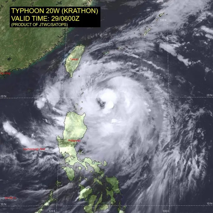
According to the National Hydrometeorological Forecasting Center, as of 1 pm on September 30, Typhoon Krathon was located at approximately 20.4 degrees North latitude and 121.3 degrees East longitude, north of Luzon Island (Philippines).
The typhoon's strongest winds near the center are reaching Category 15 (167-183 km/h), with gusts exceeding Category 17. It is moving west-northwest at a speed of 10-15 km/h.
Over the next 24 hours, Typhoon Krathon is expected to move into the northeastern waters of the northern sea. Current forecasts indicate that it will not significantly affect the coastal and mainland areas of Vietnam.
From 72 to 120 hours onward, Typhoon Krathon is predicted to move primarily in a north-northeast direction at a speed of about 5-10 km per hour, gradually weakening further.
Due to the typhoon's impact, the northeastern maritime region of the northern sea (north of latitude 18.0N; east of longitude 116.5E) will experience strong winds of Category 6-7, intensifying to Category 8-9 near dawn on October 1. Sea waves will reach heights of 2 - 4 meters, later increasing to Category 10-12 near the typhoon's center, with waves reaching 7 - 9 meters; the sea will be extremely rough.
Particularly, a low-pressure trough currently extends from 19-22 degrees North latitude connecting with Typhoon Krathon. It is forecasted that on the night of October 1 and on October 2, the Gulf of Tonkin will see northeast winds of Category 5, occasionally reaching Category 6 or 7; the sea will be rough with wave heights from 2 - 3 meters.
Vessels operating in these hazardous areas are likely to be impacted by storms, waterspouts, strong winds, and high waves.
Related to the areas impacted by Typhoon Krathon, the Taiwanese Meteorological Agency has issued warnings as the typhoon approaches Taiwan (China). Weather experts from the agency suggest that Krathon will continue to strengthen, bringing strong winds and heavy rains to Taiwan from the morning of October 1 to October 3.
Meanwhile, the Korean Meteorological Administration also predicts that Typhoon Krathon may change direction as it moves from Taiwan towards the waters south of Jeju Island. If Krathon continues its northward path toward the Korean Peninsula, it could directly impact South Korea between October 1 and 3.
Ly Dao