 Vietnamnet.vn

 Podcast



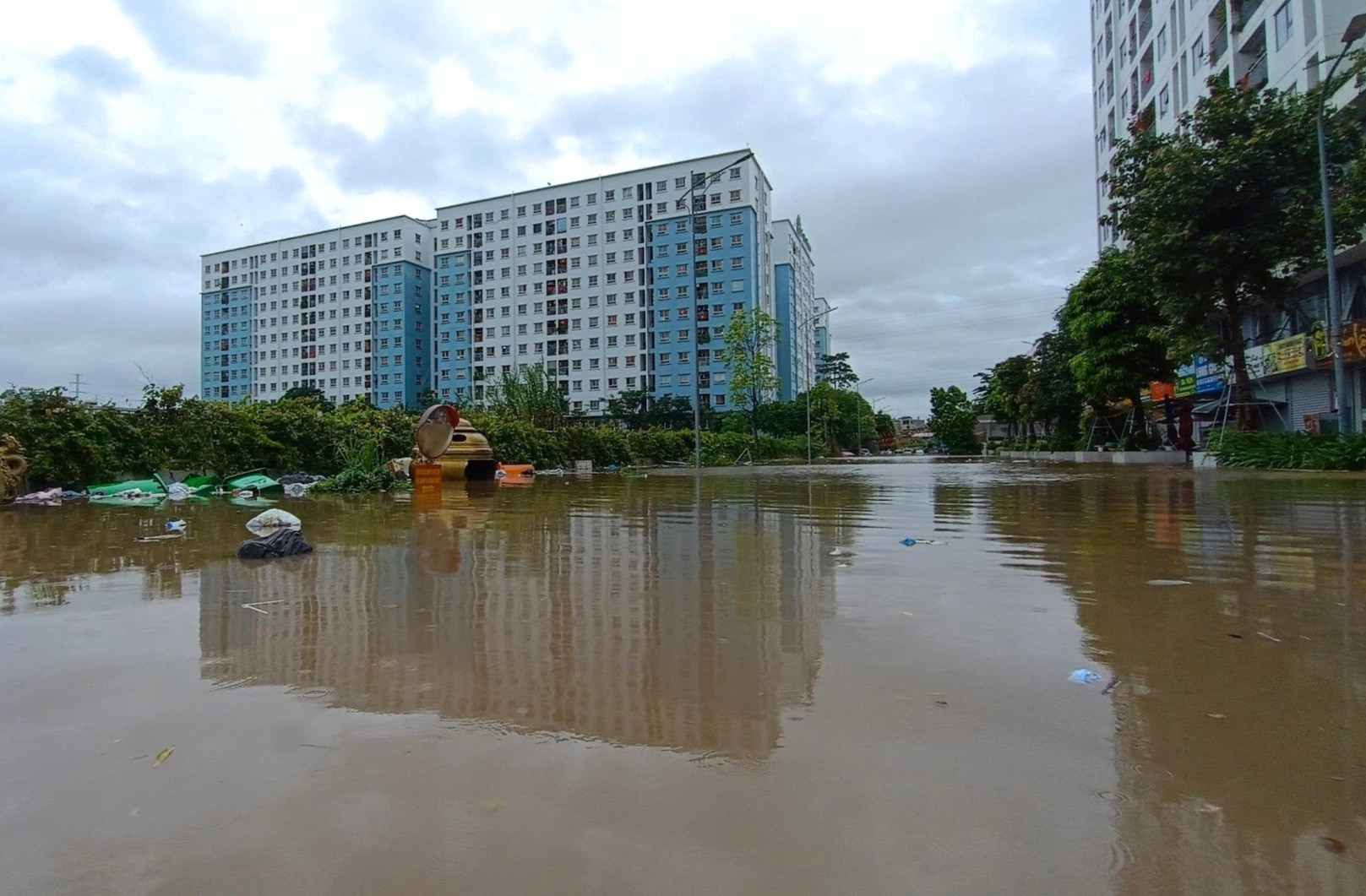
Hanoi authorities have been instructed to identify at least 10 locations for pilot underground rainwater retention reservoirs in public spaces, including parks, schools, parking lots and public squares, as part of efforts to address persistent urban flooding.
The directive was included in the conclusions issued by Vice Chairman of the Hanoi People's Committee Truong Viet Dung following a meeting on the project titled "Managing Flooding in Hanoi's Inner City Areas for the 2026-2030 Period."
According to city leaders, the project must go beyond proposing solutions and become a concrete action plan with clearly defined targets for reducing flood hotspots, flood depth and flood duration, while specifying project timelines and responsibilities for each agency involved.
For the To Lich River basin, which currently contains 16 chronic flooding locations, Hanoi aims to reduce flood depth to no more than 0.2 meters at key sites and shorten inundation periods to between 15 and 30 minutes during rainfall events within design capacity.
For extreme weather events that exceed design thresholds, authorities must prepare plans for public warnings, traffic management and the proactive operation of pumping stations and retention lakes.
Pilot underground reservoirs and permeable infrastructure
The Hanoi Department of Construction has been tasked with reviewing available land and selecting at least 10 sites for pilot underground rainwater retention reservoirs. The department will also study upgrades to streets and sidewalks using permeable materials such as porous concrete, permeable paving blocks and infiltration strips.
From September 1, 2026, local authorities will also be required to strictly control ground elevation adjustments when granting construction permits. The city aims to prevent arbitrary land raising that alters natural drainage directions or leads to the filling of ponds, lakes and canals.
Alongside physical infrastructure measures, Hanoi plans to install rainfall, water-level and flow-monitoring systems at major flood-prone locations. The city will also develop a hydraulic model covering approximately 842 square kilometers across the relevant drainage basins.
Developing a sponge city model
A key feature of the strategy is Hanoi's plan to develop a "sponge city" model, shifting from a mindset of simply fighting floods to one of living with and managing rainwater more effectively.
Under this approach, the city will not rely solely on larger drainage pipes and more powerful pumping stations. Instead, it will increase the capacity of urban areas to absorb, retain and gradually release rainwater.
According to city leaders, modern flood management is not just about building larger sewers or stronger pumps.
"If the entire city is covered in concrete and every drop of rainwater is directed into the drainage network, no system will be able to cope with the load. Urban areas must be able to absorb water, retain it and release it slowly," the statement said.
Hanoi has already put several underground flood-control reservoirs into operation, including facilities at Ly Thuong Kiet Secondary School, Hang Da Market and the Duong Bridge slope area.
Vu Diep - Thanh Hue
.svg)
