 Vietnamnet.vn

 Podcast


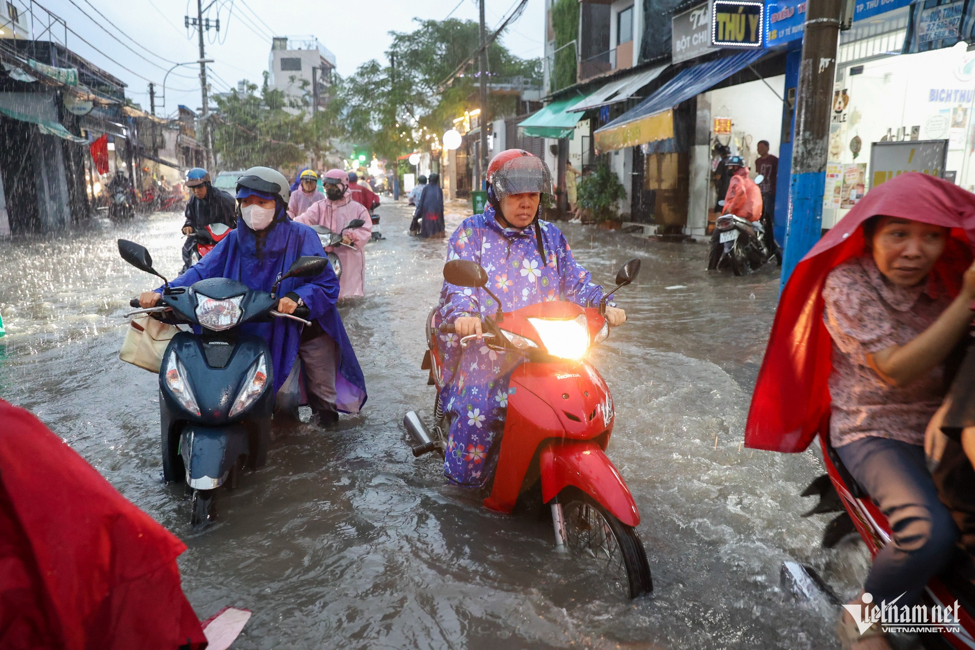
Cold air and wind disturbances to bring widespread rain
The Southern Regional Hydrometeorological Centre has warned that weather conditions across southern Vietnam could deteriorate between October 25 and November 3.
During this period, the region will be primarily influenced by cold air masses moving southward from northern Vietnam and strengthening toward the east, combined with upper-level easterly wind disturbances expected to develop around October 27-29.
The interaction of these weather systems could trigger a spell of unsettled conditions across the region.
According to Ngoc Diep, a forecaster at the centre's Forecasting Division, scattered rainfall is expected throughout southern Vietnam from October 27 to 29, with moderate to heavy downpours in some areas.
Rainfall will be concentrated around midday, in the afternoon and during the early evening. Overnight, precipitation is expected to decrease, with showers limited to isolated locations.
Despite the rain, southern Vietnam will continue to experience sunny conditions during the day.
Maximum temperatures will generally range from 31 to 34 degrees Celsius, although northern parts of southeastern Vietnam and some areas of the Mekong Delta could see temperatures exceeding 35 degrees Celsius.
The meteorological centre also highlighted several atmospheric developments likely to influence weather conditions in the coming days.
Over the next one or two days, the continental high-pressure system is expected to move eastward and weaken, while a low-pressure trough extending across northern Vietnam will be compressed by a strengthening continental high-pressure system to the north.
Meanwhile, a southern low-pressure trough positioned around 4-8 degrees north latitude will continue moving southward, becoming weaker and less distinct.
Over the following three to ten days, the continental high-pressure system is forecast to strengthen, stabilize and then weaken before intensifying again around November 1-2.
As a result, southern Vietnam could experience two separate surges of cold air over the next ten days, with the second arriving in early November.
At higher atmospheric levels, the subtropical high-pressure system is expected to extend westward, while disturbances in the easterly wind belt are forecast to become active again over southern Vietnam.
Rising tides threaten severe flooding in major urban areas
In addition to rainfall associated with cold air and easterly wind disturbances, southern Vietnam will face a high-tide period linked to the full moon of the ninth lunar month.
Water levels at several hydrological monitoring stations are forecast to rise significantly over the coming days.
In the Mekong Delta, water levels could reach 2.56 metres at Tan Chau station and 2.58 metres at Chau Doc station.
Across the Saigon-Dong Nai river basin, the water level at Phu An station is forecast to reach 1.73 metres on October 27, while Nha Be station could record 1.75 metres.
At Thu Dau Mot station, the water level could rise to 1.88 metres.
High tides typically peak in the early morning and late afternoon or early evening.
Of particular concern is the period from October 28 to 29, when heavy rainfall coinciding with elevated tides could substantially increase the risk of deep flooding in low-lying riverside communities and on numerous urban roads.
Authorities have identified Ho Chi Minh City, Can Tho, Vinh Long and Dong Thap as areas potentially affected by the combined weather conditions.
Residents are advised to monitor official weather forecasts, flood warnings and tidal updates closely.
They should also consider adjusting travel plans and daily activities to minimize disruption and potential risks associated with flooding.
Bao Anh

