 Vietnamnet.vn

 Podcast



Long, from Cam Pha in Quang Ninh Province, is a final-year tourism student at Saigon University in Ho Chi Minh City. As a child, he loved studying maps and plotting routes, dreaming of exploring Vietnam and the wider world. At 21, he traveled solo through five Southeast Asian countries: Vietnam, Cambodia, Thailand, Malaysia and Singapore.
This year, he set off on a motorcycle journey from Ho Chi Minh City, following the coast north before returning south along the western branch of the Ho Chi Minh Highway. The trip ran from August 7 to September 16 and covered approximately 6,000 kilometers.
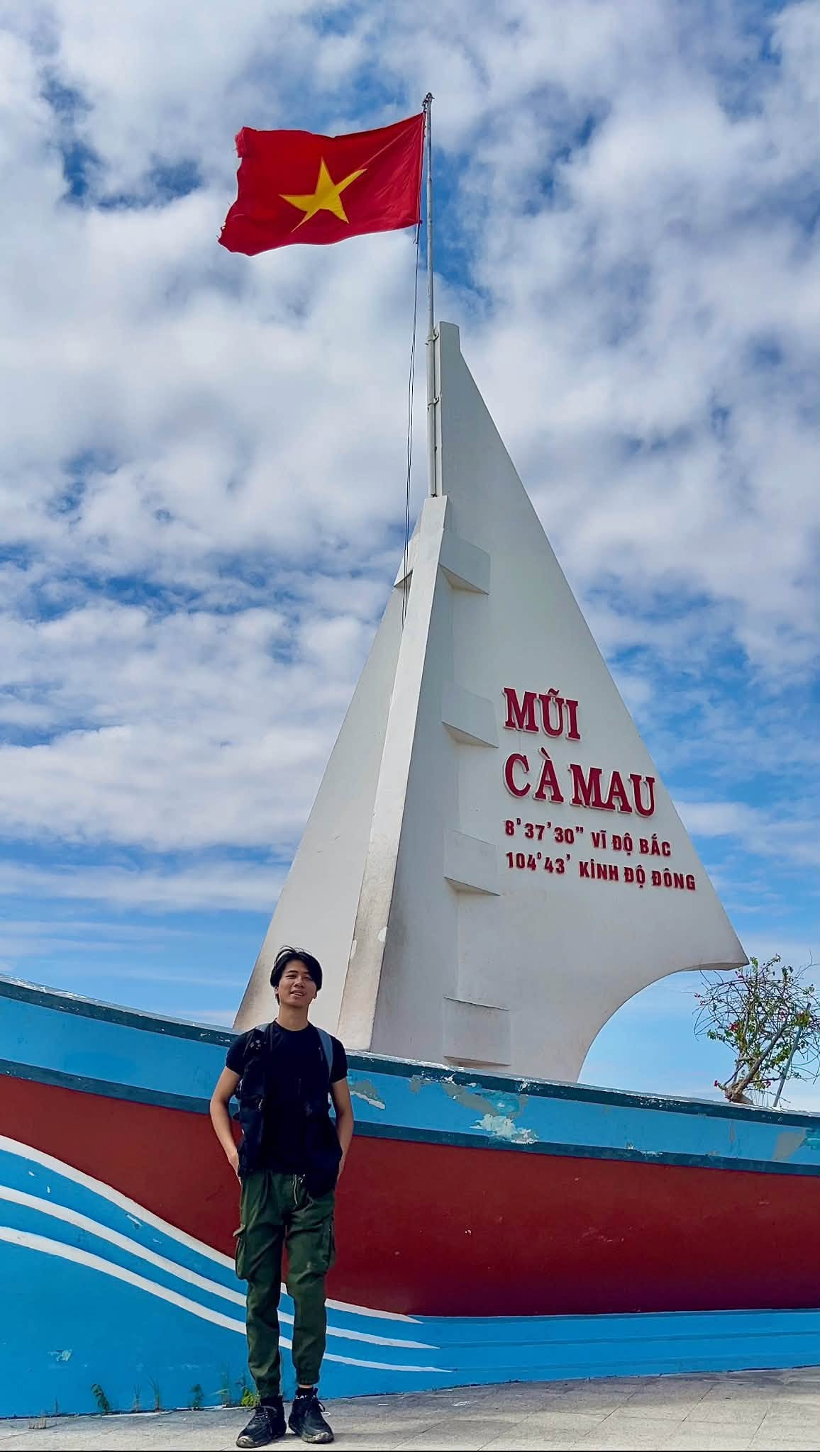
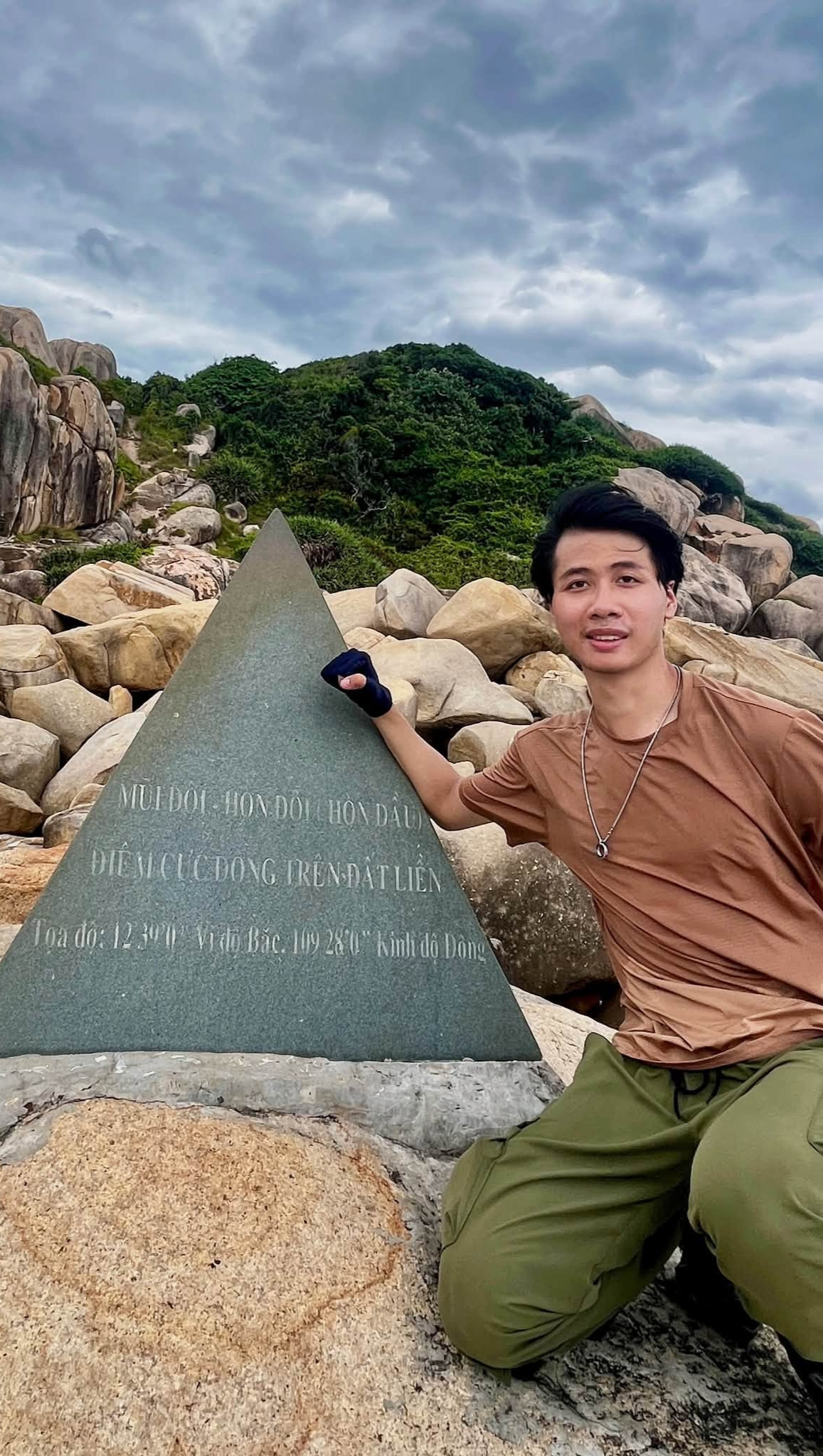
Compared with his first cross-country journey, Long said he prepared more thoroughly, from packing his gear to improving his fitness. He also learned to schedule rest stops to travel safely. He had three goals: reach all four of Vietnam’s geographical extremes, visit the northwest during the rice harvest season and explore the Truong Son route for the first time.
Four geographical extremes and unexpected setbacks
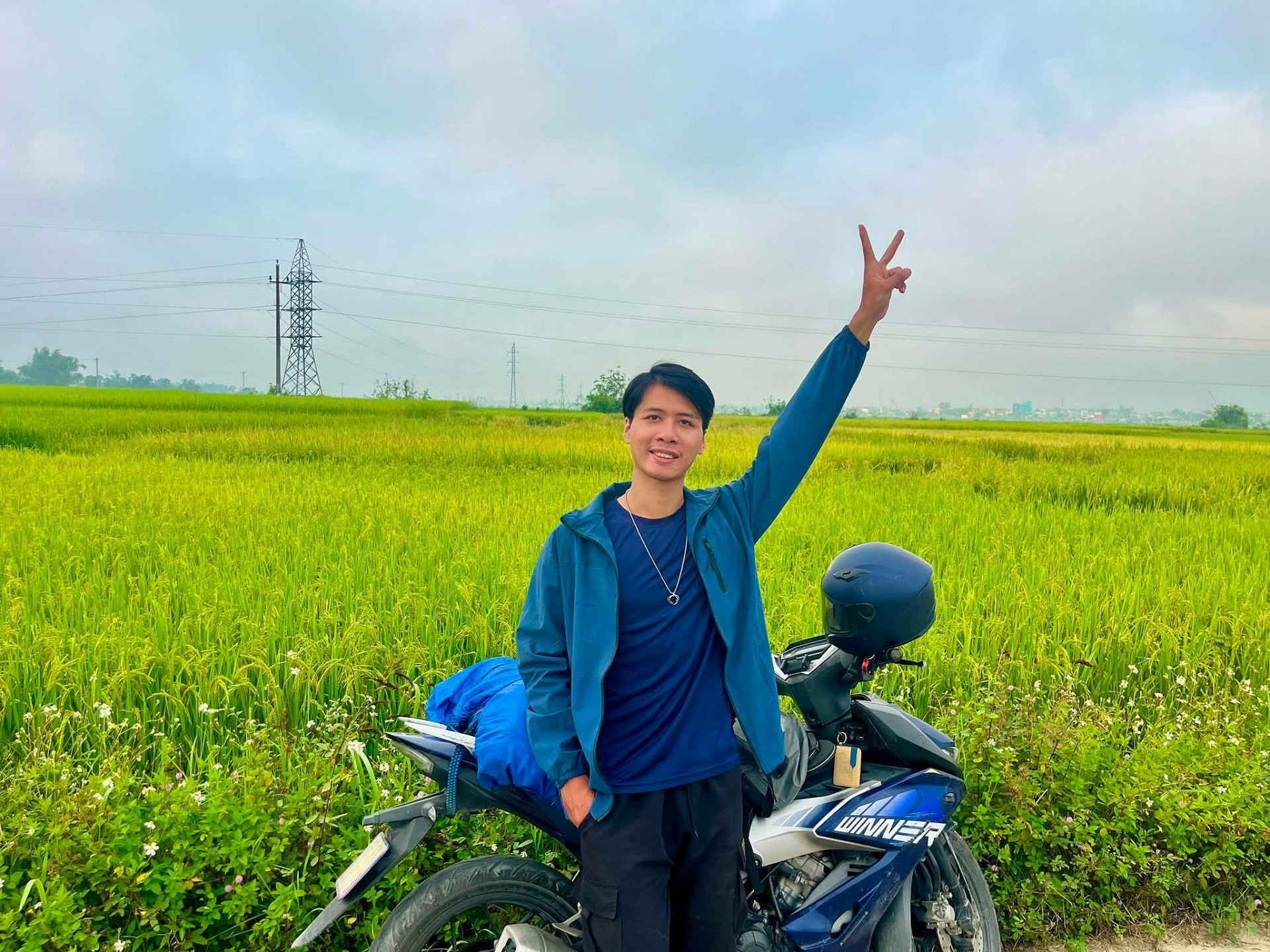
From Ho Chi Minh City, Long headed to Vietnam’s southernmost point in Dat Mui Commune, Ca Mau Province, before traveling through the south-central coastal provinces. Central Vietnam was hot in August, but the sea was brilliantly blue. He spent plenty of time camping by the shore, watching the sunrise in the morning and the sunset in the evening.
On this leg, he reached the country’s easternmost point on Hon Gom Peninsula in Dai Lanh Commune, Khanh Hoa Province. Getting there involved a roughly 20-kilometer trek through forest, across sand dunes and dense vegetation, and over rocky slopes.
Before setting out, Long worked on his fitness and prepared maps and GPS equipment. “Local people warned me that the route had many forks and it was easy to get lost, so I mapped out a specific route and followed it,” he said.
During the trek, an unfamiliar dog appeared and followed him throughout the journey, accompanying him all the way back to where he had parked his motorcycle before turning around.
“The trek was quite demanding, but the scenery was like a painting. What I remember most is the sunset over the sea at Dam Mon. It was so peaceful I could hardly bear to leave,” he said.
Long brought a drone to capture the scenery. But near the ancient Hon Chuong tower in Gia Lai Province, in what was formerly Binh Dinh Province, strong winds swept the device beyond his control. The drone, worth about $385, was lost, along with the footage he had already recorded.
“It really affected my spirits. I was very upset at first, then tried to lift my mood by writing in my journal and treating myself to a really good meal,” he recalled.
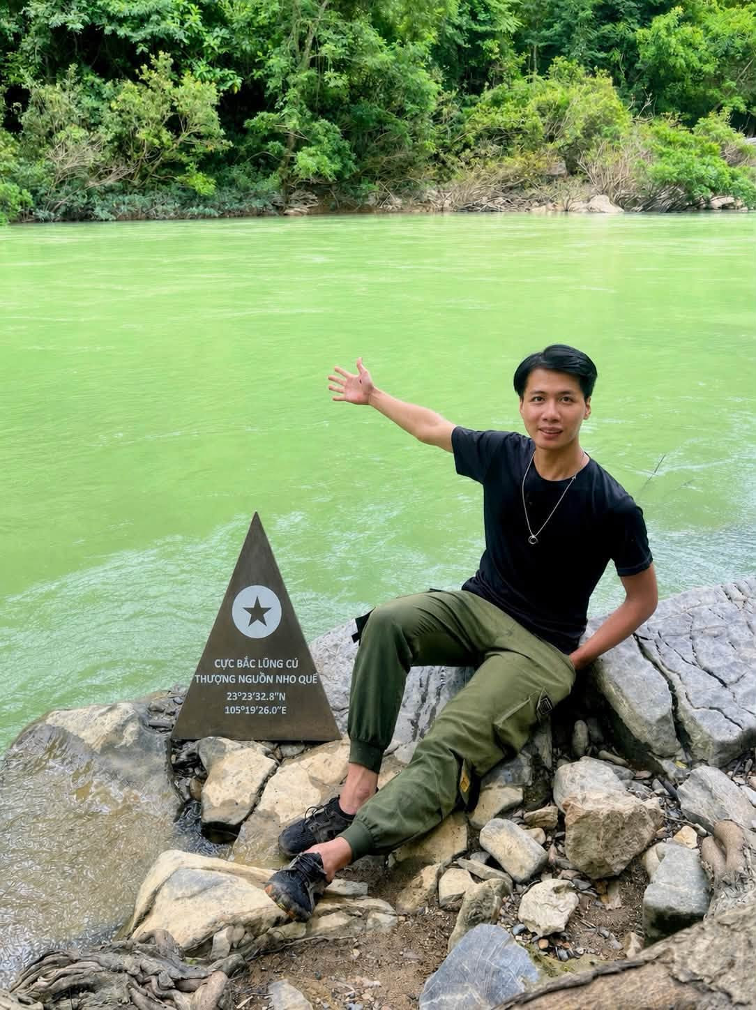
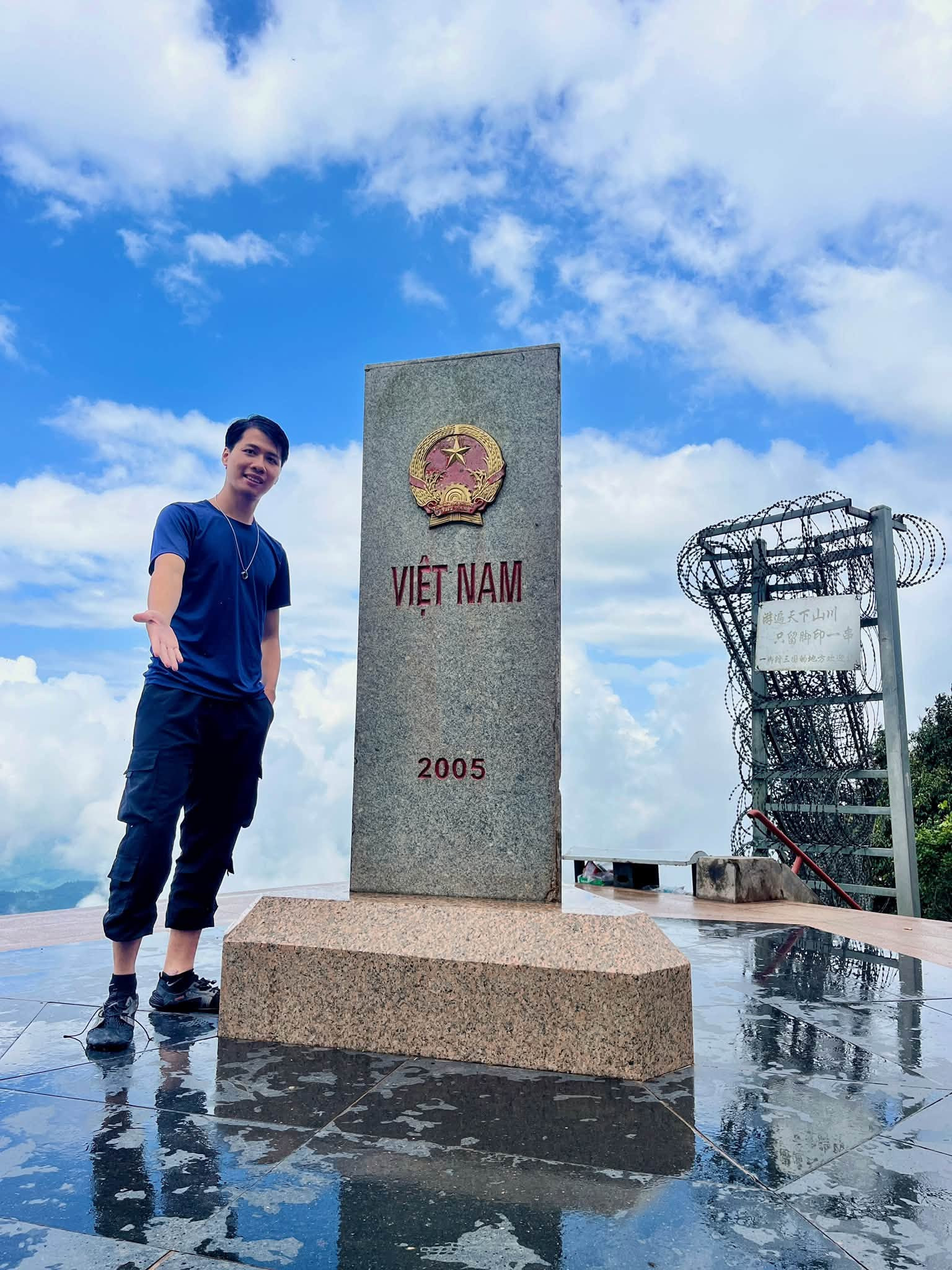
On September 3, Long began exploring Vietnam’s northeastern and northwestern regions, hoping to see the ripe rice fields he had missed on his previous cross-country trip. He was captivated by the golden terraces of Mu Cang Chai, the lush green grasslands of Lang Son and mountain passes winding through majestic scenery. He also met highland residents, listened to traditional mouth organs and flutes, and learned about local life.
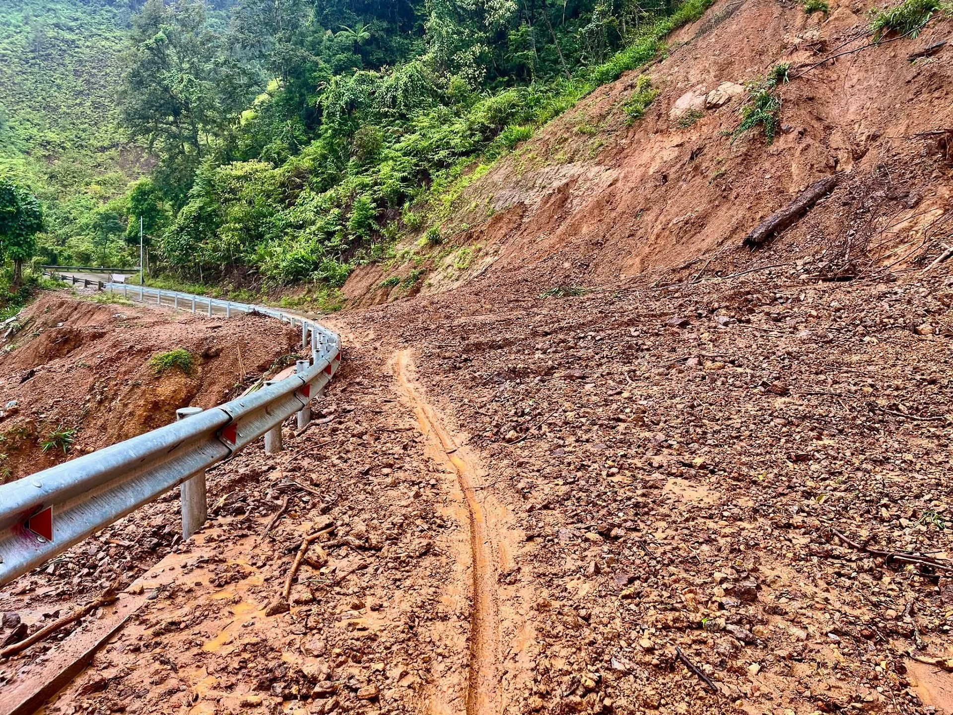
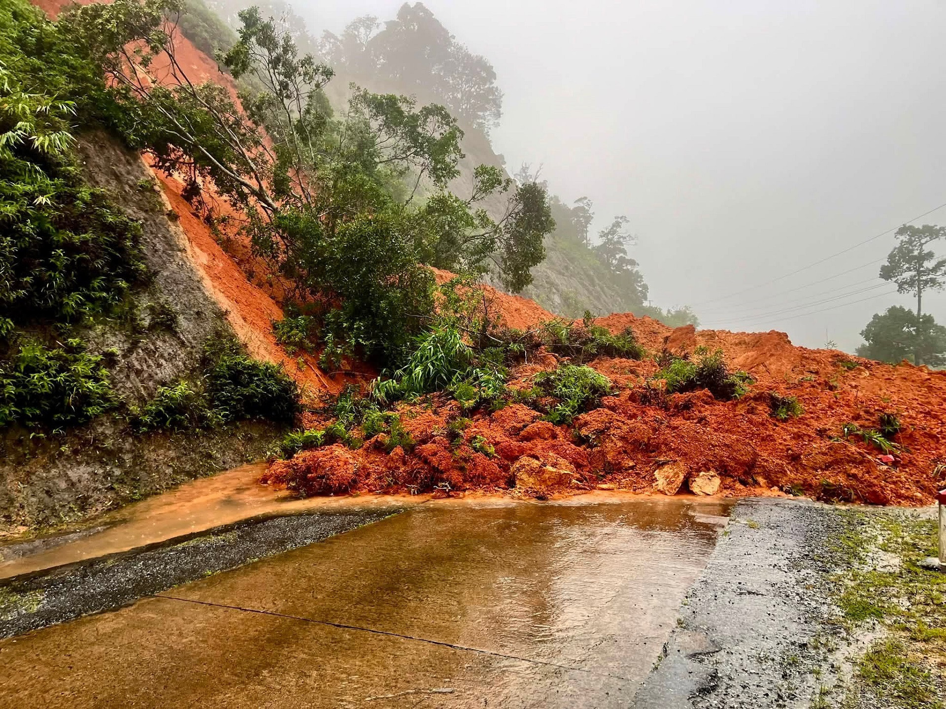
The journey was not without difficulties. Landslides had left earth and rocks covering more than half the road in places. Rain and fog made the winding mountain passes even harder to navigate.
Seven days along the Truong Son route
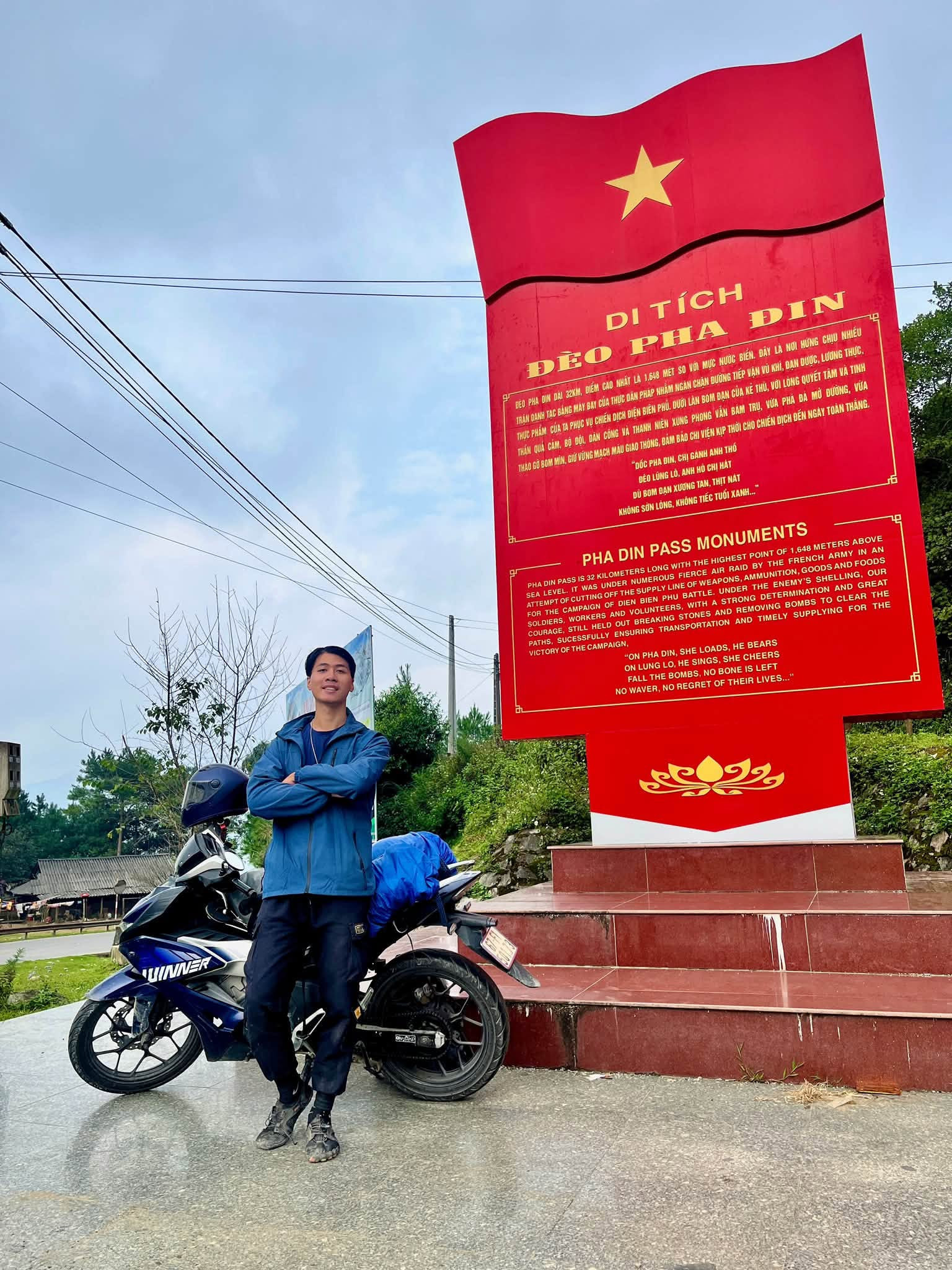
Leaving the northwest, Long headed south along the imposing Truong Son mountain range, a route of unspoiled scenery and mist-covered passes deeply entwined with Vietnam’s history. He arrived shortly after the area had endured repeated torrential downpours.
Over those seven days, he sometimes rode for eight or nine hours straight in the rain. Water poured down mountainsides, roads became slippery and muddy, rivers and streams rose, and landslides appeared one after another.
In Huong Phung Commune, Quang Tri Province, he encountered a major landslide that had covered almost the entire road, making it impassable to cars. Muddy red water was still flowing down from above, leaving him worried that more earth and rocks could give way.
At one point, the rain became so heavy that Long considered finding a turnoff toward National Highway 1. But he realized that changing routes would not necessarily be safer. Instead, he took shelter at a local home and waited for the rain to ease before continuing.
“While traveling through this area, I didn’t dare tell my family because I was afraid they would worry,” he recalled.
On a remote stretch in Quang Tri, near Lam Thuy Commune, Long met a boy of about 17. It was raining heavily, and fuel stations were few and far between on the western branch of the Ho Chi Minh Highway. Seeing that Long needed fuel, the teenager offered to lead him quite a distance to find some. When he noticed that Long’s raincoat was torn, he gave him his own. The gesture became one of Long’s most enduring memories of the trip.
“Experiencing the harsh weather here made me admire and appreciate the soldiers who served along the Truong Son route all those years ago even more. The trip wasn’t just about seeing beautiful scenery. It also helped me understand our history better and feel prouder of it,” Long said.
After around six weeks, the journey came to an end. Long had budgeted about $460 but ultimately spent roughly $540, mainly on fuel. He kept costs down by camping, staying in shared dormitory rooms at homestays and eating at local eateries.
“After the trip, I realized that what mattered most wasn’t how many places I had reached, but what I had learned along the way: how to deal with setbacks, how to adapt when things didn’t go as planned, and how the people I met saw life,” he said.
Long also plans to keep learning photography and filmmaking so he can share the beauty of his hometown and country with others.
Linh Trang
.svg)
