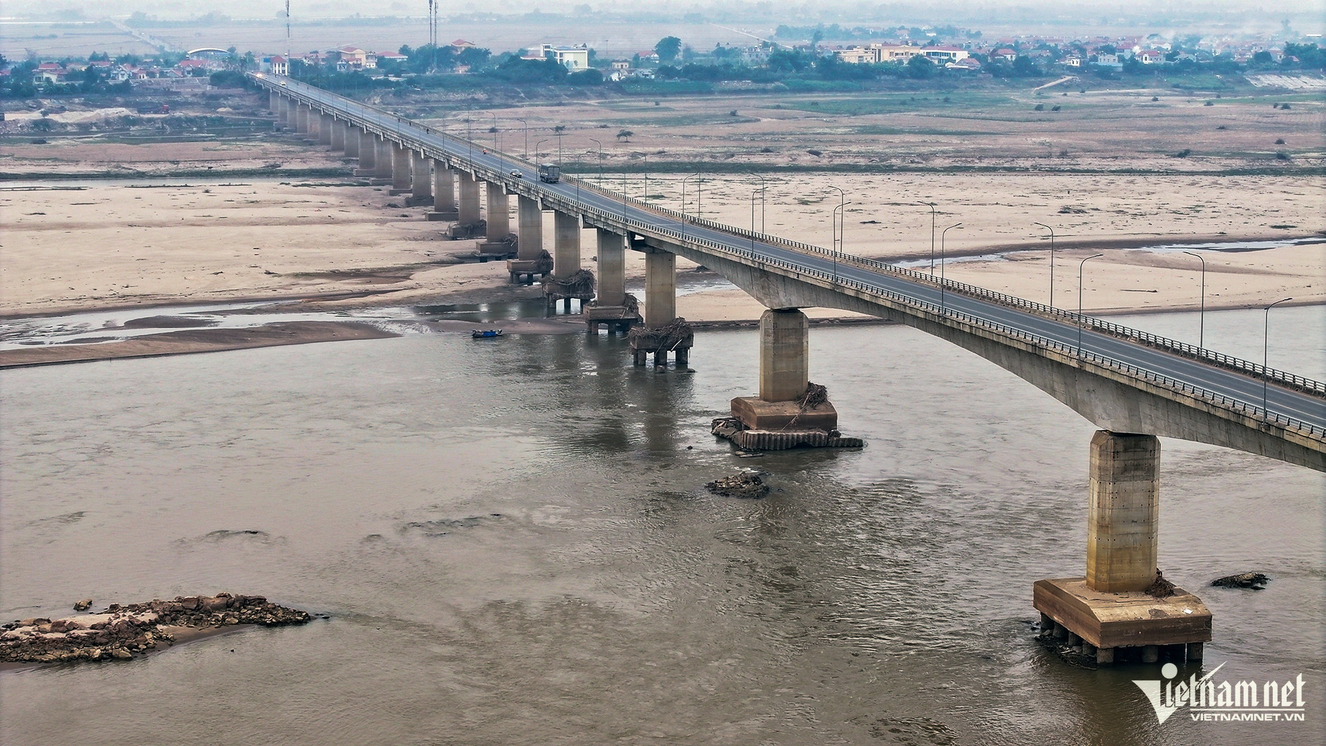
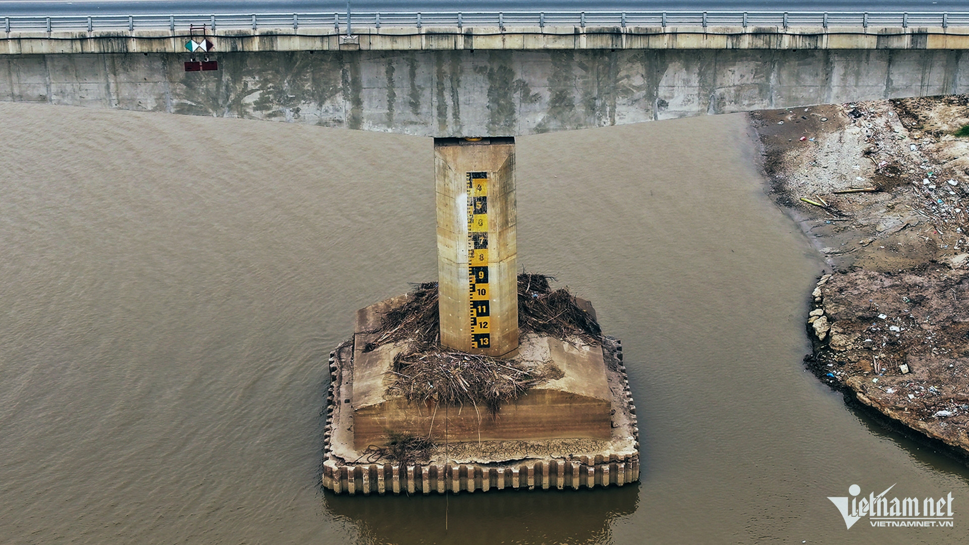
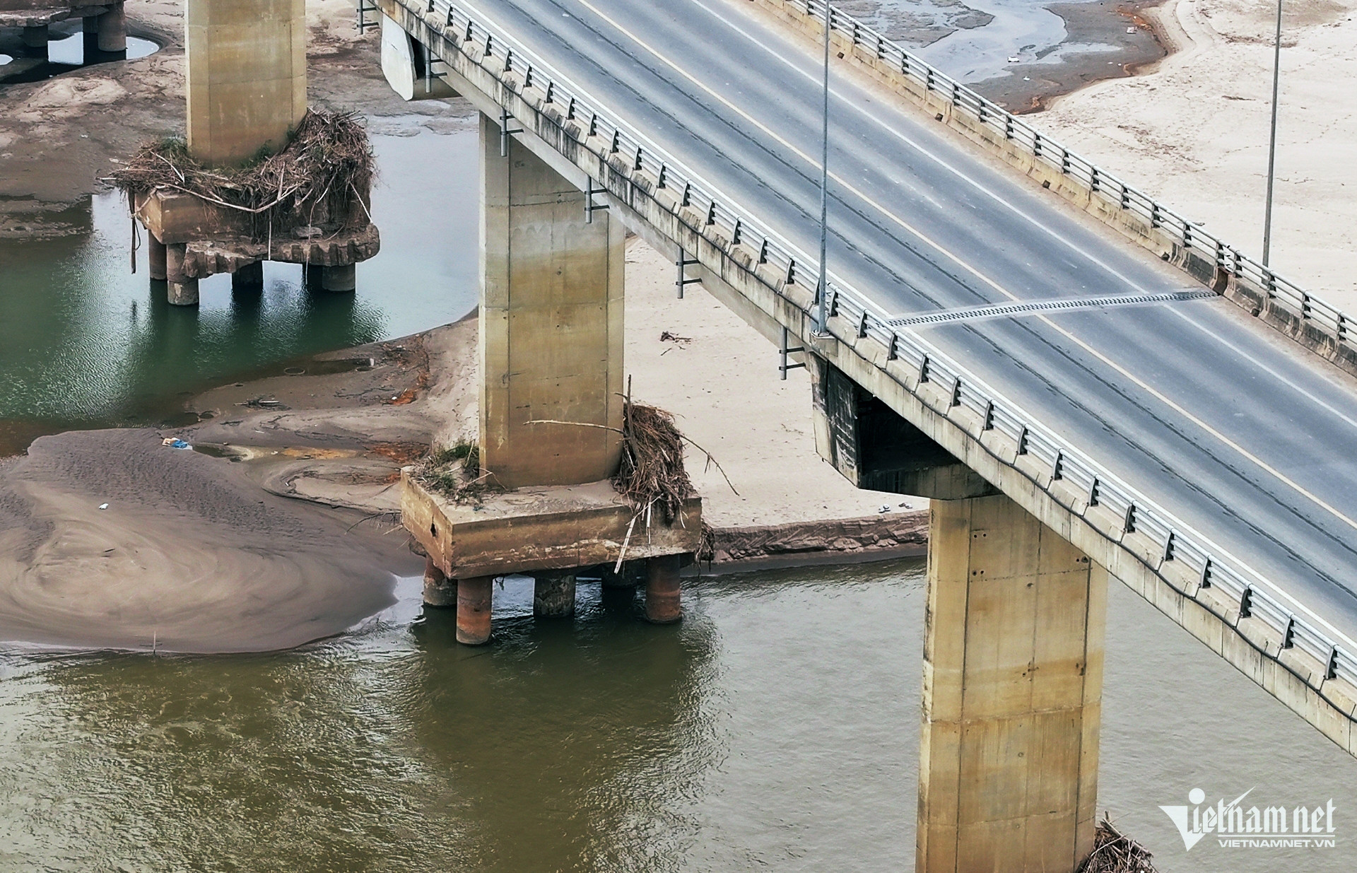
The receding water level of the Red River has exposed the foundations of the Van Lang Bridge, which connects Ba Vi District (Hanoi) and Viet Tri City (Phu Tho).
According to the National Center for Hydro-Meteorological Forecasting, the water level of the Red River in Phu Tho is currently at 11.03 meters and is expected to remain stable in the short term.
This low water level has revealed the base of the Van Lang Bridge’s piers.
The bridge, which was inaugurated in 2018, had a total investment of nearly 1.5 trillion VND (approximately 61.1 million USD).
Its starting point in Hanoi connects to National Highway 32 in Phu Son Commune, Ba Vi District, while its endpoint in Phu Tho links to National Highway 32C in Tho Son Ward, Viet Tri City.
Bridge specifications and current impact
The Van Lang Bridge and its access roads span approximately 9.46 kilometers, with the bridge itself stretching 1.55 kilometers across the river.
The exposure of its foundations due to the low water levels has highlighted challenges in waterway traffic.
Shallow waters and submerged rocky outcrops have made navigation through this section of the river particularly difficult.
Photos from the scene reveal significant portions of the bridge's piers and abutments exposed, especially near the Tho Son Ward access road in Viet Tri City.


