 Vietnamnet.vn

 Podcast


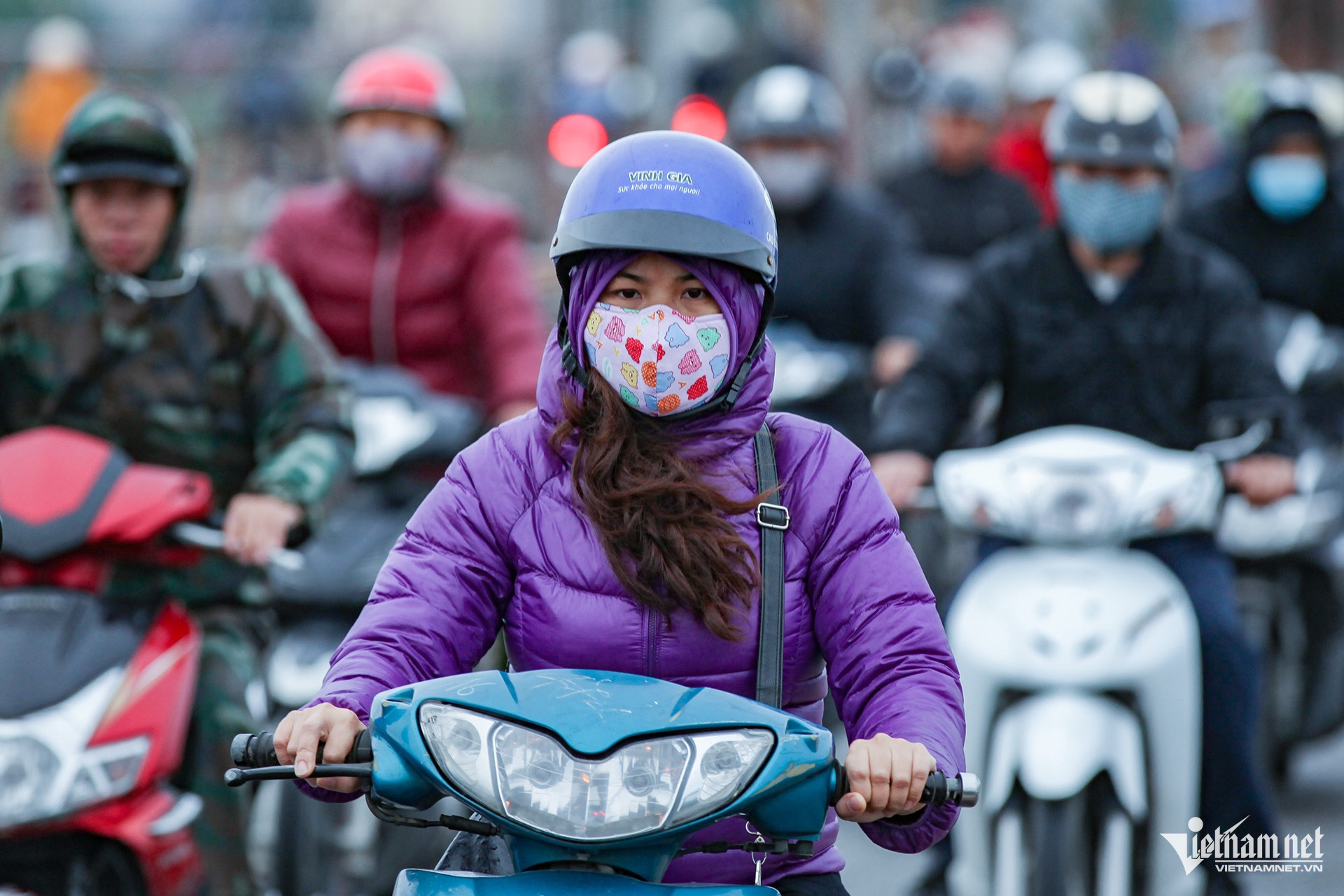
More notably, a stronger cold air surge is expected on November 8-9. Combined with upper-level wind convergence, it could trigger showers and thunderstorms, with Hanoi likely to turn chilly from November 9.
Minimum temperatures on November 9 are forecast to fall to around 18 degrees Celsius in Ba Vi and Bat Bat, and 19-20 degrees elsewhere. The day's maximum temperature is expected to reach around 22 degrees.
Dry weather is forecast for November 10-11, with temperatures gradually rising, although nights and early mornings will remain chilly.
Looking at November as a whole, the Northern Regional Hydrometeorological Center expects Hanoi to experience two to three cold air surges. Despite these, the monthly average temperature is forecast to remain 1.5-2 degrees above the long-term average.
Total rainfall for the month is expected to range from 50 to 100mm, concentrated mainly in the first 10 days. Rainfall is likely to become less frequent toward the end of November.
In October, Hanoi recorded average temperatures of 27.1-29 degrees Celsius, some 2.3-3 degrees above the long-term average. The highest temperature, 37.1 degrees, was recorded at the Lang weather station on October 2.
Meteorologists described October as the hottest autumn period in northern Vietnam in 35 years.
Southern Vietnam's rainy season to end earlier than usual
According to the Southern Regional Hydrometeorological Center, weather systems responsible for late-season rainfall, including the equatorial low-pressure trough and disturbances in upper-level easterly winds, are expected to remain relatively active only during the first week of November before weakening.
Meanwhile, cold air surges are forecast to become stronger and more frequent, extending farther south and exerting a limited influence on weather conditions in Ho Chi Minh City and the wider southern region.
The cool, dry northeast monsoon is expected to be the main factor behind declining rainfall, signaling the end of the rainy season in southern Vietnam and Lam Dong Province.
Total rainfall in November is forecast to be near or below the long-term average. Most rain is expected during the first half of the month, followed by a marked decline in the second half, with around eight to 13 rainy days overall.
Some areas may still experience relatively heavy rainfall, including Ca Mau and An Giang in southern Vietnam, as well as Cat Tien and Bao Loc in Lam Dong Province.
The rainy season in these areas is expected to end around the middle two weeks of November, approximately 10-15 days earlier than usual.
Average temperatures during November are forecast to remain 0.5-1.5 degrees above the long-term average. Some parts of southern Vietnam may experience isolated hot days.
However, stronger cold air surges in the second half of the month could bring slightly cooler nighttime temperatures. Northern parts of southeastern Vietnam and Lam Dong may experience cool conditions at night and in the early morning.
Forecasters also consider tropical cyclone formation over the East Sea unlikely during November.
Nevertheless, residents are advised to remain alert to thunderstorms, whirlwinds, lightning and strong gusts. Powerful northeast monsoon surges accompanied by rough seas could also pose risks to vessels operating in the region.
These weather developments come amid a very strong El Nino event that is expected to peak in the final months of the year.
El Nino typically increases the likelihood of above-average temperatures, heatwaves, drought and water shortages, while also altering rainfall patterns and the activity of storms and tropical depressions.
Bao Anh

