Under its newly announced master plan, Hanoi will relocate bus stations located inside Ring Road 3 and develop a second airport in the southern part of the capital with an expected capacity of 30-50 million passengers per year meeting international standards.
According to the newly released Hanoi Capital Master Plan, the city aims to comprehensively modernize its transportation system through a multi-layered and regionally connected network.
One of the most notable proposals is Hanoi’s first-ever prioritization of multi-layer river-crossing tunnels combining both road and railway systems to save land clearance space and preserve the urban landscape.
In addition to bridge projects currently being accelerated for investment - including Tu Lien, Tran Hung Dao, Ngoc Hoi, Me So and Hong Ha bridges - the plan also mentions upgrading and expanding Chuong Duong Bridge while strengthening connectivity across the Duong and Da rivers as well as remote areas.
The city is also studying additional bridge and tunnel connections with five neighboring provinces.
Within the urban core, Hanoi plans to develop a multi-layer traffic model consisting of ground-level roads, elevated routes and underground tunnels at major intersections to optimize traffic capacity in areas where land expansion is difficult.
According to the master plan, Hanoi will complete the Ring Roads 4, 4.5 and 5 networks while expanding major radial routes including Thang Long Boulevard, Tay Thang Long Road, National Highways 1A, 6, 32 and 21, as well as the Ha Dong - Xuan Mai corridor.
The city also plans to build nine strategic transport corridors with a minimum of six main traffic lanes.
Among them, the section of National Highway 1A stretching from Ring Road 1 - Kim Lien Tunnel to Phap Van - Cau Gie Expressway will be studied for expansion to a cross-section width of 90 meters.
Another new direction in the master plan is the development of national-level multimodal passenger transit hubs in the Noi Bai area and at the second airport of the Hanoi Capital Region.
These integrated complexes are expected to combine aviation, urban railways, interprovincial bus services and logistics systems.
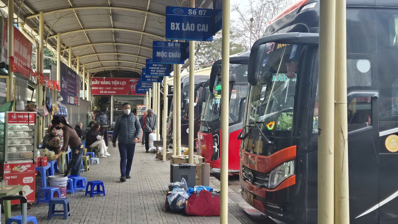
Hanoi also plans to gradually repurpose and relocate bus stations located inside Ring Road 3, including Gia Lam, My Dinh, Giap Bat and Nuoc Ngam stations.
The city said it would allocate land resources appropriately - including underground spaces - to develop parking facilities tailored to the needs of each area, integrated with service infrastructure, public transport systems, parks and ring road corridors.
Regarding aviation, the master plan sets a target of expanding Noi Bai International Airport to a capacity of around 50 million passengers annually while adding approximately 1,500 hectares of land to the south of the airport.
Notably, Hanoi plans to build a second airport for the Capital Region in the southern area covering Ung Hoa and Chuyen My.
The airport is expected to span around 1,500 hectares and handle between 30 and 50 million passengers per year.
The project is planned under an “airport city” development model.
In addition, the city will study adding dual-use civilian functions to the Gia Lam and Hoa Lac military airports.
For the first time, Hanoi’s master plan also mentions establishing takeoff and landing sites for new transportation technologies such as drones and flying taxis in Hoa Lac, Soc Son, high-rise buildings and suitable transport hubs to support future technology-based transport services.
Thanh Hue