- © Copyright of Vietnamnet Global.
- Tel: 024 3772 7988 Fax: (024) 37722734
- Email: evnn@vietnamnet.vn
weather forecast
Update news weather forecast
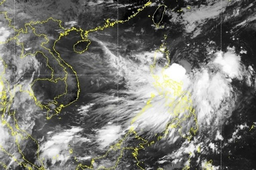
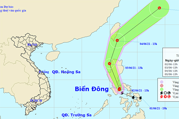
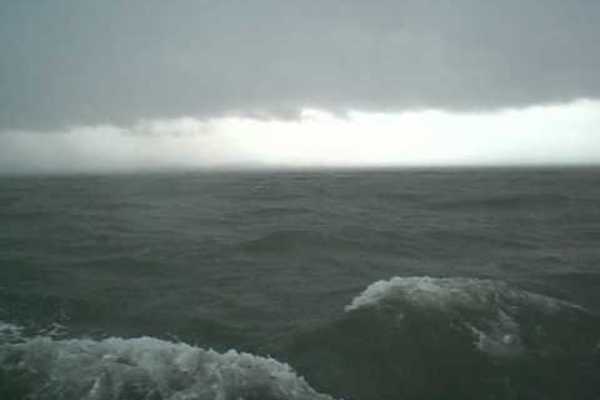
Third storm imminent to East Sea: forecasting centre
The East Sea is likely to record the third storm this year after a tropical depression in the east of the Philippines’ Luzon Island strengthens and moves in the next one or two days.
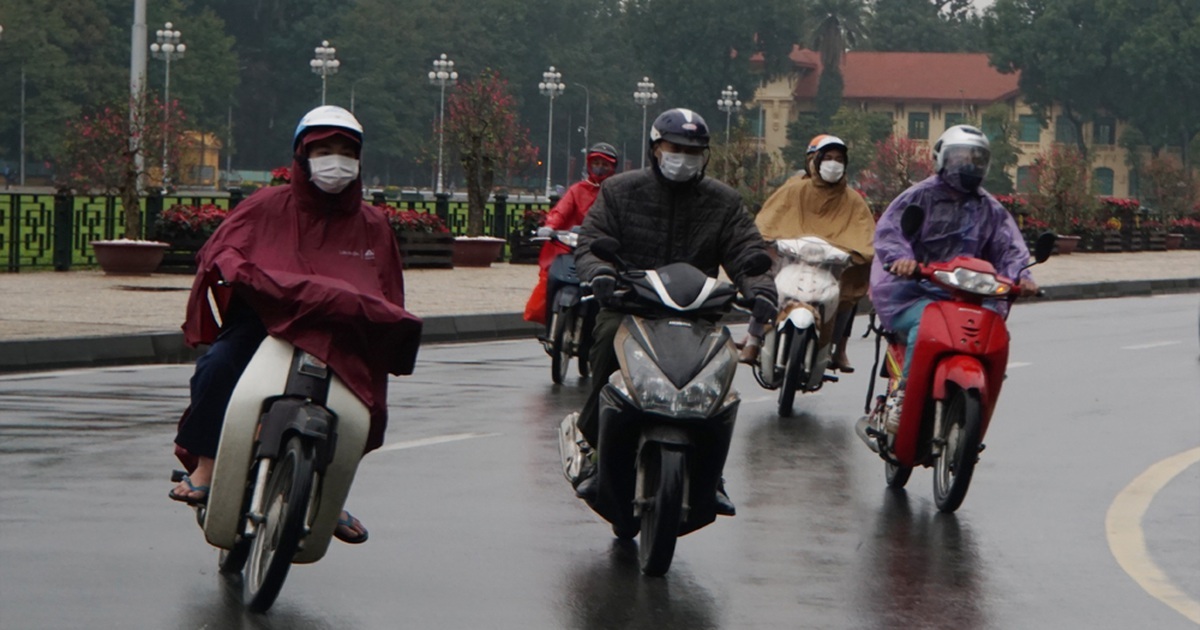
Cold spell to cause temperatures to drop as the north faces frosty conditions
A strong cold spell is forecast to hit the country's northern and north-central regions starting from February 13, bringing with it spells of rain, frost, and a drop in temperatures to below six degrees Celsius in some mountainous areas.
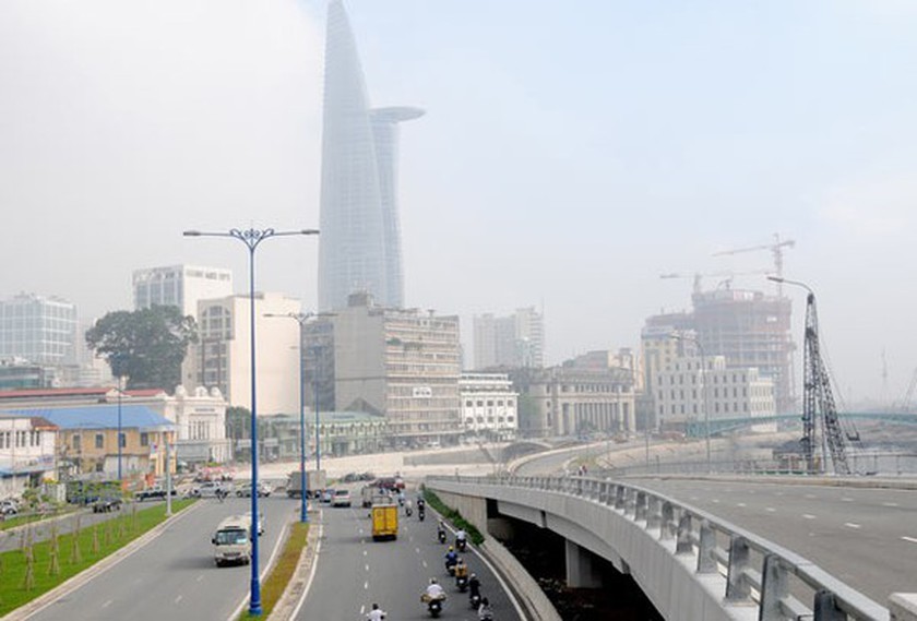
HCMC records lowest temperature since beginning of 2021
Deputy Head of the Forecasting Division of the Hydro-meteorological Station in the Southern Region Le Dinh Quyet informed that HCMC recorded the lowest temperature of 22oC in the early morning of December 4 since the beginning of the year.
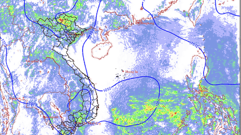
Southern provinces brace for heavy rain caused by intertropical convergence zone
According to the National Center for Hydro-Meteorological Forecasting, the intertropical convergence zone with an axis passing through the South Central Coast connects with a low-pressure area in the East Sea moving inland
Hanoi receives real-time flood warning technology
The National Centre for Hydro-Meteorological Forecasting and HydroScan Company of Belgium signed a cooperation agreement on the transfer of real-time flood forecast technology for Hanoi’s inner areas.
Northern Vietnam to suffer heat waves up to 41-42 degrees Celsius
It is forecast that this summer the weather in the Northern region of Vietnam will not be as intense and prolonged as it was in 2020. However, there may be heat waves in some provinces with the highest temperatures reaching 41- 42 degrees Celsius.
Storm Choi-wan appears near East Sea
A storm with the international name of Choi-wan has appeared in the central Philippines.
Weathermen on island 'with no women' miss home, but perform essential duties for nation
Departing from Cua Lo in Nghe An in cloudy windless weather, after 40 minutes of floating on the sea, the delegation of journalists arrived on Hon Ngu Island, just four kilometers from the shore but isolated and primitive.
Up to six storms to hit mainland this year: meteorologist
About 12-14 storms could hit the East Sea this year, with around half expected to directly affect Vietnam’s mainland, a meteorologist has said.
VN’s hydro-meteorological sector continues improving capacity, international co-operation in the future
Improving the capacity of hydro-meteorological monitoring and forecasting as well as strengthening international co-operation are identified as two major tasks of the national hydro-meteorological sector in the future.
North ready for upcoming severe cold spell
According to the latest report from the National Center for Hydro-Meteorological Forecasting, the chilling climate will strike the Northern mountainous provinces and then it will affect the North-Central and Central regions through next week.
Weather observers work for the most complete and accurate forecast
Despite their crucial role, not everyone is aware the silent dedication of weather observers, who have to overcome many difficulties to fulfil their tasks at work each day.
Warning system for landslides in communes remains poor
With the current data and technology, when weather patterns that can cause heavy rains appear, Vietnam can predict large-scale heavy rains in mountainous areas 1-2 days in advance
Torrential rain causes flooding in Ho Chi Minh City
Many streets in districts 2, 7, 8, 9, Binh Thanh, Thu Duc, Go Vap and Binh Chanh were submerged in water after a torrential downpour prolonged during an hour last night.
East Sea to see storms in October and November
In October and November, the East Sea will have strong storms, which will affect provinces in central Vietnam.
Vietnam set to endure extremely cold spells in early 2021
Vietnam is likely to be hit by prolonged spells of cold weather in January and February of 2021, with temperatures expected to drop below previous years’ average levels.
Heavy rains forecast nationwide
Many regions across the country are expected to see heavy rains from September 13 to 23, with downpours forecast mainly during the night and early morning, the National Hydro-meteorological Forecast Centre said.
Northern and central regions braced for cold spell starting from early March
 Regions located in the north of the country are forecast to be hit by a fierce cold snap which is set to begin from March 2, according to the National Centre for Hydro-meteorology Forecasting.
Vietnamese scientists work on first seasonal forecasting numerical model
 The risks from tropical typhoons for offshore fishermen and cargo vessels will fall if typhoons can be forecast 3-6 months in advance.v
Data assimilation remains difficult for Vietnam’s scientists
 In order to give accurate weather forecasts, it is necessary to have good data assimilation, but this is still challenging for Vietnamese researchers.
