 Vietnamnet.vn

 Podcast



In 2006, when the International Civil Aviation Organization (ICAO) held its first meeting on UAVs, or Unmanned Aerial Vehicles, the terminology still focused primarily on the vehicle itself.
In 2007, ICAO established the Unmanned Aircraft Systems Study Group (UASSG), broadening its approach to encompass UAS, or Unmanned Aircraft Systems.
ICAO now distinguishes between an UA, or Unmanned Aircraft, meaning the aircraft itself, and a UAS, which encompasses the aircraft and the associated components required for its operation.
That shift reflected a different way of thinking: a drone, the common everyday term for an unmanned aircraft, does not fly on its own. Behind it are an operator, control equipment, communication links, data and rules governing the use of airspace. Managing UAVs therefore requires looking at the entire chain that allows them to take off, operate and be identified. What began as a question of a “vehicle” has become a question of a “system.”
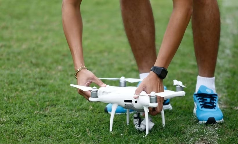
An unmanned aerial vehicle. Photo: Vietnam+
Recent appearances of UAVs in active flight areas, threatening aviation safety at Tan Son Nhat International Airport and several other airports in Vietnam, can therefore be viewed as more than isolated incidents. They mark a point at which two aviation ecosystems are moving increasingly close to each other in the same sky.
Traditional civil aviation operates within a highly controlled system. Aircraft are registered, pilots are licensed and flights have plans; air traffic controllers know which aircraft they are dealing with, where they are and where they are expected to go. In principle, anything moving through this airspace has an identity and behaves predictably.
Meanwhile, a second ecosystem is rapidly expanding at lower altitudes. UAVs have become tools for filming, surveying, agriculture, rescue operations, construction, infrastructure inspection and cargo transportation. A drone can take off from a backyard or construction site while its operator has virtually no interaction with the traditional aviation system.
One ecosystem is centralized, standardized and tightly controlled; the other is decentralized, accessible and evolving rapidly alongside consumer technology. Risks emerge when the two enter the same airspace without sufficient mechanisms to recognize each other.
Imagine a small object appearing near the approach path to a runway. During the first few minutes, controllers may not know whether it is a drone or another object, who is operating it, whether it has authorization or where it is heading.
A UAV does not have to collide with an aircraft to disrupt aviation operations. Uncertainty over how it will behave may force other aircraft to hold, divert or temporarily suspend takeoffs and landings. The resulting disruption therefore stems not only from the UAV itself, but also from the uncertainty surrounding it.
Even an authorized drone can look like an illegal target if the system cannot identify it. If its identity and authorization status can be established quickly, the response may be very different. The fundamental risk, therefore, lies not simply in an “incursion,” but in an object from one ecosystem entering the operational space of another without the system knowing what it is.
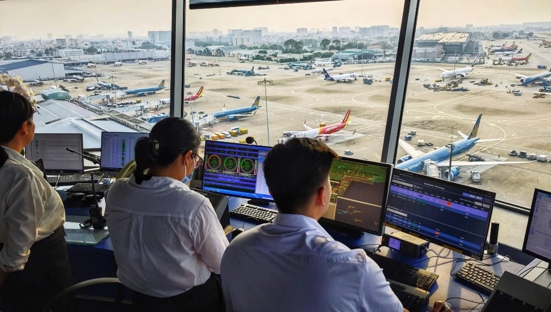
Proposals to equip major airports with UAV detection, warning and countermeasure systems are necessary. But detecting more targets does not automatically make an airport safer. Radar may generate a track; radio-frequency equipment can detect control links, while cameras can help confirm an object’s shape. Yet there remains a considerable gap between determining that “there is an object there” and knowing “what that object is and what should be done about it.”
The US Federal Aviation Administration (FAA) notes that UAS detection systems cannot independently determine intent or threat level. If sensors cannot quickly distinguish between a bird, an authorized drone, an unauthorized drone or a false signal, more data does not necessarily mean greater certainty.
The measure of an effective “drone shield,” therefore, should not simply be how many kilometers its radar can cover. More important is how quickly the system can detect and identify an object and move from “we do not know” to an evidence-based course of action. A good system must shorten the journey from uncertainty to knowing what to do.
Nor can battlefield logic simply be transferred to an airport. Jamming, signal spoofing or interception can themselves create secondary risks, including to communications, navigation or GNSS, the Global Navigation Satellite System. In civil aviation, the objective is therefore not to bring down a UAV at any cost, but to reduce overall risk.
Building a bridge between two ecosystems
If UAVs are viewed solely through the lens of a “threat,” the natural response will be stronger radar and more powerful countermeasures. A more fundamental approach, however, is to make the majority of legitimate UAV operations visible, identifiable and manageable before countermeasures even need to be considered.
The European Union’s U-space, a set of digital services supporting UAS traffic management, reflects this thinking through services including UAS Flight Authorisation, Geo-awareness, Network Identification and Traffic Information. These services are designed to help manned aircraft and UAS share airspace more safely and efficiently.
Singapore has approached the issue through identification. Since December 1, 2025, most UA weighing more than 250g and operated outdoors have been required to carry Broadcast Remote Identification, or B-RID, except in certain exempted cases. B-RID can essentially be thought of as an “electronic license plate” in the sky.
UAV manufacturers also have an important role to play. Technologies such as Remote ID, geo-awareness and geofencing can help bring airspace rules directly to UAV devices.
DJI, a Chinese UAV manufacturer, has used its GEO system in sensitive areas. In late 2025, the company converted its remaining restricted zones into enhanced warning zones, while emphasizing that its own data does not replace official information provided by authorities.
What Vietnam needs to learn is not to simply transplant U-space, Remote ID or geofencing into the country, but to embrace the thinking behind them: creating a common language that allows the two ecosystems to see each other. Once most legitimate UAVs become known airspace users, radar and C-UAS, or counter-unmanned aircraft systems, can concentrate on objects that are uncooperative or unidentified.
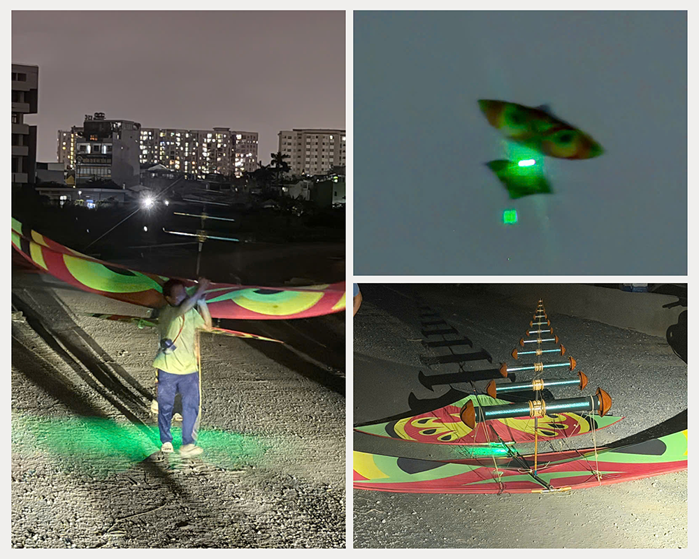
Vietnam has already taken an important institutional step with the 2024 Law on People's Air Defense, No. 49/2024/QH15, and Decree No. 288/2025/ND-CP on the management of unmanned aircraft and other flying vehicles. The issue now is not simply to introduce more prohibitions or increase penalties, but to ensure that regulations, data, equipment and technology can connect with one another.
Users must first be able to determine whether they are permitted to fly in a particular location. Digital maps showing prohibited and restricted areas, altitude limits and operating conditions need to be accessible from an operator’s phone.
The next step is digital identification and authorization. When a UAV appears near an airport, the system should be able to quickly determine whether the device is registered, whether its operation has been authorized and whether it has deviated from its approved limits. At that point, an apparently anonymous object becomes something that can be managed.
Building this “digital bridge” is not merely a matter of investing in infrastructure. Challenges also involve data standards, updates to flight zones, information latency, interoperability between devices and UAVs already in circulation. Europe’s U-space regulations likewise require compliance with principles covering open exchange protocols, interoperability, data quality and latency. If systems cannot communicate with each other, the two ecosystems have still not truly met.
Only after that comes a multisensor detection system in which radar, RF, or radio frequency, and EO/IR, or electro-optical/infrared, technologies complement one another; countermeasures should come last, as the final layer of protection. A “drone shield” is therefore not simply a ring of equipment around a runway, but a chain of prevention, identification, detection and response.
The future of aviation will bring more UAVs, low-altitude transportation and delivery, autonomous operations and new types of flying vehicles. Keeping the two ecosystems completely separate is therefore not a sustainable strategy. A small UAV should not force an entire airport to wait for an extended period simply because the system cannot answer basic questions: What is it? Who owns it? Is it authorized? Where is it going? Nor should efforts to eliminate a drone inadvertently introduce additional risks into the very system being protected.
The most important “shield” in the UAV era is not a piece of equipment beside the runway. It lies in the ability to connect data, law, technology, manufacturers and users so that the two ecosystems can recognize each other - because there is only one sky.
If that sky is to have enough room for both traditional aviation and the unmanned world to operate safely, harmoniously and efficiently, without drone incursions causing further delays and safety risks, we must build a bridge between these two ecosystems.
Nguyen Phuoc Thang (Hoa Binh University)
.svg)
