 Vietnamnet.vn

 Podcast



The sound of drilling and demolition now echoes continuously through aging neighborhoods along Van Kiep and Khuong Dinh streets. Corrugated metal barriers have appeared along Nguyen Trai, Quang Trung and Pham Hung roads. Excavators and cranes operate in some of the most densely populated parts of the capital.
Hanoi is experiencing a wave of infrastructure construction unlike anything seen in decades.
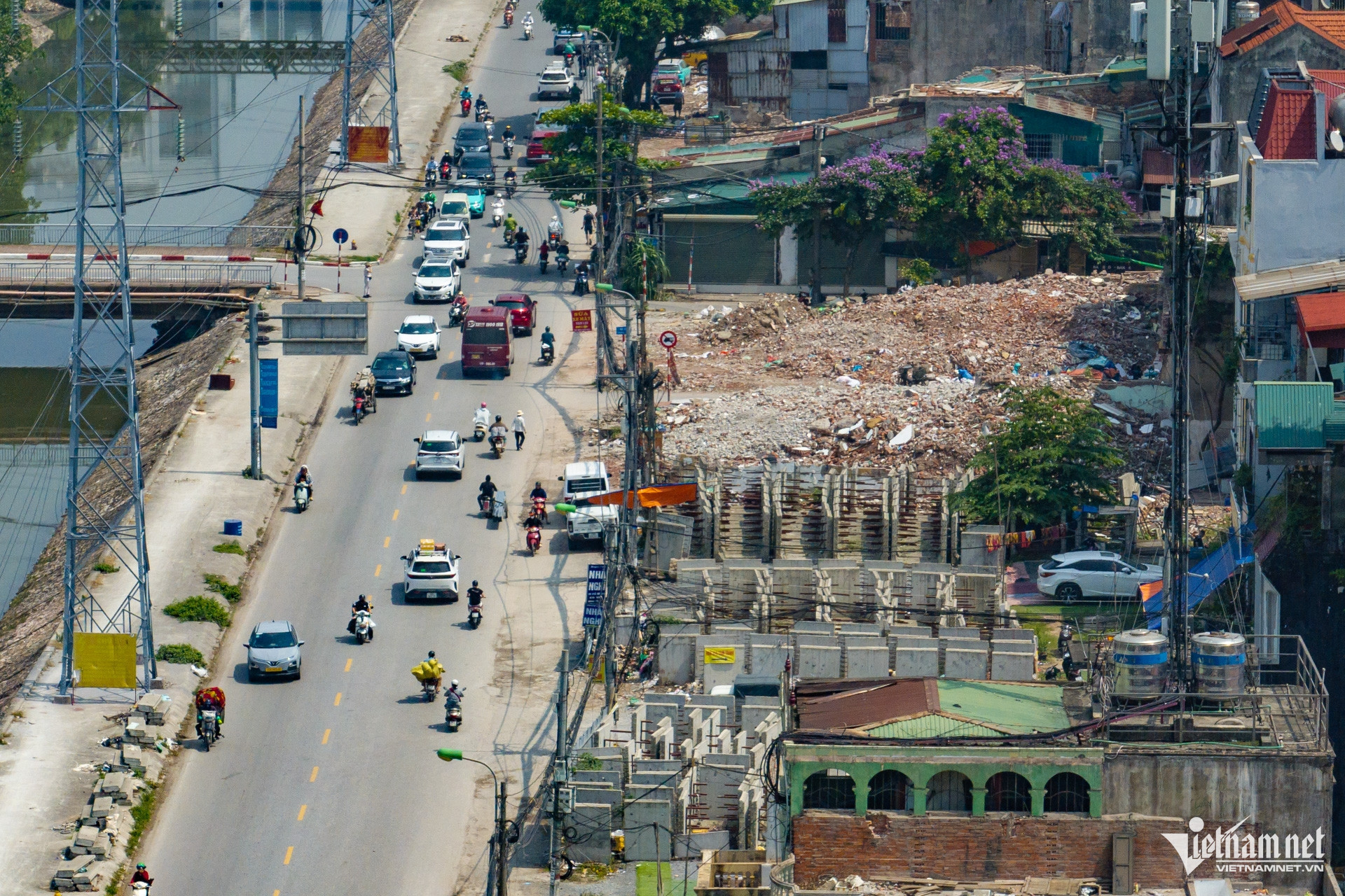
At the Ring Road 1 section connecting Hoang Cau and Voi Phuc, labor forces and machinery have been deployed at maximum capacity. Representatives of the project said that even during public holidays, all construction fronts continued operating without interruption.
From the city center to the outer ring roads, a series of major projects are now accelerating simultaneously: Ring Road 1, Ring Road 2.5, Red River bridges, the Nhon - Hanoi Railway Station metro line, connecting routes to Thang Long Boulevard and the inner-city flood prevention system.
Many construction sites are operating around the clock under “three shifts, four crews” schedules in an effort to meet deadlines.
According to Hanoi authorities, the city currently has 1,428 projects undergoing land clearance procedures, including 27 major projects aimed at resolving critical urban development and socio-economic infrastructure bottlenecks.
Notably, several projects that had stalled for years due to site clearance issues are now moving forward rapidly. Thousands of households are busy relocating to make way for roads, bridges and urban renewal works.
Rebuilding the transport framework of a megacity
For years, Hanoi has existed in a near-permanent state of overload - chronic traffic congestion, flooding after heavy rain, fragmented infrastructure, encroached sidewalks and densely packed populations concentrated in the historic urban core.
Now, the city is attempting to address multiple structural problems simultaneously.
Hanoi is rebuilding the “transport skeleton” of a future megacity. The ring roads are expected not only to ease pressure on the urban core, but also to fundamentally reshape traffic circulation across the city.
The expansion of Red River bridge systems is intended to open new development space toward the north and east. Meanwhile, the metro network is expected to become the backbone of a new public transportation system, reducing dependence on private vehicles.
The city’s transportation philosophy is also shifting from a model where “all roads lead to the center” toward a multi-polar urban structure focused on regional connectivity and decentralized traffic flows.
Most recently, on May 19, Hanoi broke ground on a major expansion of National Highway 1 from Ring Road 1 to the Cau Gie interchange. The 36.3-kilometer corridor passes through 18 wards and communes and will be widened to 90 meters with 16 lanes and a design speed of 80 kilometers per hour.
The route is expected to reduce congestion at the southern gateway of the capital.
Under Vietnam’s national development strategy, the National Highway 1 - Phap Van - Cau Gie expressway corridor is identified as a key economic axis connecting Hanoi with southern provinces and coastal regions, while supporting logistics, industrial development and multimodal transport.
Hanoi launches largest anti-flood campaign in years
At the same time as transportation upgrades, Hanoi has entered its largest anti-flooding campaign in many years.
At the end of 2025, the city approved nearly VND5.6 trillion ($215 million) for a series of urgent flood-control projects.
These include upgrades to drainage systems in urban areas such as Resco, Ecohome, Tay Ho Tay, Ngoai Giao Doan and Ciputra; the construction of a major box culvert system along Vo Chi Cong Road toward the To Lich River; and improvements to the Thuy Phuong canal to supplement water for the To Lich River and increase drainage capacity.
Hanoi is also upgrading the lower section of the Kim Nguu River connected to the Yen So pumping station, renovating pumping stations along Thang Long Boulevard and constructing a series of large-scale retention lakes including Phu Do, Me Tri - Dong Bong 2, Yen Nghia 1 and Yen Nghia 2.
At the same time, the city is adding pumping stations, water retention systems and drainage networks across the To Lich - Ta Nhue basin.
Many of the projects are required to complete key components before the 2026 rainy season.
From patchwork solutions to long-term urban restructuring
Beyond infrastructure, Hanoi is tightening urban management, addressing sidewalk encroachment, restoring construction order, renovating old streets, widening narrow roads and redeveloping deteriorating residential areas.
Every year, Hanoi gains hundreds of thousands of new residents through migration. The number of private vehicles continues rising while the city’s old urban structure has changed little.
Roads designed decades ago are now burdened by a megacity of more than 8.5 million permanent residents along with large transient populations. Nearly all traffic, schools, hospitals and employment opportunities remain concentrated in the historic urban core.
As temporary fixes became increasingly ineffective, Hanoi was forced into an entirely different phase - large-scale urban restructuring.
This time, the city is not merely implementing isolated projects. Behind the endless construction sites lies a new planning vision with a century-long perspective.
According to Hanoi leaders, the capital is now enjoying unprecedented conditions for carrying out a strategic transformation of its development model.
Hanoi Party Secretary Tran Duc Thang said Politburo Resolution No. 02-NQ/TW on building and developing the capital in a new era has established a long-term strategic vision for the city.
Meanwhile, the 2026 Capital Law has opened what he described as a “new institutional space,” granting Hanoi special mechanisms, tools and powers never previously available.
Combined with the capital’s 100-year master plan, Hanoi now possesses, for the first time, a strategic framework, legal foundation and long-term development space capable of supporting urban restructuring on a large scale.
According to Tran Duc Thang, these three foundations are enabling Hanoi to shift from a mindset of “urban management” toward one of “development creation.”
The city has identified three major transformations: shifting from growth driven by capital, land and labor toward growth based on productivity, knowledge, technology and innovation; shifting from public investment dominance toward public investment that mobilizes broader social resources; and transitioning from traditional industries toward green economy sectors, circular economy models and high-value services.
“This is not only a transformation of the economy, but also a transformation in development thinking,” the Hanoi Party chief emphasized.
A vision for a green, smart global megacity
Under the capital’s 100-year master plan, Hanoi aims to become a “green, smart and globally connected megacity,” organized under a “multi-layered, multi-polar, multi-center” urban structure.
Urban space will be reorganized around ring roads, radial corridors, metro systems and new development hubs in the east, west, south and north.
Hanoi plans to establish nine major urban centers based on the comparative advantages of each area.
Hoa Lac will continue developing into a hub for science, technology, innovation and education. Phu Xuyen is planned as a logistics and high-tech industrial center for southern Hanoi. Son Tay will evolve into a cultural, heritage and ecological urban area, while the northern bank of the Red River is envisioned as a new center for economic integration.
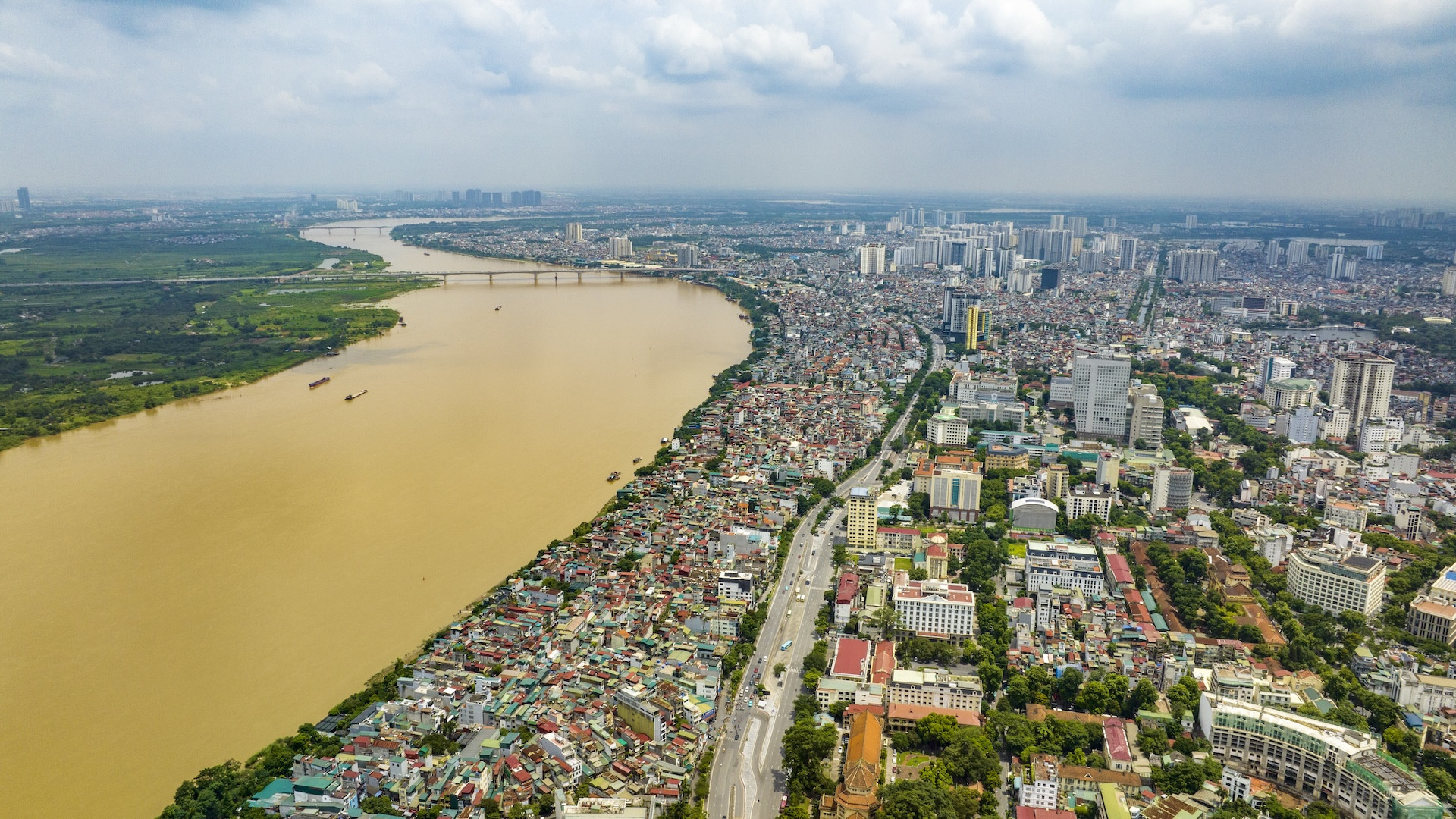
Most importantly, Hanoi now identifies the Red River as the city’s primary ecological and cultural landscape axis.
For years, the Red River mainly functioned as a flood corridor. Riverside development remained fragmented, poorly connected and marked by weak infrastructure.
Under the new master plan, however, both banks of the river will feature scenic boulevards, public spaces, ecological parks, financial centers, commercial districts and new urban developments.
That vision is gradually becoming reality as a series of Red River bridge projects - including Tu Lien, Tran Hung Dao, Ngoc Hoi, Hong Ha and Me So bridges - move forward simultaneously.
For the first time, Hanoi is attempting to redefine its entire development structure: expanding urban areas to both sides of the Red River, creating multi-center urban clusters, redistributing population density, building multi-layer transportation systems, developing transit-oriented urban zones around metro lines, reducing pressure on the historic core and reorganizing drainage infrastructure under a “sponge city” model.
That means Hanoi of the future will look very different from the Hanoi of today.
A city once shaped by dense development and dependence on motorbikes is now being redesigned around public transportation, green corridors, riverside urbanism, underground infrastructure and regional connectivity.
Toward a more livable capital
Every urban reconstruction brings disruption.
Behind the construction fences and chaotic worksites are undeniable impacts on the daily lives of residents. But city leaders see this as a necessary transition for Hanoi to enter an entirely new stage of development.
To meet public expectations, Hanoi aims to become a more livable city - one defined not only by high-rise buildings, but also by efficient transportation, cleaner environments, abundant green space and people-centered development policies.
Thanh Hue
.svg)
